L.A.’s trails are a muddy mess. Stay dry on these 3 scenic paved paths instead
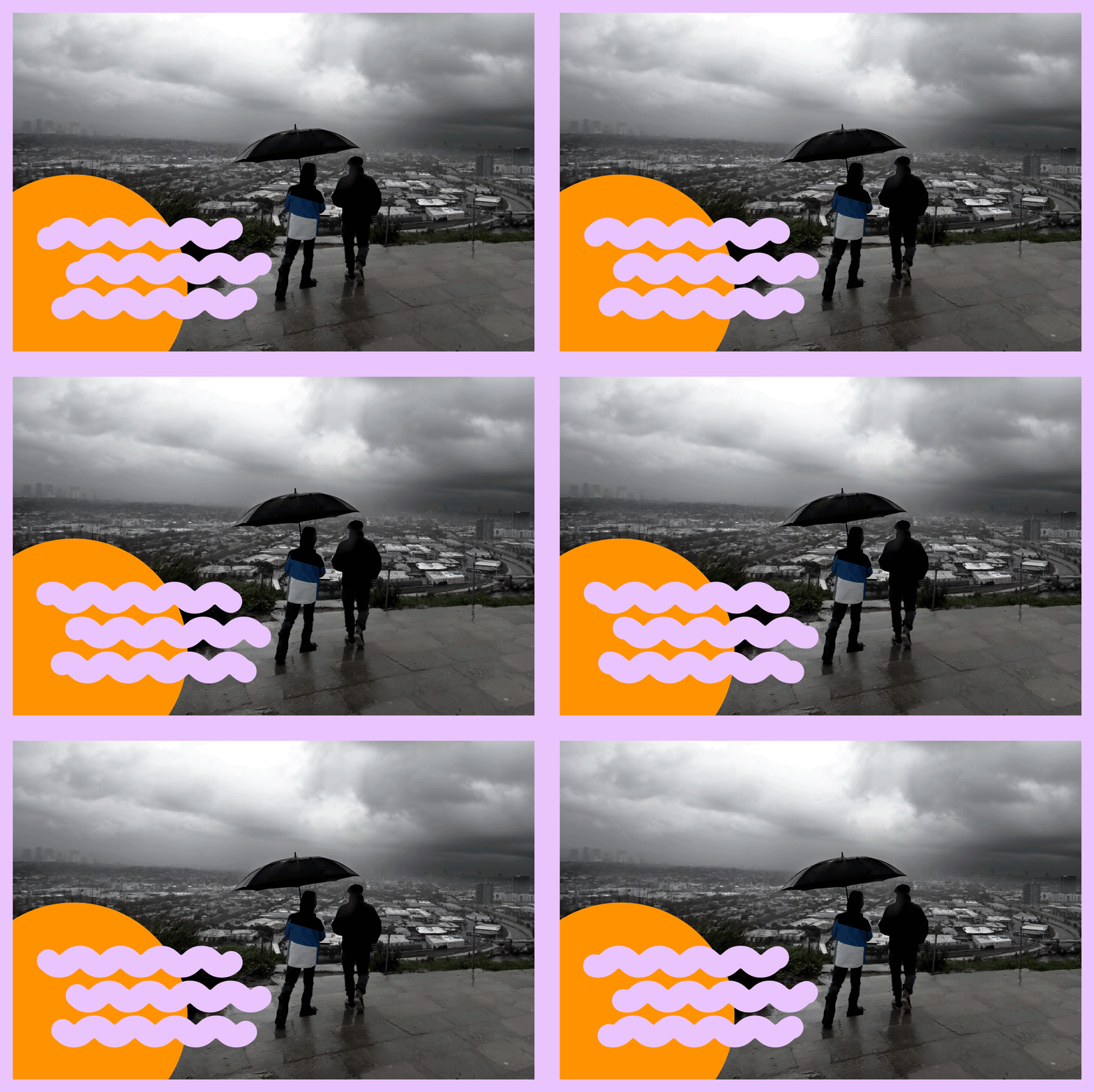
I love this time of year in Los Angeles. The return of the rain always feels refreshing after months of hot weather, and the plants soak up the water and transform hillsides all over the city into a lush shade of green. Unfortunately, all that moisture has one big drawback for outdoor recreation: muddy, waterlogged trails.
Hiking or cycling on a mucky path will not only get you dirty, it can also damage the trail itself. The boot prints and tire tracks you leave behind in the mud will eventually harden, creating a rough, uneven surface that can last for months.
You are reading The Wild newsletter
Sign up to get expert tips on the best of Southern California's beaches, trails, parks, deserts, forests and mountains in your inbox every Thursday
You may occasionally receive promotional content from the Los Angeles Times.
“Somebody walks on a wet trail, they put a boot print in it and they think, ‘Oh, it’ll be OK.’ But that thing could still be there in August when you come back,” said Dash Stolarz, director of public affairs for the Mountains Recreation and Conservation Authority, which manages parkland around the L.A. region.
Stubborn prints are just one consequence of the rain. A wet trail often has puddles, and hikers instinctively avoid them by walking along the edge of the path. In the process, they trample plants that keep dirt in place along the trail, widening the route and increasing erosion. Heavy rain also loosens the soil, causing sinkholes, mudslides and downed trees, which can make a route dangerous or impassable.
So what’s an L.A. adventurer to do? The best advice: Give our wildlands time to dry out. One rule of thumb is to wait 24 hours for every inch of rain that falls, but that can get tricky since the mountains usually receive more rain than low-lying areas. If you’re itching to get outdoors between rainstorms, try heading to parks and routes with paved trails to get your fix. I’ve rounded up a few of my favorites below.
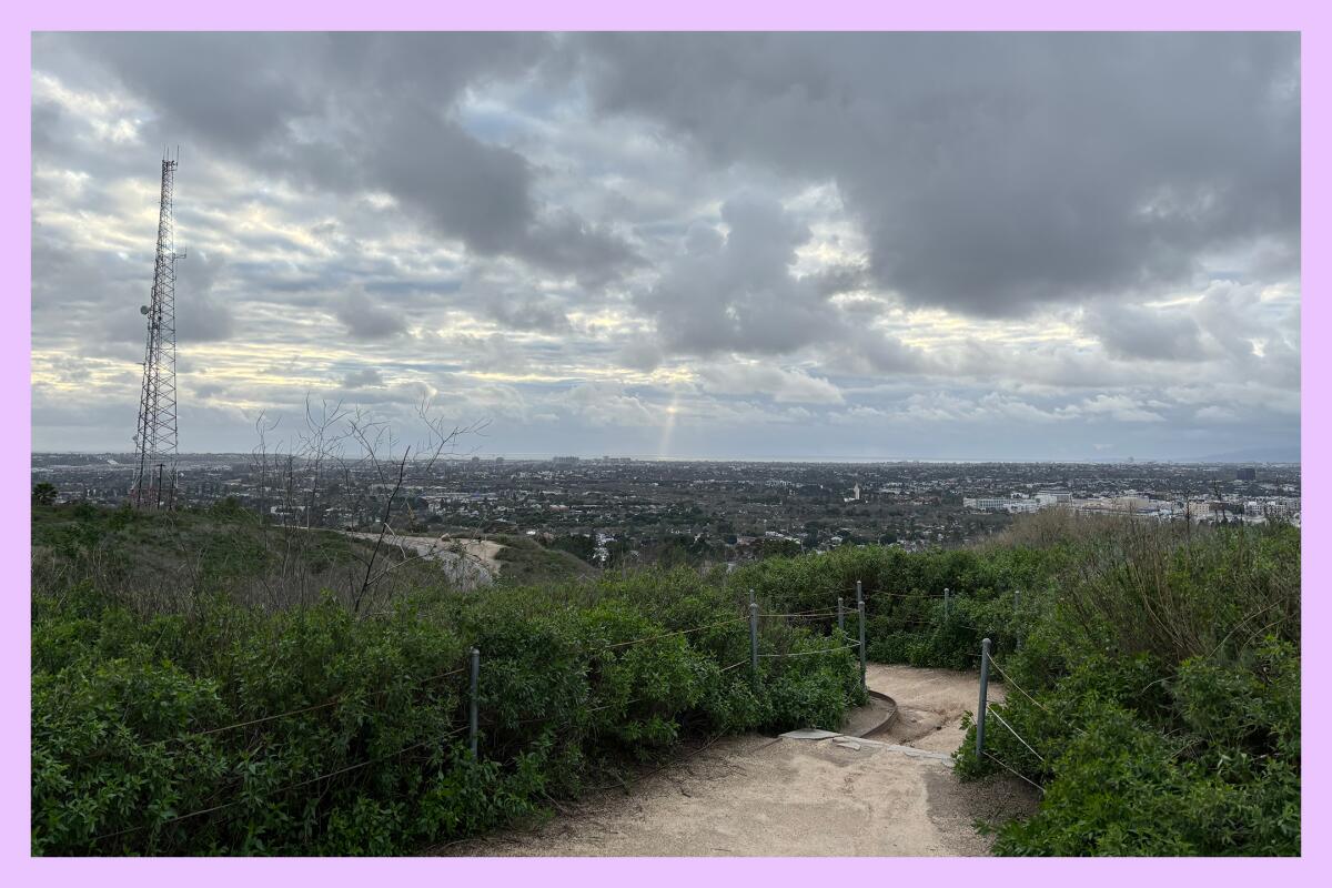
Baldwin Hills Scenic Overlook: This is a go-to spot for me, and it’s especially nice during the winter and spring. Park along Jefferson Boulevard and you can run or ride up paved Hetzler Road to the top of the 500-foot hill. This steep half-mile stretch of tarmac is a serious challenge for runners and cyclists, but the reward is worth it. At the summit, you’ll get sweeping views of the ocean and downtown L.A., and thanks to the rain, the park’s chaparral plants smell incredible.
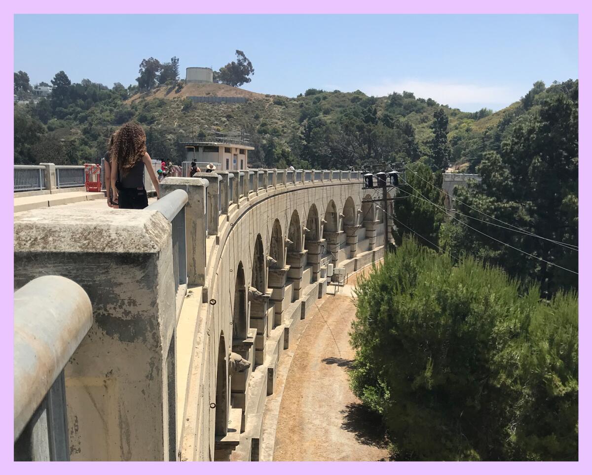
Lake Hollywood: Tucked into the Hollywood Hills on the western edge of Griffith Park, Lake Hollywood is an ideal spot for a mellow walk or bike ride. Park along Lake Hollywood Drive and then walk down to the lake, passing through a gate to access the paved road that circles the water. The road is basically flat, but it serves up some great sightseeing opportunities. In a 3.3-mile loop, you can glimpse the Hollywood sign and enjoy a panoramic view of the city from the dam at the south end of the lake. Keep an eye out for deer — they’re often spotted in this area.
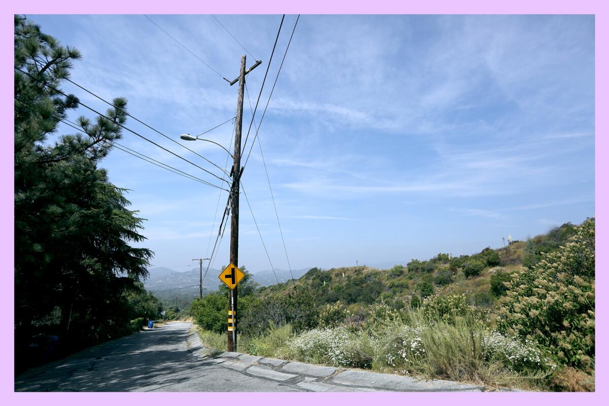
Mt. Lowe Road to the Cape of Good Hope: Mt. Lowe Road is a partially paved road that follows a former railroad grade in the San Gabriel Mountains above Altadena. For a mud-free trek, drive a mile up Chaney Trail and park near the gate — that’s the beginning of Mt. Lowe Road. Follow the road as it squiggles up to the Cape of Good Hope, a promontory with expansive views of the mountains and the L.A. basin. An out-and-back hike along the road covers about 4.7 miles. If conditions permit, you can also check out the adjacent Sunset Ridge Trail or hike even farther on connecting trails like the Mount Lowe Railway Trail.

3 things to do
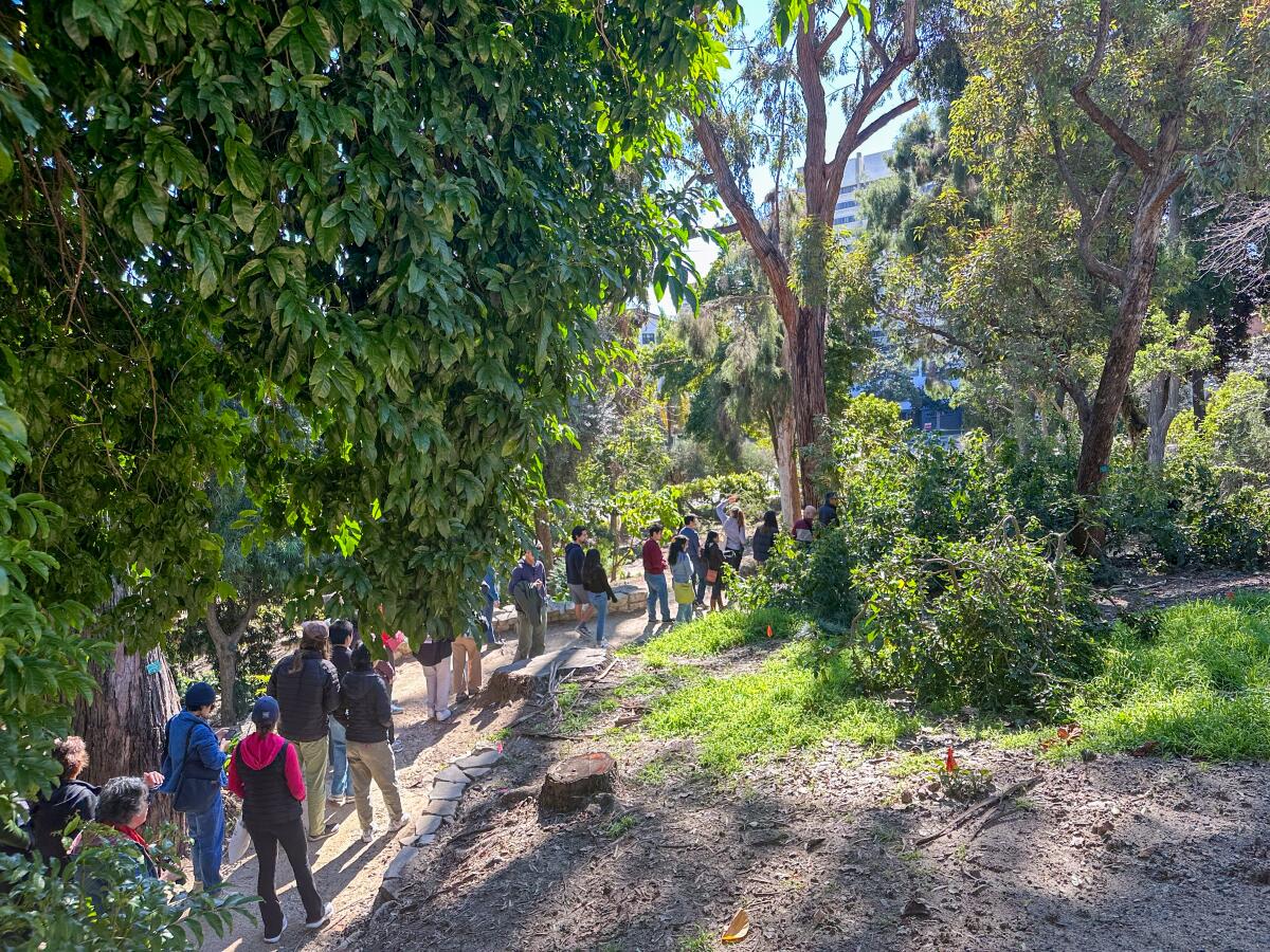
1. Tour a botanical oasis in Westwood
Learn about flora from all over the world on a walk through UCLA’s 7.5-acre public garden. During the one-hour tour, educators at the university’s Mathias Botanical Garden will highlight a handful of plants and their relevance to society. Guides will meet at the La Kretz Garden Pavilion at 10 a.m. on Saturday. All ages are welcome. No need to RSVP, but you can check out more details at eventbrite.com.
2. Bird-watch in the Ballona Wetlands
Take a three-hour field trip to a birder’s paradise. Volunteers from the Los Angeles Audubon Society will teach visitors about the oft-overlooked ecosystem and provide binoculars to view the feathered friends who inhabit the area up-close. Even better: The Los Angeles Public Library is offering free transportation from its Westchester branch to the event. The bus leaves at 9:30 a.m. this Saturday and will return around 12:30 p.m. Learn more about the event at lapl.org, and RSVP by emailing [email protected].
3. Dash past a merry-go-round in Los Feliz
Walk, run or race a 5K or half-marathon on the main trails of Griffith Park. The Los Angeles Parks Foundation’s Griffith Park Run course offers a scenic tour of the park’s well-known landmarks, including Travel Town Museum, the zoo, and the Autry Museum of the American West. The event kicks off Sunday morning, with the half-marathon starting at 7:30 a.m. and the 5K at 10 a.m. Fees for the 5K and half-marathon are $55 and $95 respectively. You can register at runsignup.com.

The must-read
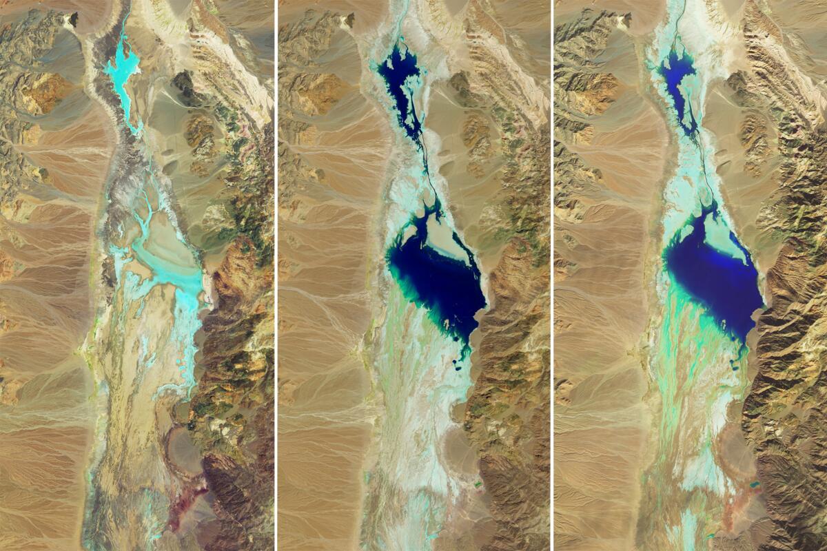
Death Valley National Park, otherwise known as the hottest place on Earth, is looking a little different these days. For the first time since 2005, a lake — called Lake Manly — has formed in Badwater Basin, an expanse of salt flats within the park that are usually bone-dry. As Times reporter (and former writer of The Wild) Lila Seideman reports, it first appeared after Death Valley received record-breaking rains from Tropical Storm Hilary, and it got a boost in size thanks to another rainstorm that walloped the park earlier this month. Believe it or not, it’s now possible to kayak around Death Valley. Even with all the rain, the water won’t last forever — now’s the time to plan a trip to see it yourself.
Happy adventuring,

P.S.
California’s presidential primary election is March 5, but the presidential race is just one of many items on the ballot. Of particular note is Measure HLA, a proposed law that would require the city to follow its mobility plan and build the bus, bike and pedestrian improvements it already approved. Measure HLA has attracted plenty of support from Angelenos (myself included) who are fed up with the city’s dangerous streetscape, but as the Times Editorial Board points out, some groups are spreading misleading information about the proposal. Check out the editorial for a clear-eyed look at Measure HLA’s effects, and make sure to vote!
For more insider tips on Southern California’s beaches, trails and parks, check out past editions of The Wild. And to view this newsletter in your browser, click here.
Sign up for The Wild
We’ll help you find the best places to hike, bike and run, as well as the perfect silent spots for meditation and yoga.
You may occasionally receive promotional content from the Los Angeles Times.


