Illustration by Nick Lu / For The Times; animation by Li Anne Liew / Los Angeles Times
8 enchanting night hikes to take in L.A. as the weather warms up
The night sky. Van Gogh thought it to be “more alive and more richly colored than the day.” And with the days getting warmer and longer, there’s no better time to revel in it.
Some of my most memorable hikes have happened at night — there’s something about the silent serenity of the darkness that amplifies my senses. As my shoes hit the soil, I listen to the nocturnal fauna — the coyote yips and owl hoots — and inhale the scent of familiar California sagebrush.
Luckily, Los Angeles is filled with accessible, urban-adjacent trails that are generally safe for night hiking, as long as you follow some guidelines:
- Choose a familiar trail. It’s best if you’ve hiked the route at least once during the day before exploring it at night. As always, never veer off trail.
- Go with a group. No matter the setting, it’s safer — and often more fun — in numbers.
- Bring a headlamp or flashlight. The city lights or a full moon might be enough to illuminate your path. Still, bring a light source, preferably with multiple brightness settings and red light options to preserve your night vision. Don’t forget to pack extra batteries. A note about flashlights: Safety is first, of course, but try not to blind other hikers or disturb crepuscular or nocturnal wildlife. It’s good hiking etiquette.
- Dress warmly. Or at least bring layers to stay comfy in the evening chill. Trekking poles and good hiking boots or trail shoes will give you extra stability.
- Start around sunset. Why not enjoy golden hour too? Pick a clear, mild weather day and, if you choose a hike with city views, watch how the skyline transforms after dark.
While it’s important to be hyperaware of your surroundings and practice increased caution with your footing, I must also give you this advice: Don’t forget to look up. See what Van Gogh was talking about. The night sky can be truly magical when you take the time to notice it.
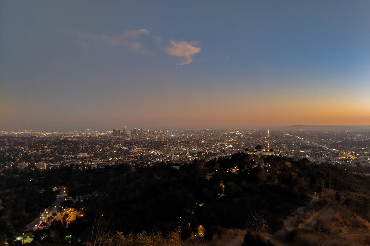
Griffith Park
The hike: Though there are many accessible options throughout the 4,310-acre urban wilderness, I recommend a five-mile loop highlight reel that visits Mt. Hollywood, the park’s most iconic peak.
Park in the Upper Merry-Go-Round lot and head for the Bill Eckert trailhead at the site of the now-abandoned Old L.A. Zoo, a spot that adds an air of haunted history to the hike. The path climbs west, passing by water tanks and chaparral staples before reaching a junction with the paved Vista Del Valle Drive. Turn right here and connect with the North Trail shortly ahead — this short, steep stretch is endearingly known as Cardiac Hill (you’ve been warned) — followed by another left onto the final gradual ascent to Mt. Hollywood’s prominent peak.
There, rewards await. Picnic tables and benches sit at the summit, offering a resting spot to gawk at the awe-inspiring 360-degree vistas. You’re surrounded by the hulking San Gabriel and Verdugo mountain ranges, but the real shining star is the sprawling city below. Past the famous Griffith Observatory (reachable via an additional 2.5-mile out-and-back; open until 10 p.m.) is our magical, massive metropolis. This is what you came for and the reason Griffith is arguably the best city park in the nation for visiting at night. When you’re ready, head east down the Hogback Trail, which passes by Dante’s View (one of a handful of local park gardens) and Glendale Peak and connects with Vista Del Valle Drive. Here, turn right and find the Fern Canyon Trail on your next left, which will deposit you back at the parking lot.
Bonus tip: If you’d prefer to go with a group, the Griffith Park Section of the Angeles Chapter of the Sierra Club leads a group at 7 p.m. on Tuesdays and Thursdays. Arrive early if you plan to join. The Griffith Observatory also hosts public stargazing events.
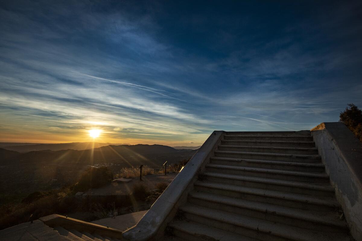
Echo Mountain
The hike: Head through the gated entrance to a paved path that eventually veers left onto a dirt single-track to begin your grueling switchbacks. Here, you also have the opportunity for a spooky side-trip to the haunted ruins of the Cobb Estate. As you continue your climb, hugging granite walls under towering yuccas and brushing past the taco leaves of laurel sumac, panoramic views of the San Gabriel Valley become more and more grand.
At the 2.5-mile mark, you’ll encounter ruins of the Old Mount Lowe Railway, which once shuttled ecotourists to the Echo Mountain House Resort, a 40-room Victorian chalet built in 1893 that succumbed to natural disasters and was eventually abandoned in 1937 (use your headlamp to read the interpretive signs). Before descending, find the ancient, eponymous echo phone on the north end of the ruins and listen to your yells and yodels bounce off the canyon walls. There are also picnic tables, perfect for a late night snack as you enjoy city light views that stretch to the downtown skyline, Orange County and beyond.
Bonus tip: For a shorter hike nearby, try the Altadena Crest Trail (trailhead on Tanoble Drive).
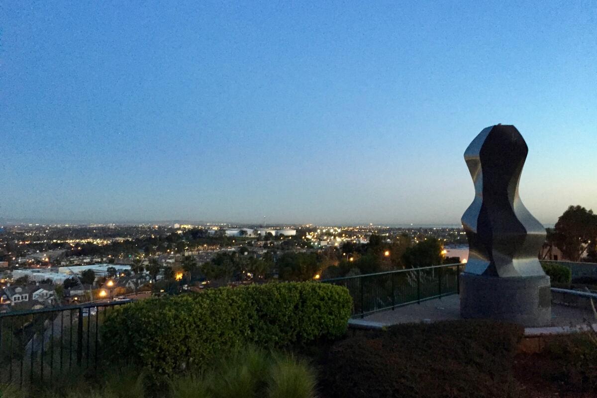
Hilltop Park
The hike: Start your suburban stroll at Discovery Well Park, where one of the biggest oil strikes in U.S. history happened in 1921. The gravel road starts next to one of the park’s many oil derricks (yes, there are still active wells here). Take the stairs on your left past the 9/11 Unity Monument. Head north along the paved Panorama Road, which soon connects to a dirt path that flanks a future nature preserve, workout machines and interpretive signs and offers incredible views down to the downtown skyline and San Gabriel Mountain backdrop.
After about a mile, you’ll reach Hilltop Park, where you’ll find some neat art installations (including frames for some gorgeous sunset photos), along with views-de-force. The night panoramas here are special — you get the glow of downtown Long Beach, the Port of Los Angeles and even the distant twinkle of Avalon on Santa Catalina Island. For this gentle jaunt, I recommend coming before dark for one of the most magical sunset viewings in L.A. with a picnic to enjoy during the transition to the shimmering coastal city light show.
Bonus tip: Prior to your visit, consider checking out the Point Fermin Lighthouse in San Pedro or Lions Lighthouse at the Long Beach Harbor, which are both situated in beautiful coastal parks.
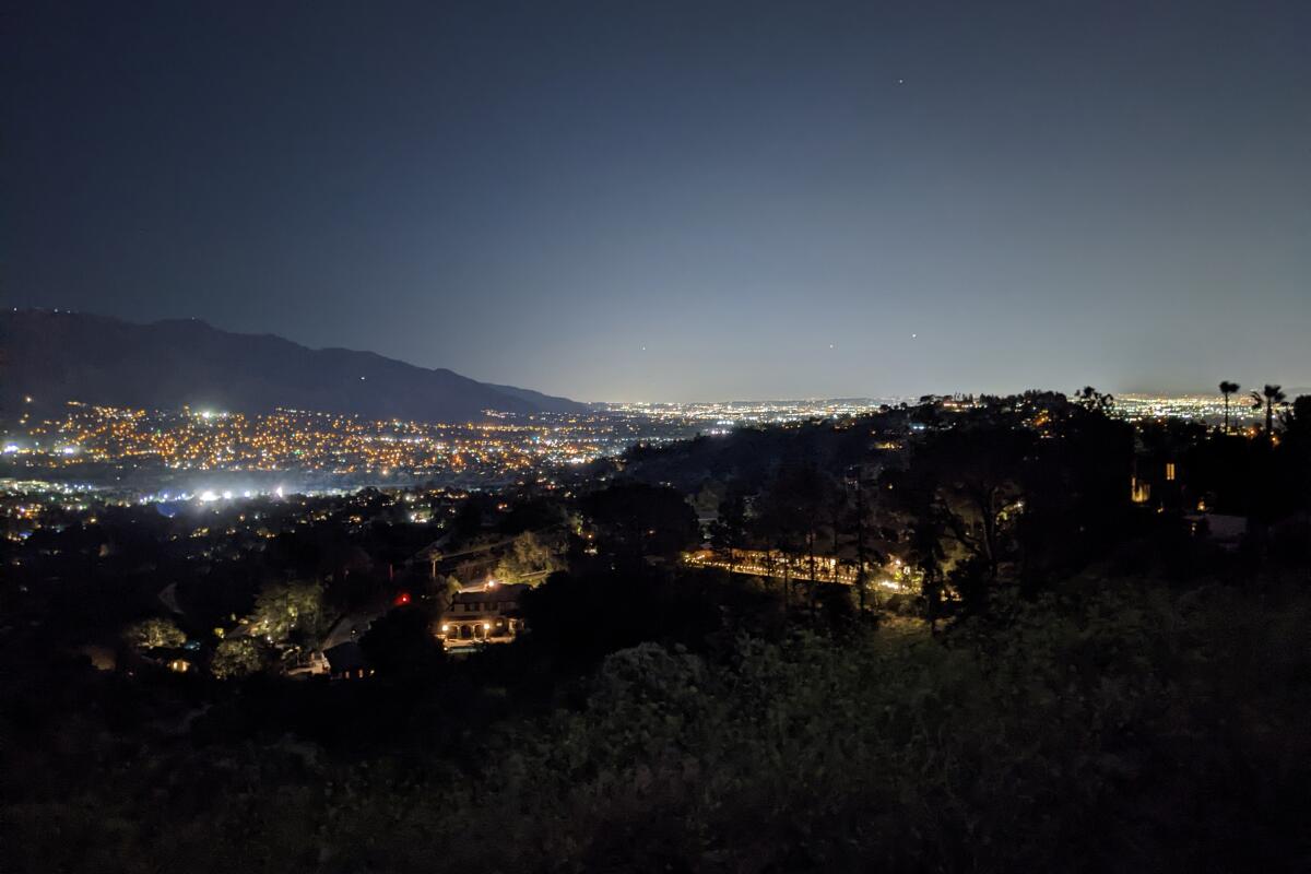
Cherry Canyon Park
The hike: Find street parking or park in the small dirt lot and ascend up a fire road (Cherry Canyon Motorway) overlooking the luscious canyon, where crepuscular mule deer may be active around sunset. Views of the San Gabriels are constantly behind you, but the real fruits of your labor arrive when you reach the Five Points Junction. Here, head on the Ridge Motorway to your left, straight toward the Cerro Negro fire tower. From this lookout, check out panoramic views of Glendale and beyond to the south, as well as a bench overlooking the San Gabriel Valley. After that, snag a quick trip to the “Ultimate Destination” (yes, the spot is actually called that) for even more views and a water fountain. Complete the loop via the descending Owl Trail, which deposits you in an enchanting forest of towering, gnarled coast live oaks on your way back to the trailhead.
Bonus tip: Why not spend the whole day in nature by visiting neighboring Descanso Gardens before your hike?
Big Sky Trail
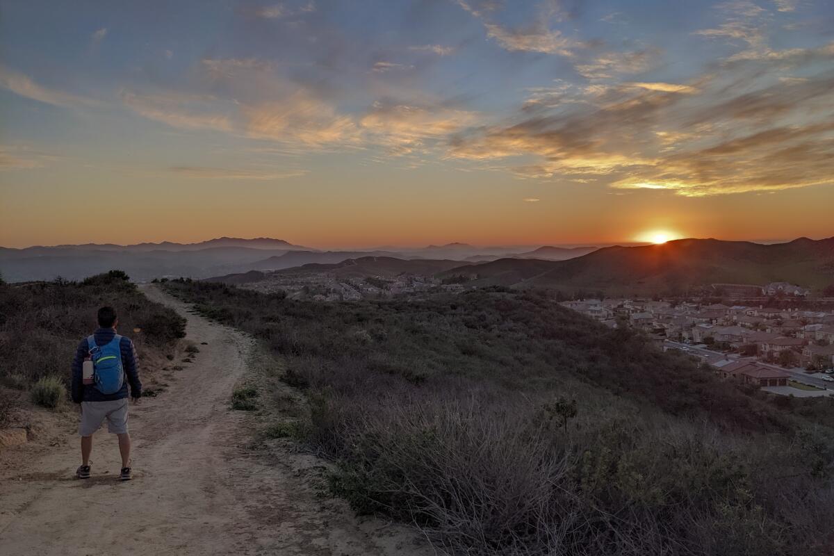
The hike: Starting at the unassuming corner of Erringer Road and Falcon Street, the hike begins with a slow and steady ascent on a dirt trail, which is, at times, broken up by roads. You’ll enjoy green rolling hills throughout, with canyon views that are both serene and grand. Whiteface Mountain, the second-highest summit in the area with an elevation of 2,300 feet, looms in front of you and is gorgeous during golden hour. Near the end of the first half of the loop, you’ll reach the highpoint — a plateau. Stay away from the edge as it’s a surprisingly sheer drop.
From the top, you’ll find views of the Santa Monica Mountains to the south, prominent Oat Mountain to the east and, of course, the tranquil, shimmering lights of the surrounding Simi Valley neighborhoods. The trail terminates at Lost Canyons Drive, which is a great alternate starting point if you arrive early, around sunset. Otherwise, head back on the other trail heading south.
Bonus tip: Across the street is Big Sky Park, which provides stunning sunset vistas, and Simi Dog Park, perhaps the coolest pooch space in all of SoCal.
Baldwin Hills Scenic Overlook
The hike: The parking lot closes at sunset, so park on Jefferson Boulevard and start your evening exercise through the 58-acre green space at golden hour. While there are a few options for getting to the top, I recommend taking the stairs — there are 282 in total. (Count ‘em: It will keep your mind off your weary legs!)
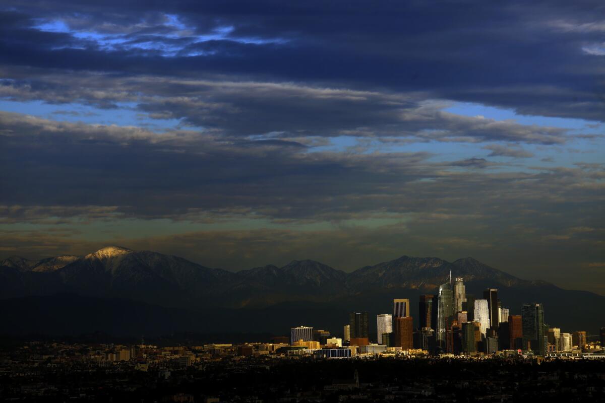
The vistas behind you become more and more phenomenal as you climb. At the top, explore meandering trails among a native botanical garden, a visitor center and multiple spots to admire our sprawling metropolis. There’s a path at the south end of the park (Jim Webb Trail) that takes you to Kenneth Hahn Regional Park, which closes at 5:30 p.m. As darkness falls over the city, enjoy incredible glittering views of downtown Santa Monica and the pier (plus accompanying bay and mountains) to the downtown skyline framed by the San Gabriels. Take the gradual dirt path down to the bottom; it is safer than walking down uneven stairs at night.
Bonus tip: More advanced climbers can do the stairs twice for double the workout and double the epic cityscapes.
Gould Mesa Trail Camp
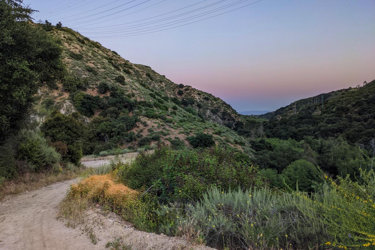
The hike: After passing under a towering oak and subsequent eucalyptus, the Gould Mesa Trail Camp is just around the corner. Here, hikers are greeted with giant yucca, pines and other arboreal varieties. You may also be able to spot nocturnal winged residents, such as great horned or barn owls, or even the tiny “canyon” bats (Western Pipistrelle). In addition to picnic tables, there are five primitive walk-in sites perfect for a quick overnight escape. (They’re a great alternative to the more popular Henninger Flats site, which is currently closed.)
Bonus tip: There’s also an opportunity to extend your hike along the Gabrielino Trail, which follows the babbling arroyo seco stream through Fern Canyon all the way to Hahamongna Watershed Park. From this trailhead, you can also keep driving up State Route 2 for a few miles to see some incredible lookout points, though I don’t recommend venturing too deeply into the Angeles National Forest at night.
Leo Carrillo State Park
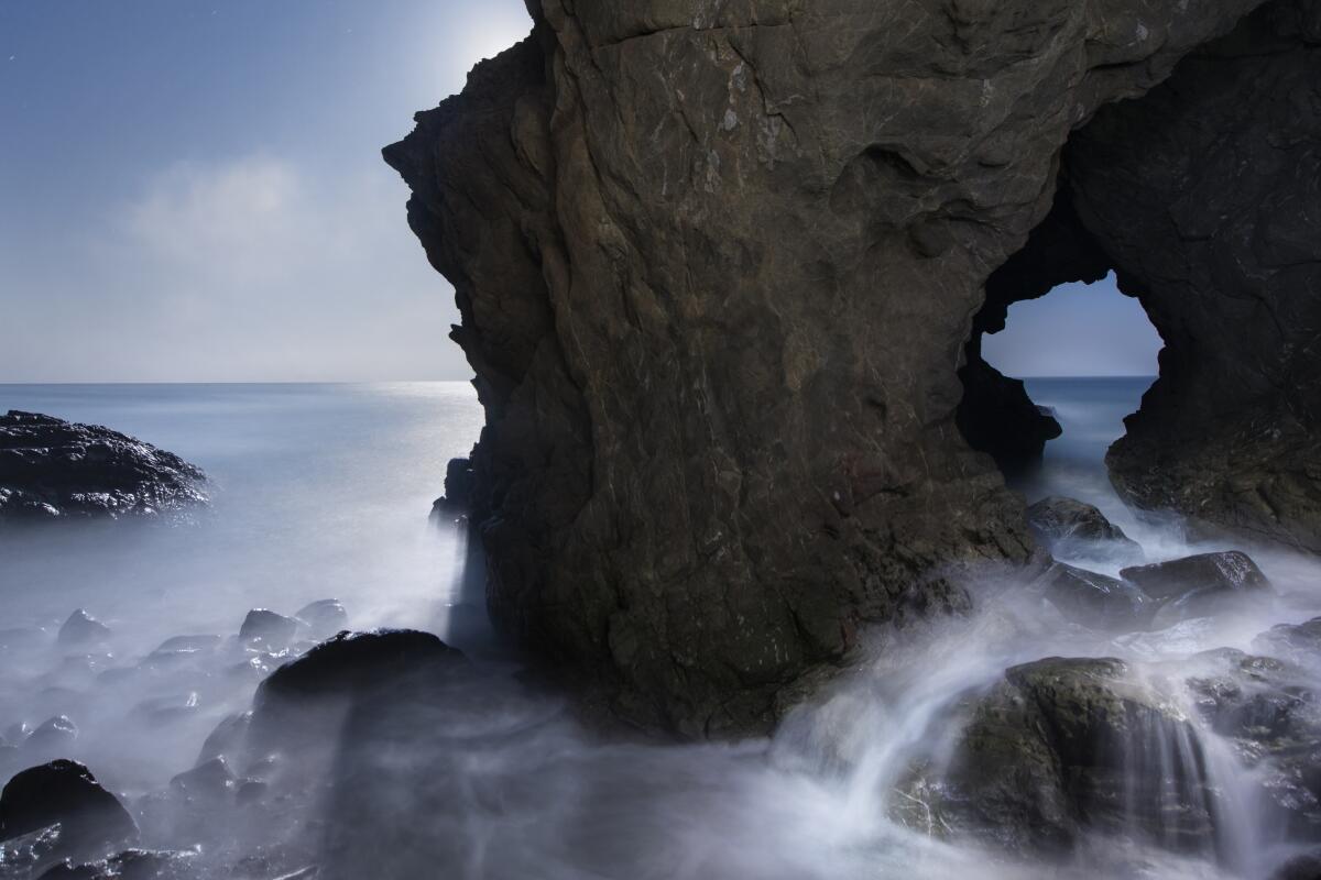
The hike: Park on the Pacific Coast Highway and head to the campgrounds to find the marked “Camp 13” trailhead, which heads into the canyon to a signed trail junction. Head left on the Nicholas Flat Trail to start your 600-foot ascent. The campground is lined with giant coast live oaks and sycamores and offers awe-inspiring coastal vistas that are absolutely stunning at sunset. Head right at the next junction for Ocean Vista. There are plenty of boulders to enjoy an evening picnic, with just an ounce of light coming from the charming seaside Malibu haunts. Complete your loop via the Willow Creek Trail, which hugs the ridge and passes dense groves of prickly pear cactus.
Bonus tip: Before leaving, head to the shoreline of the Leo Carrillo State Park itself via a marine-mural underpass. Named after “The Cisco Kid” star, who was also a staunch conservationist, the cove has been used as a backdrop in many Hollywood films (including “Grease” and “Cast Away”) and is the ideal setting for a late- night, post-hike rest on the sand.
Sign up for The Wild
We’ll help you find the best places to hike, bike and run, as well as the perfect silent spots for meditation and yoga.
You may occasionally receive promotional content from the Los Angeles Times.


