Advertisement
Filters

Neighborhood

Filter

Parks & Trails

Price

Difficulty

Length

Sort by

Showing  Places
Filters
Map
List
Whiting Ranch Wilderness Park
(Matt Pawlik)

Orange County, the hiking gem you need to know. Here are the 12 best trails

Share via

It’s no wonder that trails in Orange County sometimes get overlooked. With mountains to the north and east, it’s easy to miss the hidden gems in the county that’s host to 34 cities. The variety of habitats on these 12 hikes may surprise you: from woodlands to coastal chaparral to a botanical preserve. And did I mention the grove of coastal redwoods? It’s all waiting, with routes good for beginners and veteran hikers. By the way, the high point in O.C. is Santiago Peak at 5,689 feet on Saddleback mountain. It’s a 15-plus-mile exposed and strenuous hike to the top but is not included on the list because the main trailhead is closed.

Whether you’re looking for ocean views or desert landscapes or soaring mountain peaks, Los Angeles offers miles upon miles of strikingly different trails.
Showing  Places
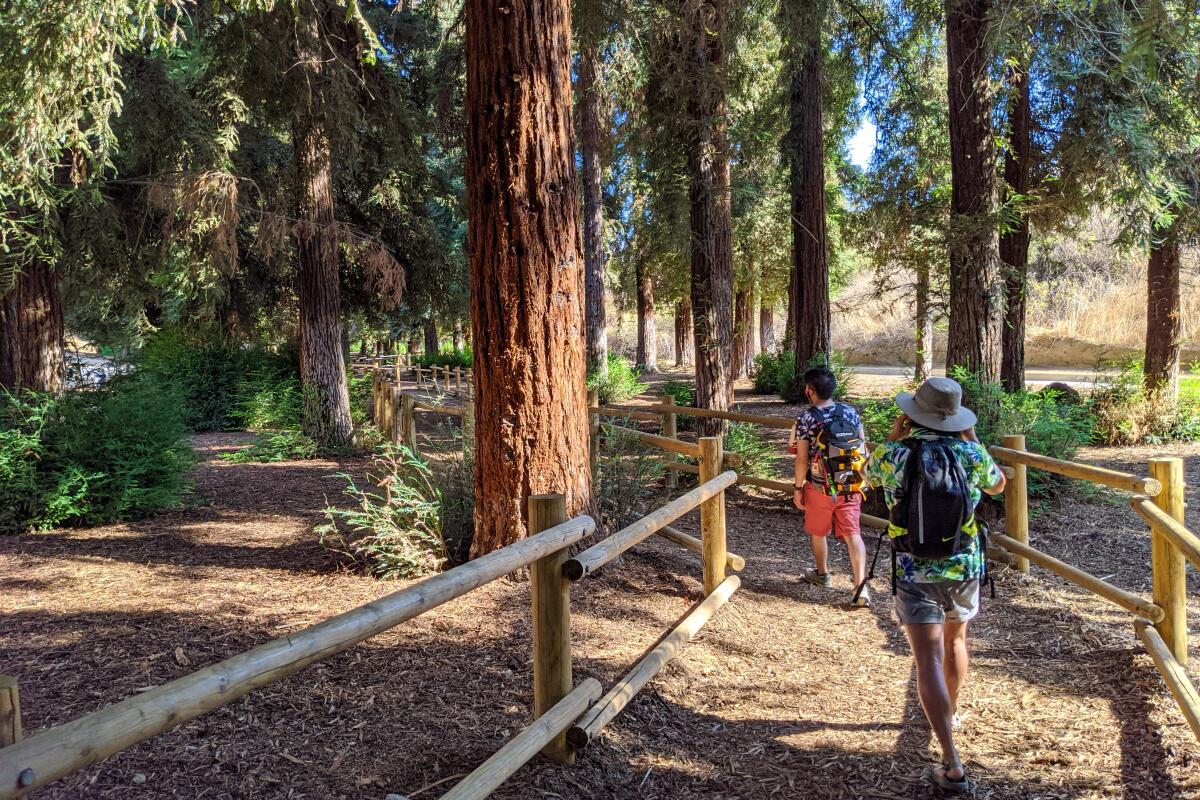
People walk on a dirt path through redwoods at Carbon Canyon Regional Park
(Matt Pawlik)

Carbon Canyon Regional Park, Brea

Urban Trail
2.0-mile loop
Easy
100 feet
Would you believe it if someone told you that you could find some of the tallest trees on Earth hidden in Orange County? Head to Carbon Canyon Regional Park in Brea to see for yourself by taking a two-mile loop through the 124-acre green space that includes recreational amenities and a serene lake.

The wide dirt path of the nature trail is well-marked throughout and meanders through dense shrubs and walnut trees (listen for resident towhees) before depositing you under the giant arboreal wonders after just half a mile. The grove of 241 coastal redwoods, the product of a local bank’s seedling promotion in the 1970s, is the largest of its kind in Southern California.

Interpretive signs detail their history, including the efforts of park rangers to preserve them despite Southern California’s arid climate. Among the nearly 100-foot Sequoia sempervirens specimens, you’ll notice the temperature drop more than 10 degrees (as if you need another reason to go). Before heading back, climb the steep trail at the southwestern corner for sweeping views that look down on the grove, as well as hulking Carbon Canyon Dam and the surrounding town of Brea.

Park in dirt or paved lots ($3 weekdays, $5 weekends); dog-friendly. Start at the nature trail from the south parking lot.
Read All Read Less
Route Details
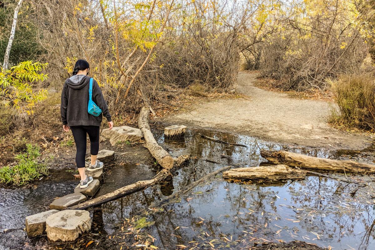
Woman walks across a creek on stones
(Matt Pawlik)

Santiago Oaks Regional Park, Orange

Urban Trail
3.5-mile loop
Easy
450 feet
Looking for the best dam hike in Orange County? Look no further than a 3.5-mile loop through beautiful Santiago Oaks Regional Park in Orange that features expansive views, local history and not one but two significant dams. The 1,269-acre park consists of a diverse multi-use trail system through riparian and chaparral environments with an impressive amount of interpretive and directional signage (if you want to extend your journey). Start at the nature center and head on the Historic Dam Trail alongside the serene Santiago Creek until you reach a small pond and the historic dam site, with original stonework from its construction in 1892. Next, hop onto the Santiago Creek Trail, ignoring junctions as the massive, modern Villa Park Dam (1963, used for flood control) completes your dam duo. The challenging and aptly named Mountain Goat Loop is also here for a side workout. Otherwise head northwest on the Bobcat Meadow Trail followed by the Sage Ridge Trail to enjoy continuous vistas and perhaps a grazing mule deer. Hop onto the Oak Trail and Wilderness Trail (got this memorized yet?) to find a charming wooden staircase, completing the loop.

Park in the dirt/paved lots ($3 on weekdays, $5 on weekends); dog-friendly. Start at the Historic Dam Trail at the nature center.
Read All Read Less
Route Details
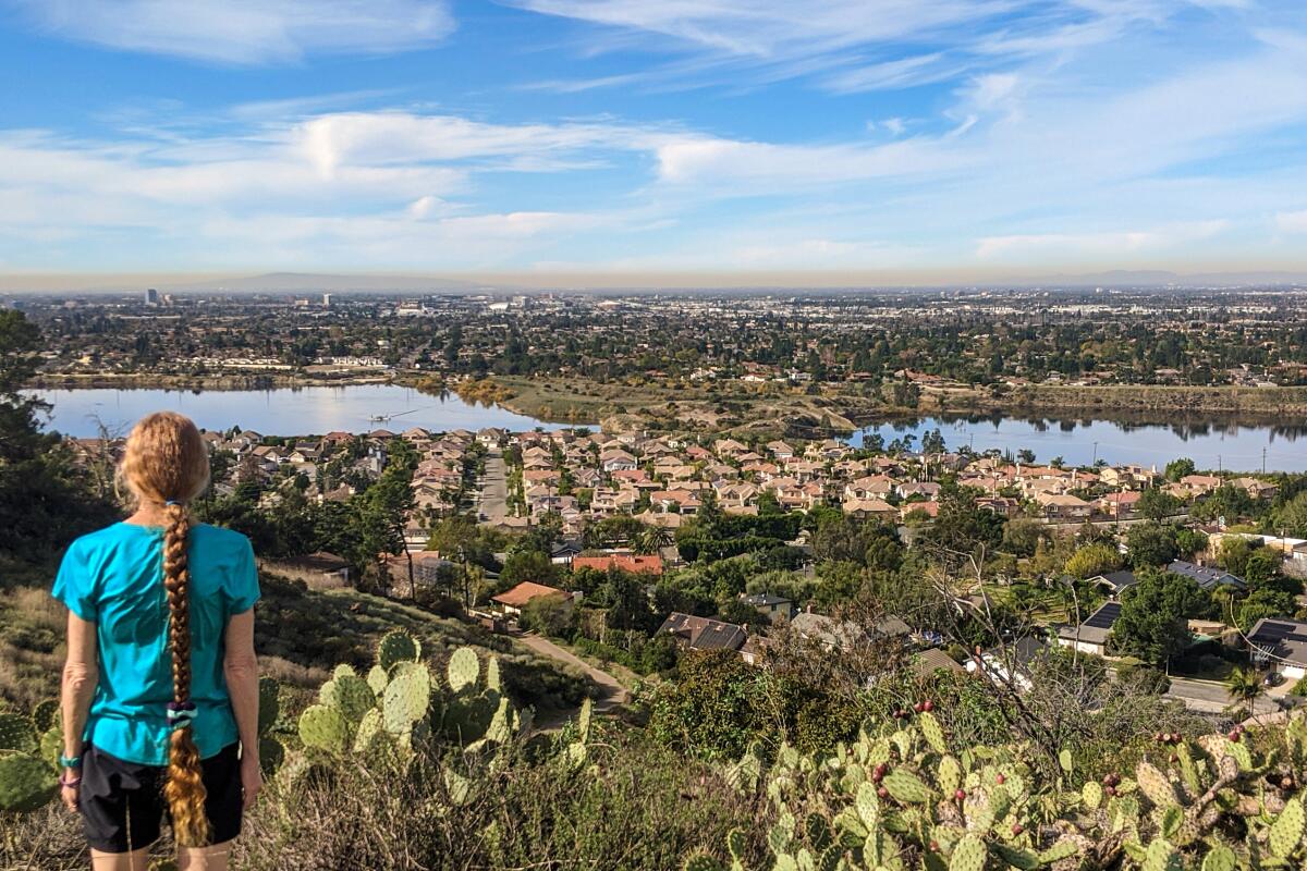
A woman looks out over a panorama of houses and ponds
(Matt Pawlik)

El Modena Open Space and Old Towne Orange, Orange

Urban Trail
4.5-mile loop
Easy
500 feet
Manicured beachfront towns. Legendary local theme parks. Upper-crust teen dramas. As the sixth-most populous county in the U.S., Orange County is no hidden haven. Even without the eponymous citrus, it basks in the California limelight. On your next visit, revel in eponymous attractions without the crowds with a hike on the Orange Hills Trail through El Modena Open Space and an urban jaunt through charming Old Towne Orange.

At Cannon Street and Patria Court, look for a single-track trailhead that climbs 500 feet in just half a mile, rewarding you with views of the Santiago Creek Basin and O.C. suburbia. As you walk by plentiful prickly pear cactus (look and listen for cactus wren), you can spot downtown Los Angeles as well as the peaks of the San Gabriels and Santa Anas and even Catalina Island on a clear day. The trail connects with Cannon Street, where you will most likely complete your loop without having seen a single Orange County resident. Head to the Orange Metrolink station to find free parking and head east on Chapman Avenue to grab a local lager at Chapman Crafted Beer (try the red ale with coffee) before your trek through the city’s Old Towne district. Take time to explore the incredibly picturesque area that’s home to the second-largest concentration of historical buildings in the state as well as the pristine Chapman University grounds.

Park on the street or in a free paved lot. Dog-friendly. Start at Cannon Street and Patria Court for the 2.5-mile trail and two-mile walk on city streets to complete the loop.
Read All Read Less
Route Details
A hiker walks on a walkway beneath a large cave overhang
(Matt Pawlik)

Aliso and Wood Canyons Wilderness Park, Laguna Niguel

Laguna Niguel Urban Trail
11.0-mile loop
Strenuous
1,000 feet
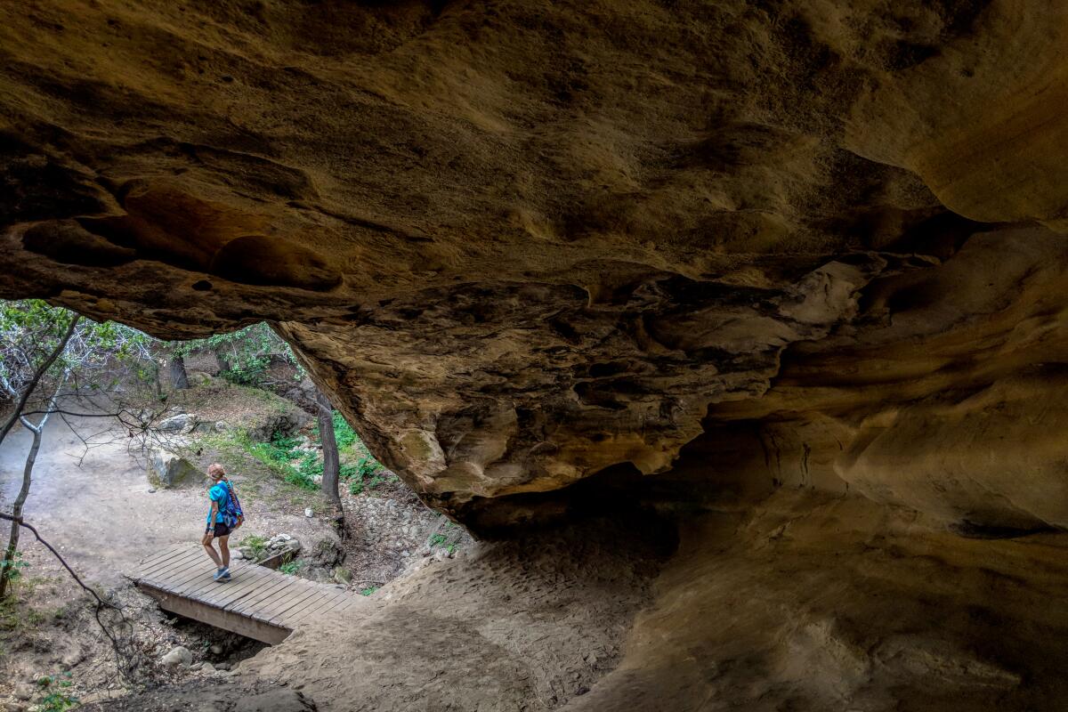
Compelling caverns, magnificent meadows, palatial panoramas, oh my! If you want a true greatest-hits hike in Orange County, head straight for Aliso and Wood Canyons Wilderness Park in Laguna Niguel for an 11-mile, 1,000-foot-gain highlight reel romp. Start at the visitor center and check out the short native-flora loop for an educational warm-up stretch. The paved Aliso Creek Trail then descends into the canyon, with rolling hills of sage, mustard and even artichoke plants (look for purple blooms). Look for a sign for Dripping Cave, one of many accessible sandstone cavities in the hulking 4,500-acre park (also check out Cave Rock), which was allegedly used as a hollowed hideout for 19th century livestock thieves. After exploring the geological grotto, continue on the Mathis Canyon Trail through enchanting oaks among riparian woodland before challenging yourself on the Car Wreck Trail, a technical, part-rock-scramble ascent. Halfway up, spy an old rusted Dodge sticking out of the dense chaparral. You’ll soon reach the 1,000-foot summit aptly named Top of the World, rewarding you with 360-degree vistas that do not disappoint. The prominent peaks of Mt. Baldy (north) and Santiago (east) dominate the inland backdrop, but the coastal views are breathtaking — and it’s a good spot for a mid-trek picnic. On the return half of the loop, don’t miss the Wood Canyon Trail segment that crosses a babbling stream by way of a short boardwalk.

Park in the free paved lot; dog-friendly. Start at the Aliso Creek Trail at the visitor center.
Read All Read Less
Route Details
Advertisement
A man walks up steps surrounded by palms and other trees
Niguel Botanical Preserve
(Matt Pawlik)

Niguel Botanical Preserve, Laguna Niguel

Laguna Niguel Urban Trail
4.0-mile out-and-back
Easy
200 feet
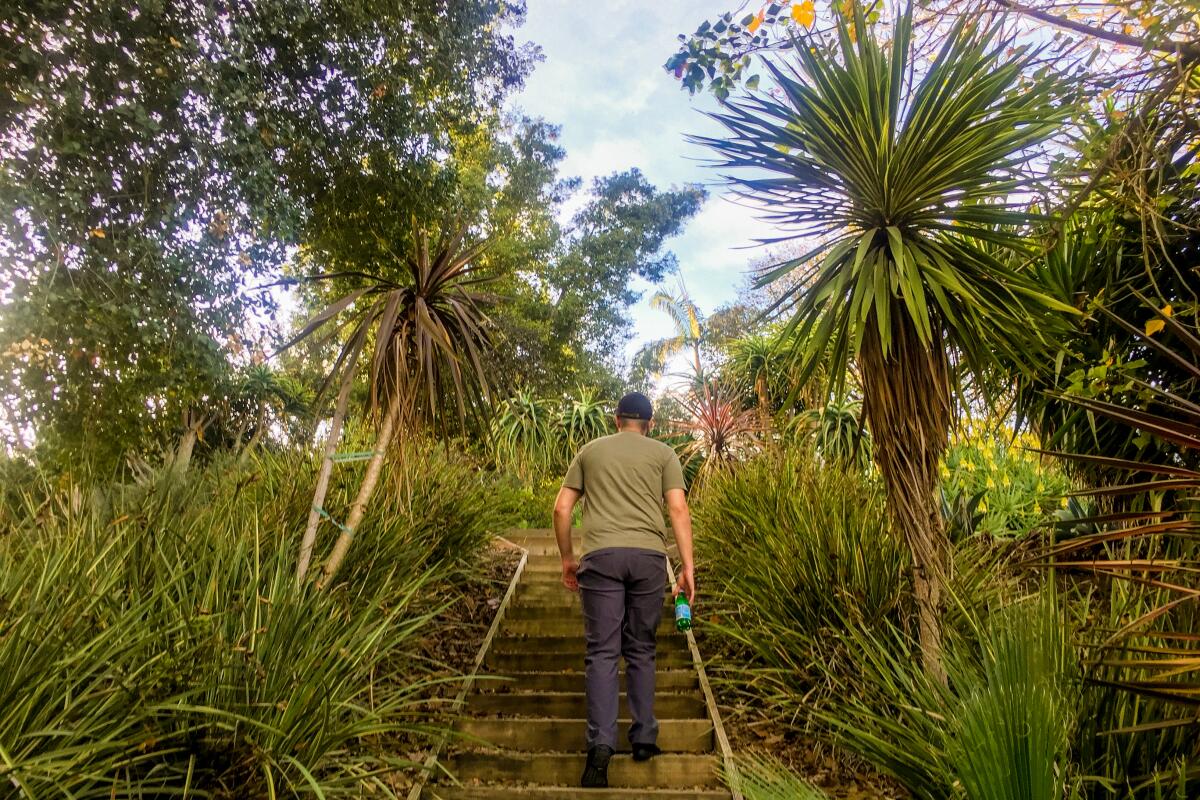
Southern California climate-appropriate plant species: 2,000. Geographical regions represented: five. Acres of land: 18.4. Discovering a free garden of solitude in the middle of bustling Orange County: priceless. The Niguel Botanical Preserve in Laguna Niguel is a treasure trove for Southern California gardeners and hikers, who can wonder at the self-proclaimed Mediterranean climate demonstration garden through four miles of trails (grab a digital map). All of the flora featured here (native and from Australia, Chile, South Africa and Baja California) can theoretically thrive in your backyard. Some favorites include grevillea, also known as the spider flower or toothbrush plant, for itsorange-bristled buds, and firewheel tree (check out the red umbel flowers) in the Australian forest, as well as the inflorescent red blooms of the tower of jewels (Echium wildpretii), a species endemic to the Canary Islands that can be found in Palm Canyon. Meander through the space to find a rose garden, butterfly sculptures and a meditative labyrinth at the high point of the botanical belt, which offers a head-on vista of Saddleback. Ultimately, it’s hard to physically get lost among the versatile vegetation, but it’s a soothing practice to let your mind wander in such a pleasant, peaceful preserve. And don’t forget to thank the volunteers who help out here.

Park in the free paved lot; no dogs allowed. Start at the Crown Valley Community Park, next to the amphitheater on this DIY ramble.
Read All Read Less
Route Details
A woman walks on the beach toward ocean-facing rocks
(Matt Pawlik)

Dana Point Headlands (The Strand), Dana Point

Dana Point Coastal hike
3.0-mile loop
Moderate
450 feet
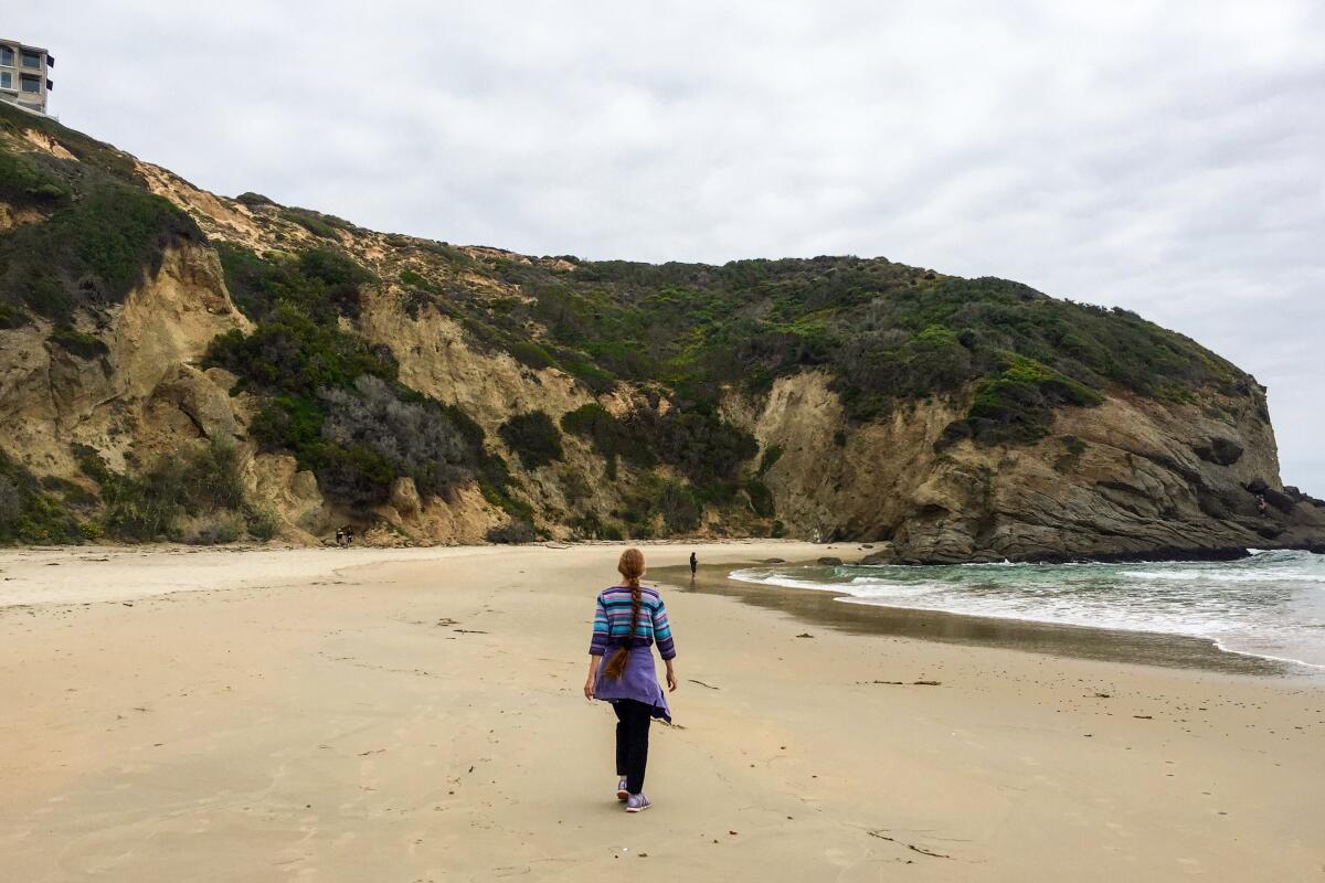
A hike and a beach day? Yes, please. Head for the Headlands in Dana Point, a protected coastal promontory surrounded by rocky bluffs and elegant homes, for a three-mile loop that starts at the cliffside Dana Point Nature Interpretive Center. Park here, grab a map and head out on the preserve’s sole trail heading west through flat-topped buckwheat, coastal sagebrush, bush sunflower and other coastal chaparral staples. Search the skies for osprey and the scrub for roadrunners, but keep your ears open for the meow-like song of the coastal California gnatcatcher as you walk along the bluffs.

You’ll eventually get deposited at some switchbacks that lead you to the sand. Here, look up for local brown pelicans. When you’re ready to leave (will you ever be?), find the leg-busting stairs at the north end of the beach (or keep heading north to Salt Creek Beach) that parallel a surprise funicular operated by the city and lead to expansive ocean vistas. When you reach Selva Road, look for the aptly named Passage des Palmiers for a paved uphill test among — you guessed it — palm trees that connect with Hilltop Conservation Park, offering fantastic views of the Dana Point Harbor. Street of the Green Lantern leads you back to the interpretive center, but you can extend your trip by heading down Cove Road to walk along the marina all the way to Doheny State Beach.

Park in the free paved lot; no dogs allowed. Start at the Dana Point Nature Interpretive Center.
Read All Read Less
Route Details
A man with a blue backpack walks on the trail with the ocean in the distance
(Matt Pawlik)

El Moro Canyon at Crystal Cove State Park, Laguna Beach

Laguna Beach Coastal Trail
9.5-mile loop
Strenuous
1,400 feet
Crystal Cove State Park may be best known for its glistening beaches, plentiful tide pools (my favorite spot to find hermit crabs dueling over coveted real estate) and the charming historic Crystal Cove cottages. While a beach stay is a must, so is a visit to the 2,400 acres of beautiful backcountry that sits just across Pacific Coast Highway. Explore it on the nine-mile Perimeter Loop, which constantly rewards hikers with expansive coastal panoramas. Grab a map at the ranger station and hit the No Dogs Trail (is that clear enough?) to start traversing the rolling hills of the park.

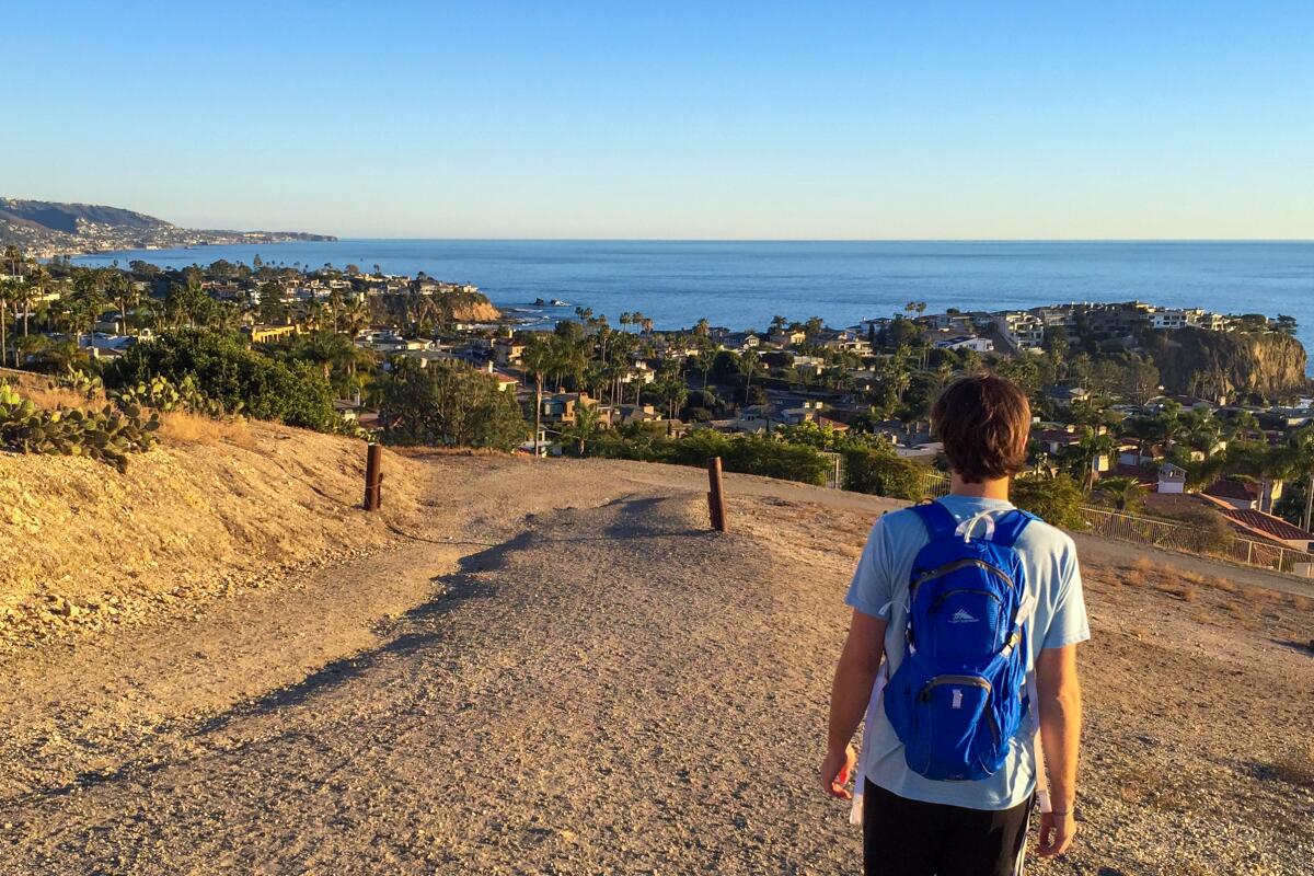
The marquee route is a three-mile stretch along Moro Ridge, the highest point in the park and thus the most epic spot for views. Soak it in (before doing a cool-down soak later) and look toward Palos Verdes Peninsula in the north and as far south as San Diego; Catalina and San Clemente islands may be prominently present too. You’ll get a chance to descend into Moro Canyon among oaks and sycamores, where you may run into overnighters. Yes, this is also a great spot to test out that new backpacking gear with three hike-in campgrounds that require advance reservations (Upper Moro, Lower Moro, Deer Canyon); check with the rangers before heading out. On your trek back toward the coast, look for bottlenose dolphins if you brought the binocs. If not, enjoy the surrounding coastal sage brush, lemonade berry and the luminous red flowers of paintbrush as you complete the loop. It doesn’t take a crystal ball to predict you’ll be back to hike this one again.

Pay to park in the paved lot; no dogs allowed. Start at the No Dogs Trail next to the ranger station.
Read All Read Less
Route Details
A couple hug while standing on a wooden walkway facing the beach
(Matt Pawlik)

San Clemente Beach Trail, San Clemente

San Clemente Coastal Trail
4.6-mile out-and-back
Moderate
50 feet (plus staircase workouts)
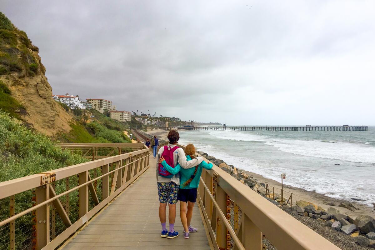
A trip to O.C. (FYI, locals don’t use “the”) is not complete without a stop at a picturesque coastal town, ripe with local cafes and unique boutiques propped up against pristine blankets of sand and a charming pier jutting over the Pacific. Enter the San Clemente Beach Trail, a 4.5-mile dirt path that will more than satisfy your beachcombing needs. The route heads south from North Beach and parallels the train tracks (which the famous Pacific Surfliner graces), briefly becoming a raised boardwalk to protect vernal pools. Along the way, feel free to use a pedestrian rail crossing to give your feet a sandy respite or, if you are looking for a workout, you can high-step a number of staircases that lead to the sea cliffs. After a mile, you’ll reach the San Clemente Pier, the perfect spot to stop for a latte (Bear Coast Coffee) or a detour visit to the Casa Romantica Cultural Center and Gardens ($5), which was once home to the founder of the city. The trail continues past dense blooms of honeysuckle and the city’s official flower, bougainvillea, until terminating at the sandstone cliffs of Calafia State Beach. You can head back here or continue further to San Clemente State Beach for a blufftop picnic spot and campground, if you are finding it particularly hard to leave (I get it!). Try this walk at sunset.

Park in the paved lot ($1.50 an hour) or on the street. Dogs are allowed on the trail but not on the beach. Start at North Beach, on the south end of the San Clemente Metrolink station parking lot.
Read All Read Less
Route Details
Advertisement
A man looks out on the watery fingers of the bay
(Matt Pawlik)

Upper Newport Bay Preserve, Newport Beach

Newport Beach Coastal Trail
8.0-mile out-and-back
Moderate
400 feet
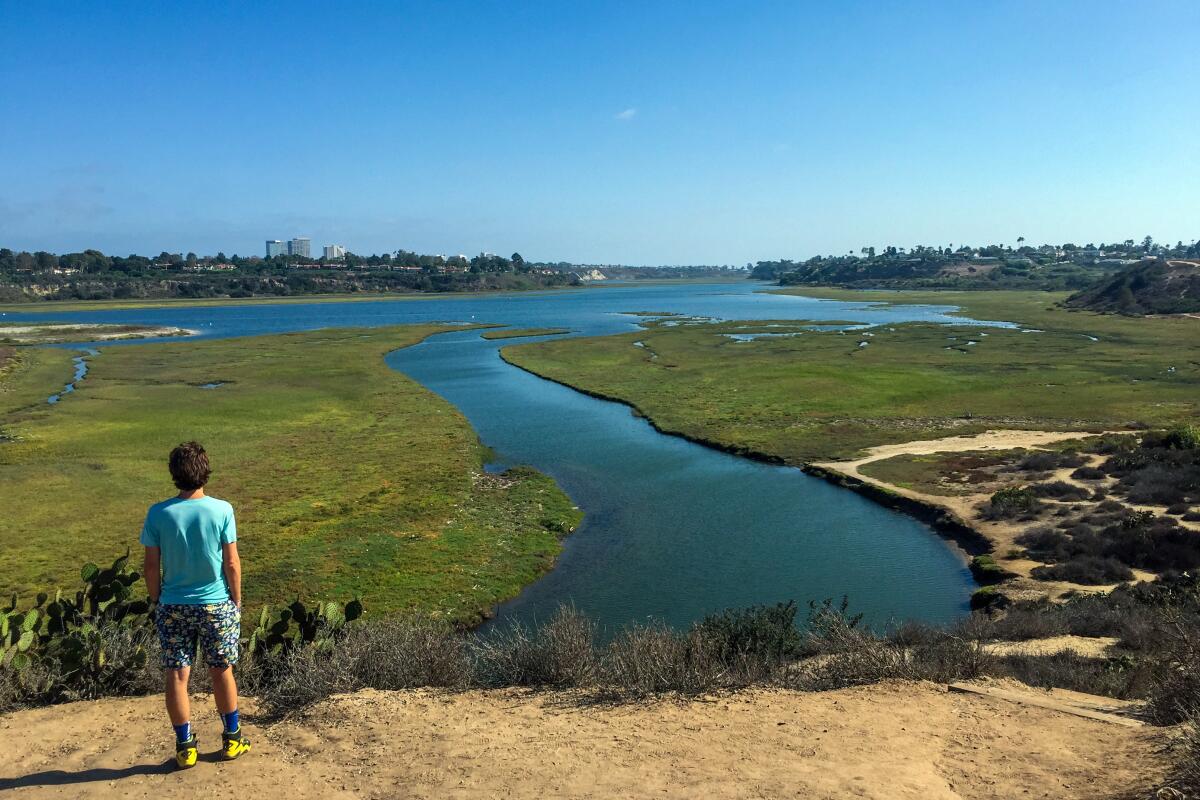
Newport Beach is where you’ll find some of the biggest of things in O.C.: homes, boats, egos (oh, just kidding, Newportians) and, perhaps more surprisingly, the largest estuary in the area. The Upper Newport Bay Nature Preserve, a coastal wetland formed from the intersection of San Diego Creek freshwater and the Pacific, is best enjoyed on an eight-mile out-and-back hike that deposits you at the ocean.

Start at the Peter and Mary Muth Interpretive Center, which boasts a rooftop observation deck for breathtaking views of the entire bay. Search the skies for some of the 200-plus species that call the estuary home (some 35,000 can be found at any one time during winter migration), from great blue herons to peregrine falcons to the endangered California least tern. Throughout the trek, there are spur trails that take you through coastal sage scrub to reach eye level with the lagoon. Here, look for stingrays in the water and saltmarsh bird’s beak, an endangered indigenous herb. After the trail reaches the park boundary, you may continue on streets (Irvine Avenue to Dover Drive to Pacific Coast Highway) — passing Castaways Park for more sweeping marine views — to reach the Newport coast to grab a bite and check out some yachts along the bay.

Park in the dirt lot; dog-friendly. Start on the Bayview Trail at the interpretive center.
Read All Read Less
Route Details
A circular maze made of green hedges
(Matt Pawlik)

Oso Viejo Community Park, Mission Viejo

Mission Viejo Urban Trail
2.25-mile loop
Easy
100 feet
Short, sweet and lovely, the Oso Creek Trail meanders through Oso Viejo Community Park in Mission Viejo. After passing well-manicured grassy fields, convenient public workout machines and festive murals, the trail descends into the ravine and crosses the creek. The peaceful riparian corridor is shaded by a prominent grove of coast live oaks and California sycamores.

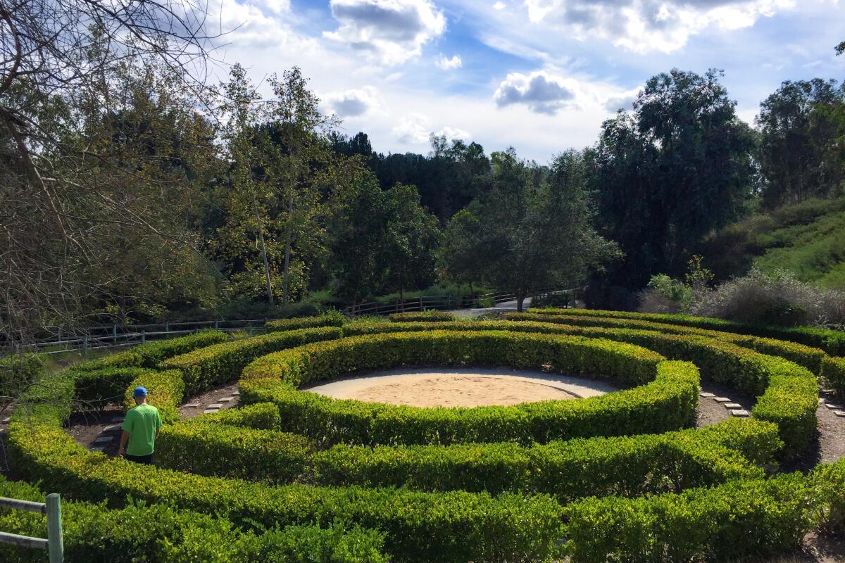
You’ll constantly find nature and art blended together on this hike, including a community-built peace obelisk honoring 9/11 victims. You will also find an awesome Victorian-influenced hedge maze that has stepping stones endearingly painted by local children. After checking out a butterfly garden and another bridge crossing, look for a beautiful, colorful mosaic path flanked by stunning columns made from recycled glass. After climbing out of the mini canyon, don’t miss the playground that features adorable bear statues (Oso Viejo, after all, means “old bear” in Spanish) before heading back to the starting point. Or do the loop all over again.

Park in a paved lot; dog-friendly. Start at Oso Viejo Community Park.
Read All Read Less
Route Details
A woman looks up at a red-rock landscape at Whiting Ranch Wilderness Park
(Matt Pawlik)

Whiting Ranch Wilderness Park, Trabuco Canyon

Lake Forest Urban Trail
4.25-mile out-and-back
Moderate
500 feet
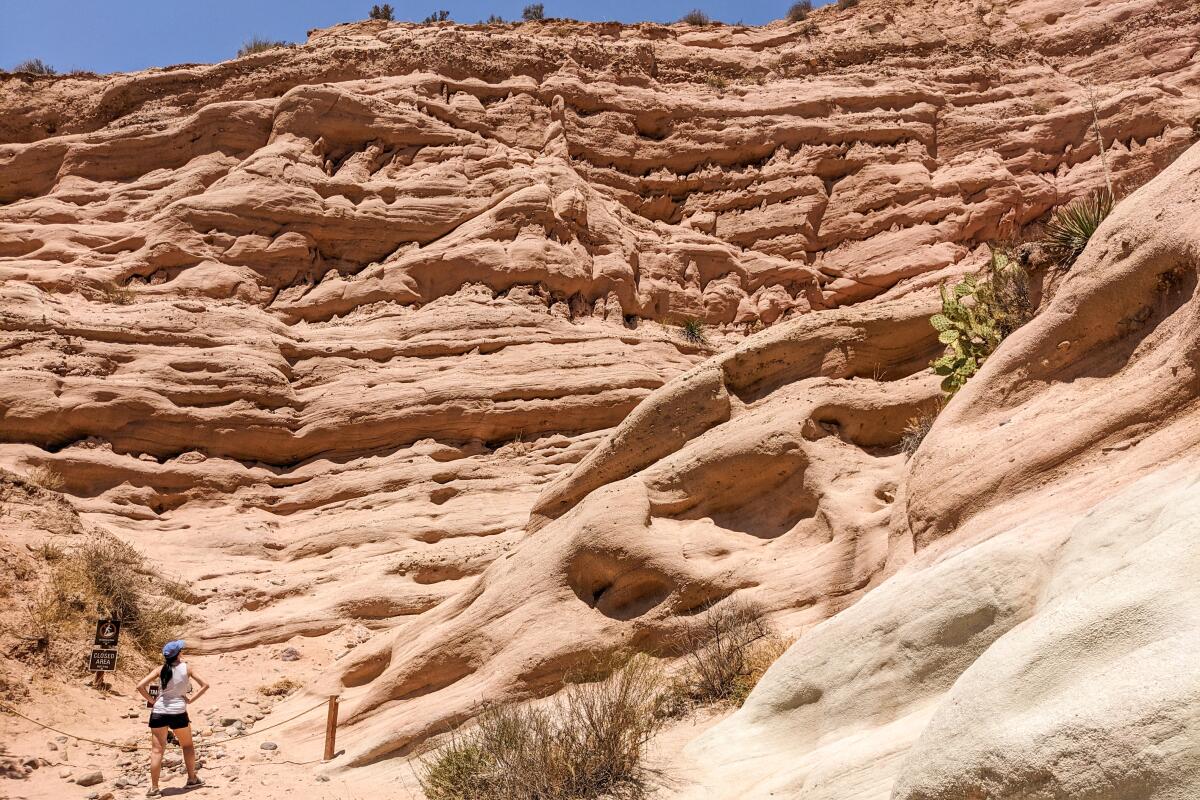
Crave a quick getaway? Take a trip to the American Southwest without leaving SoCal. Whiting Ranch Wilderness Park is home to a stunning red rock canyon reminiscent of those found in Sedona in Arizona or Zion National Park in Utah. To get to Orange County’s backyard badlands, hop onto Borrego Canyon Trail at the park’s entrance plaza for a 4.25-mile out-and-back adventure through a small portion of the 2,500-acre park (grab a map to check out more of the 23 trails).

The wide dirt path meanders through heavily shaded riparian and oak woodland canyon for most of the journey, with multiple stream crossings over Borrego, Serrano and Aliso creeks. These provide ample opportunities for wildlife viewing, from mule deer to striped racer snakes to acorn woodpeckers. At the intersection with the Mustard Loop, find the Red Rock Canyon marker just past a large wooden trail board. As you head north on a sandy wash, the red stone pinnacles (siltstone, sandstone and mudstone, to be exact) come into view, looming above the chaparral-dotted canyon. In just half a mile, you’ll find yourself at the base of the awe-inspiring geological gems, which were sculpted by water and wind over millions of years. Though interpretive signs stop you from climbing the vibrant cliffs, you can enjoy them from multiple vantage points, which is more than enough to feel worlds away from the suburbia that surrounds you. Yep, it’ll rock your world.

Park in the paved lot ($3); no dogs allowed. Start at the Borrego Canyon Trail off Portola Parkway.
Read All Read Less
Route Details
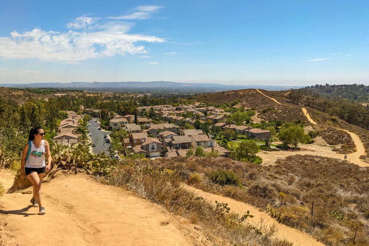
A woman hikes a trail in an urban setting with houses
Peters Canyon Regional Park
(Matt Pawlik)

Peters Canyon Regional Park, Orange

Orange Urban Trail
6.0-mile loop
Moderate
650 feet
“Man is not above nature, but in nature.” Witness German zoologist Ernst Haeckel’s motto in its truest form at 340-acre Peters Canyon Regional Park in Orange, where four natural habitats and two man-made reservoirs provide a home for an abundance of wildlife.

For the most comprehensive tour of the green space’s beauty, start a six-mile loop at the Lake View Trail that circles the 55-acre Upper Peters Canyon Reservoir. The trail winds through riparian and freshwater marsh environments dominated by sycamores, cottonwood and black willows. The lake, once used to irrigate Irvine Ranch citrus groves, is now home to a variety of migrating waterfowl, such as snowy egrets, which often hunt along the shore. At the southeastern corner of the reservoir, you will connect with your second loop, the East Ridge View Trail. Search the skies for red-tailed and Cooper’s hawks (or the shrubs for rufous-crowned sparrows) as you climb to the park’s high point.

Here, find a well-placed bench to enjoy stunning 360-degree views of Orange County that stretch from the coast to the San Gabriels. After a roller-coaster descent, you will eventually connect with the Peters Canyon Trail at the lower reservoir, which takes you through coastal sage scrub and grassland communities back to the Lake View Trailhead.

Park in the dirt lot ($3); dog-friendly. Start at the Lake View Trail next to the ranger station.
Read All Read Less
Route Details
Advertisement