New maps show spread and impact of drought on California forests
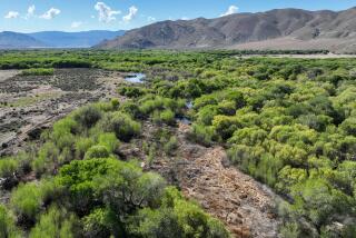
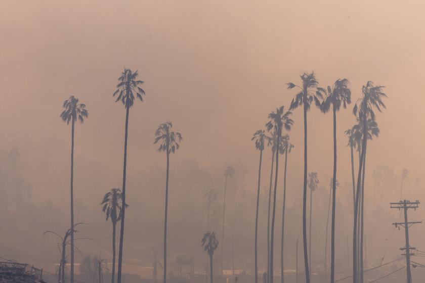
California’s forests have already lost millions of trees in recent years due to rising temperatures, the drought and a plague of bark beetle infestations.
But if the drought persists, millions of more trees throughout the state could die, according to a study published this week in Proceedings of the National Academy of Sciences.
The researchers used an airplane, remote sensing technology and satellite imagery to produce the first maps that show how much water the state’s trees have lost. Virtually every forest has been affected in some way, said study leader Greg Asner, an ecologist at the Carnegie Institution for Science at Stanford University.
Asner said he was struck by the “sheer degree of loss and mortality” in Southern California forests as he flew over the depleted trees.
“There was a lot of silence in the lab in the back of the plane because it was just so bad to see,” he said.
For two weeks in August, the researchers flew a plane called the Carnegie Airborne Observatory over forests throughout the state and aimed a laser-guided sensor at the trees to measure the water content of their canopies.
The sensor detects biologically important elements and molecules, such as water. By focusing on the water content of the canopies and marrying that data with 3-D forest imaging, the researchers were able to estimate the water content of 4.4 million acres of trees. Satellite data from 2011, 2013 and 2014 helped them model how the drought has progressed.
Measuring canopy water, the amount of liquid water in a tree’s leaves, allows researchers to gauge the tree’s overall health and determine how stressed it is by drought. It can also be used to predict a tree’s flammability.
Asner and his team found that 58 million trees, covering over 2.4 million acres, had lost more than 30% of their canopy water content since 2011 -- a threshold the researchers consider severely stressed.
Their analysis also showed how the forest has changed since the start of one of the worst droughts on record.
From 2011 to 2013, 9.9 million acres of lower-elevation forests and woodlands in the Central Valley showed a measurable loss of water. In 2014, the losses spread to lowland and foothill forests across more than 15 million acres, including the Santa Cruz Mountains. Up to 507 million large trees were affected.
By 2015, 565 million large trees over 16.3 million acres felt the impact of drought in some way, including those at high elevations.
All told, the researchers found 888 million large trees saw measurable decreases in water content in 26.2 million acres of forest.
Zooming into the maps lets you view “the good, bad and the ugly” of the drought, Asner said.
“So much of the forest underwent a loss of canopy water,” he said. “Within that there are lots of pockets of deeply stressed landscapes -- not just individual trees, but entire landscapes of trees.”
The drought hasn’t hit all forests -- or even all the trees within a forest -- evenly. On the maps, blue shows relatively high water content and red-orange shows severely stressed trees. The maps show some blue forests pocked with orange and yellow trees, while others appear as a sea of dark red with patches of blue.
The maps exclude burned areas to avoid conflating water loss with fire.
And it’s not just about rain or snow: The species of tree and the local terrain play a part in how drought-stressed the tree becomes. Rising temperatures and bark beetle infestations also affect the tree’s water content.
“The natural mosaic of our forest is coming together to create this result,” Asner said.
In May, the U.S. Forest Service estimated more than 12 million trees in California had died. Asner says his results go a step beyond that.
By measuring how drought-stressed a tree has become, scientists can make a prognosis of its likelihood of survival. That information is key for forest and resource managers and policymakers.
“That’s where the rubber meets the road,” Asner said. “It’s about identifying at-risk landscapes for certain kinds of management.”
Since the beginning of the study, Asner has worked with the California Environmental Protection Agency and the California Department of Forestry and Fire Protection to put the new data to use, sharing early versions of the maps and instructions on how to use them.
Tasked by Gov. Jerry Brown to remove dead trees that could fuel dangerous wildfires, Cal Fire can use the maps to identify areas most likely to burn. Knowing where the high-risk areas are can help officials decide where to try prescribed burning and where to try other forms of fire suppression, such as removing potential fuel like dry brush.
Asner also hopes the data can be used by the logging industry to prevent “collateral damage.” During a drought, cutting down trees can dry up more of the forest’s canopy by letting more sunlight through to the remaining trees.
A more telling measure of forest health will come in August, when Asner and his team will take to the skies again.
“There’s this huge pool of trees that’s teetering on death,” he said. “The only way to know [what will happen] in the end is to measure again and see if they bounced back. And with El Niño, who knows?”
El Niño storms could provide relief for some pockets, but some climatologists tell Asner that a single rainy season won’t be enough to recharge the forests.
------------
For the record, 1:39 p.m. Dec. 31: An earlier version of this story miscalculated conversions from metric hectares to acres. This story has been updated to reflect the correct numbers.
--------------
Follow me on Twitter @seangreene89
MORE SCIENCE NEWS
Women are giving up on in vitro fertilization too soon, study says
What constitutes brain death? Depends on which hospital you’re in, study finds
More than 90% of people who overdosed on prescription painkillers can still get refills, study says


