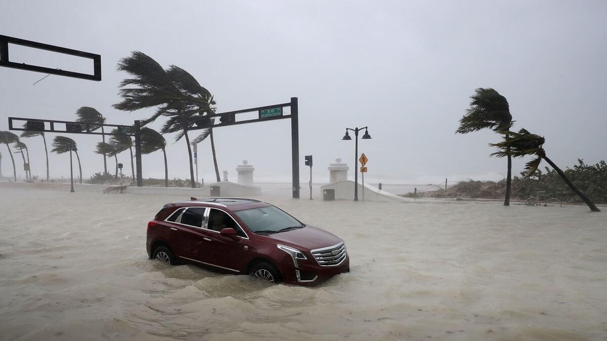
Storm surge: What happens when the sea rises up during a hurricane?

Reporting from ORLANDO, Fla. — Hurricanes are often defined and categorized by their wind speed, but the real danger comes not from furious winds but from the sudden, often fatal rise of the sea.
There is more loss of life through drowning than any other of the various deadly hazards posed by these tropical storms.
Storm surge is basically the wind blowing water toward the shore at a rate at which it overwhelms levees and seawalls designed to protect the shore. If the area close to shore is shallow, as it is in Florida, the water builds quickly and at some point overwhelms the surrounding coastal area, because it has no place else to go.
There are other factors besides geography that can make this dangerous. The size of the storm, barometric pressure and the direction the storm is coming from are factors in causing the sea to surge.
Large storms, such as Irma, are bad because water can start to build well in advance of the storm. It’s as if the storm brings with it its own extra supply of water. This phenomenon is sometimes called a “bubble” or “bulge” of water.
Live Updates: Hurricane Irma brings flooding up through southwest Florida »
One way of thinking about it is as a tidal wave caused by wind, rather than by an earthquake or volcanic eruption.
Hurricane Katrina in 2005 was only a Category 3 storm, but it was immense in size. With a storm surge of 28 feet, combined with a broken levee, the city of New Orleans was quickly underwater. About 1,800 people lost their lives in the storm — the majority from drowning.
Most coastal communities on the Atlantic Ocean and Gulf of Mexico are no more than 10 feet above sea level, so the ability to take a big storm surge is not great. Water has only one place to go when it hits land or concrete, and that is up.
Hurricanes are cyclonic, with winds moving counterclockwise in the Northern Hemisphere. If you have a storm heading north and you are on the northeast side of the eye of the hurricane, the wind is pushing water toward the shore in advance of the storm. Once you are on the southern side of the storm, the water will recede as it is being pulled away from shore, and rather quickly it will return to normal.
It’s why the real danger for the people of Naples, Fort Myers and Tampa, on the west side of the state and the storm, will come after the eye has passed. As the storm approached, water was being drawn from the shore, creating an illusion of a very low tide. As soon as the eye passes and the winds switch, the water that had receded will be blown back, as well as the reserve of water that had built up.
The storm surge in the Naples-Fort Myers area was expected to be 10 to 12 feet.
The other problem with a storm surge is that they are fast: A 10-foot storm surge at sea level can submerge the first floor of a building in a matter of minutes.
ALSO
Hurricane Irma weakens to a Category 2 storm as eye passes over Naples
Irma brings chaos to Florida: What we know so far
Fires, droughts and hurricanes: What’s the link between climate change and natural disasters?
More to Read
Sign up for Essential California
The most important California stories and recommendations in your inbox every morning.
You may occasionally receive promotional content from the Los Angeles Times.


