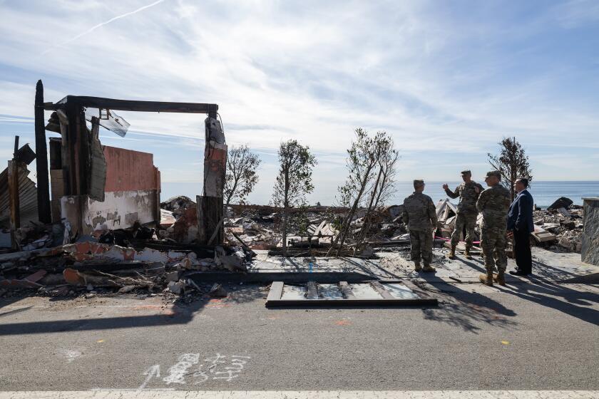
Biggest storm of the season moves into California, bringing warnings of blizzards and mudslides
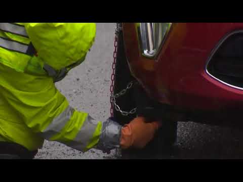
The storm was expected to significantly improve California’s anemic snowpack, which is a key source of water for a state that edged back into drought due to the dry winter. Forecasters were predicting up to 7 feet of snow in the Sierra Nevada, with
- Share via
Reporting from MONTECITO, Calif. — After enduring one of its driest winters on record, California was being hit Friday by a frigid storm moving in from the Gulf of Alaska that triggered blizzard and avalanche warnings in the Sierra Nevada and concerns about more mudslides and flash-flooding in the southern part of the state.
“It’s the biggest storm of the season,” said Jim Mathews, a meteorologist with the National Weather Service in Sacramento. “Of course, February was a dud of a month, so March is coming in like a roaring lion.”
The storm was expected to significantly improve California’s anemic snowpack, which is a key source of water for a state that edged back into drought due to the dry winter. Forecasters were predicting up to 7 feet of snow in the Sierra Nevada, with up to 10 feet possible in the highest elevations in the mountain range.
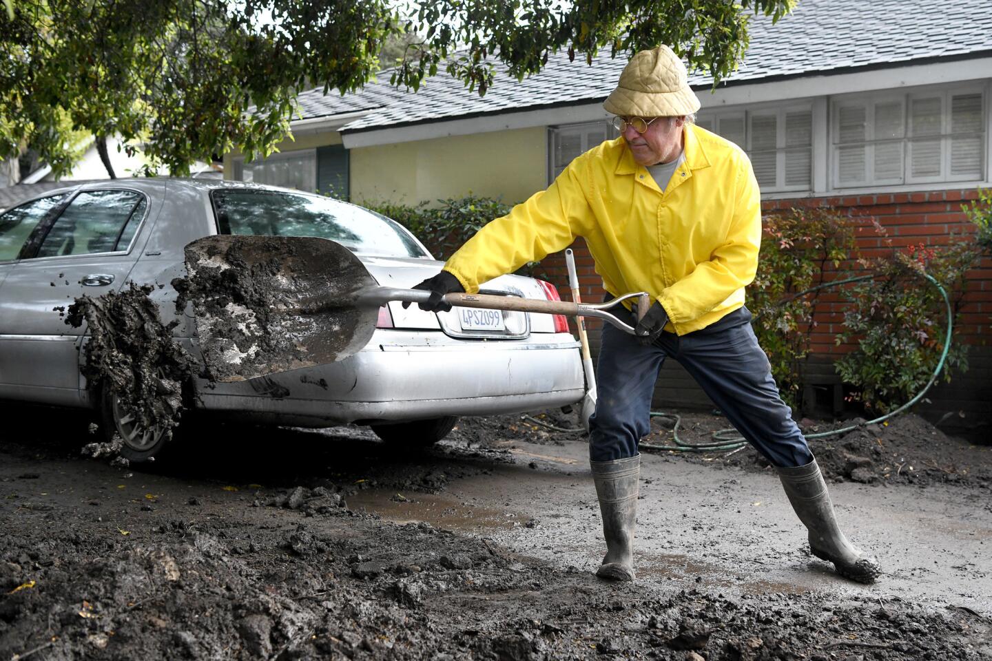
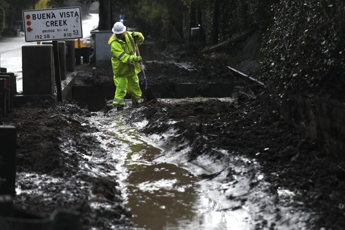
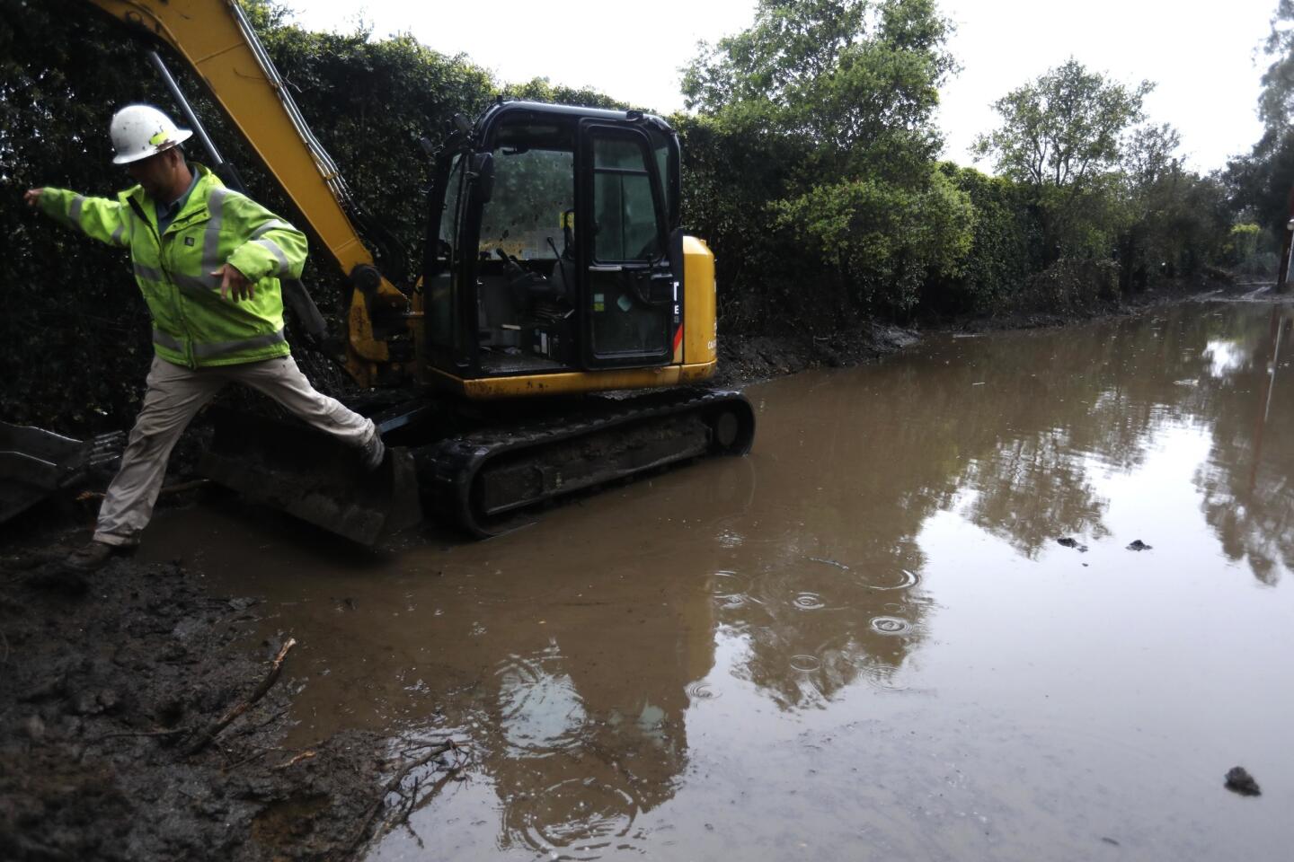
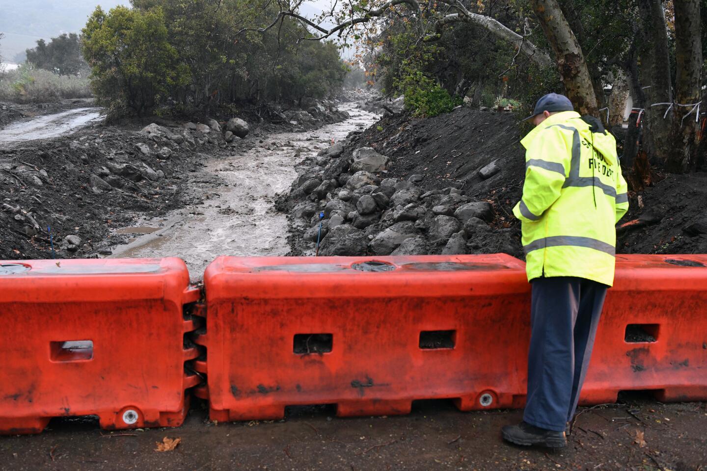
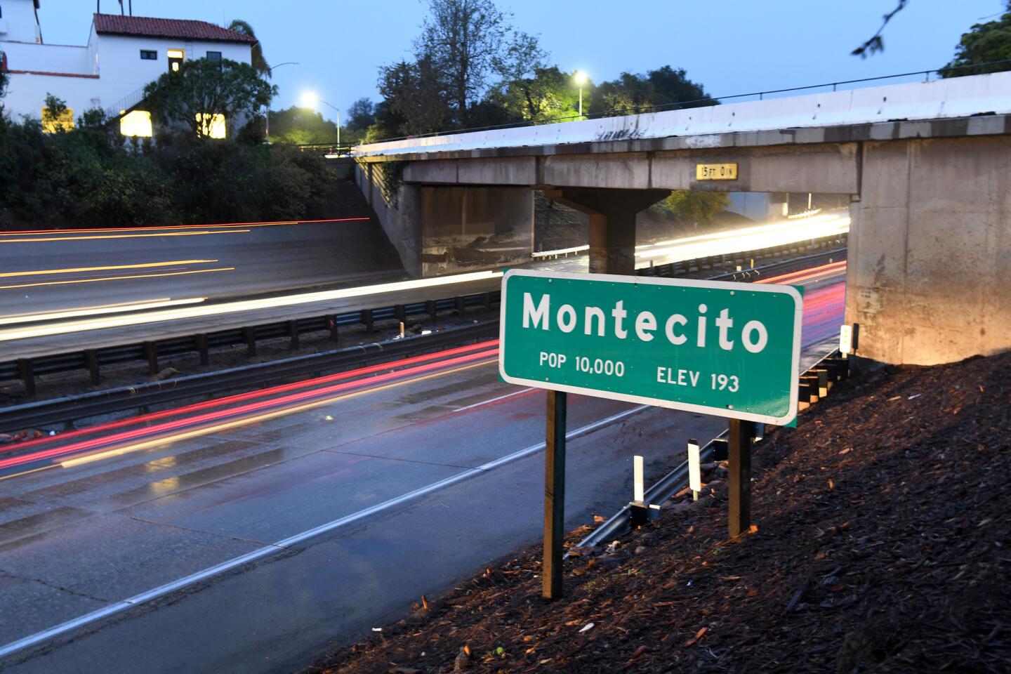
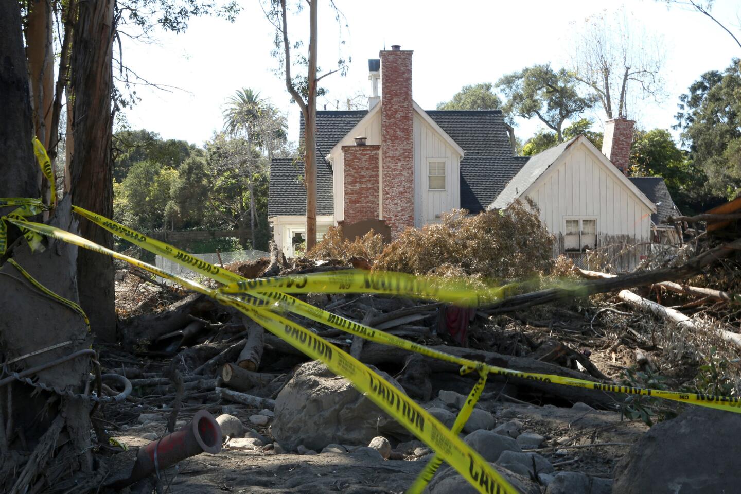
But to the south, predictions of heavy rain brought fears of more flooding in areas hit by last December’s firestorms, particularly in Montecito, where mudslides in January killed more than 20 people.
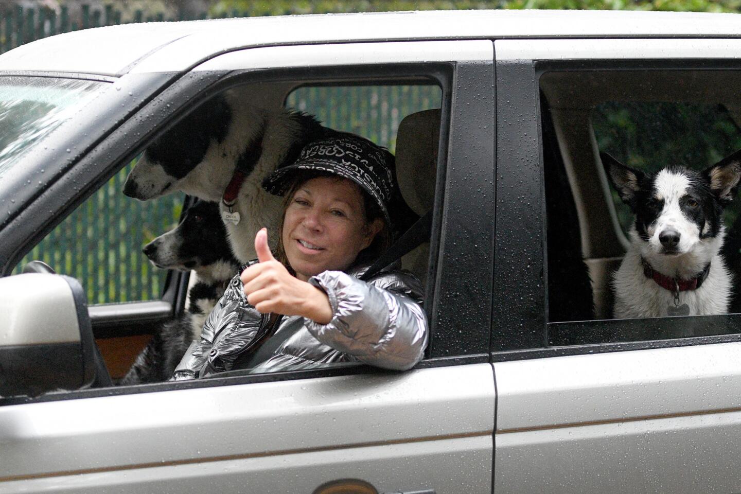
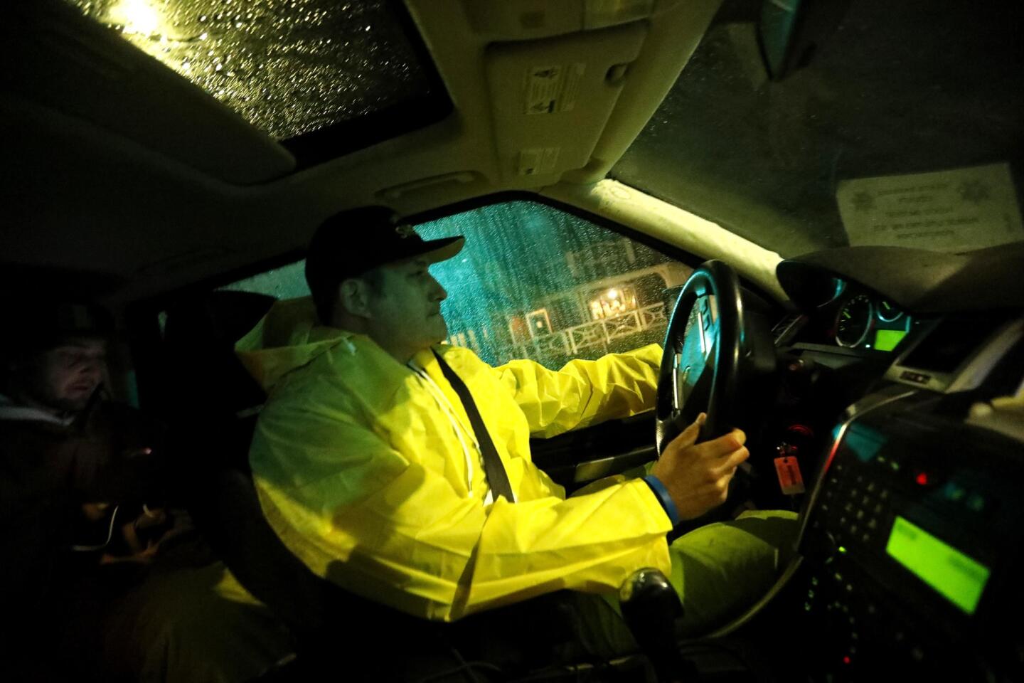
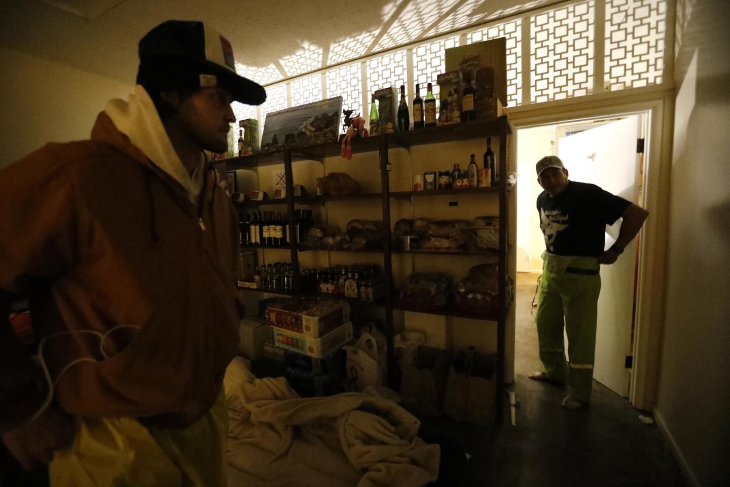
Around 4 a.m. Patrick Braid, owner of the Village Cheese and Wine store in Montecito, put on his boots and raincoat and hopped in his Range Rover as rain started to pour down. He wanted to head out to areas most at risk of mud flow to check on his neighbors and help people who didn’t evacuate. “Let’s do this!” he shouted as he closed the door to his shop.
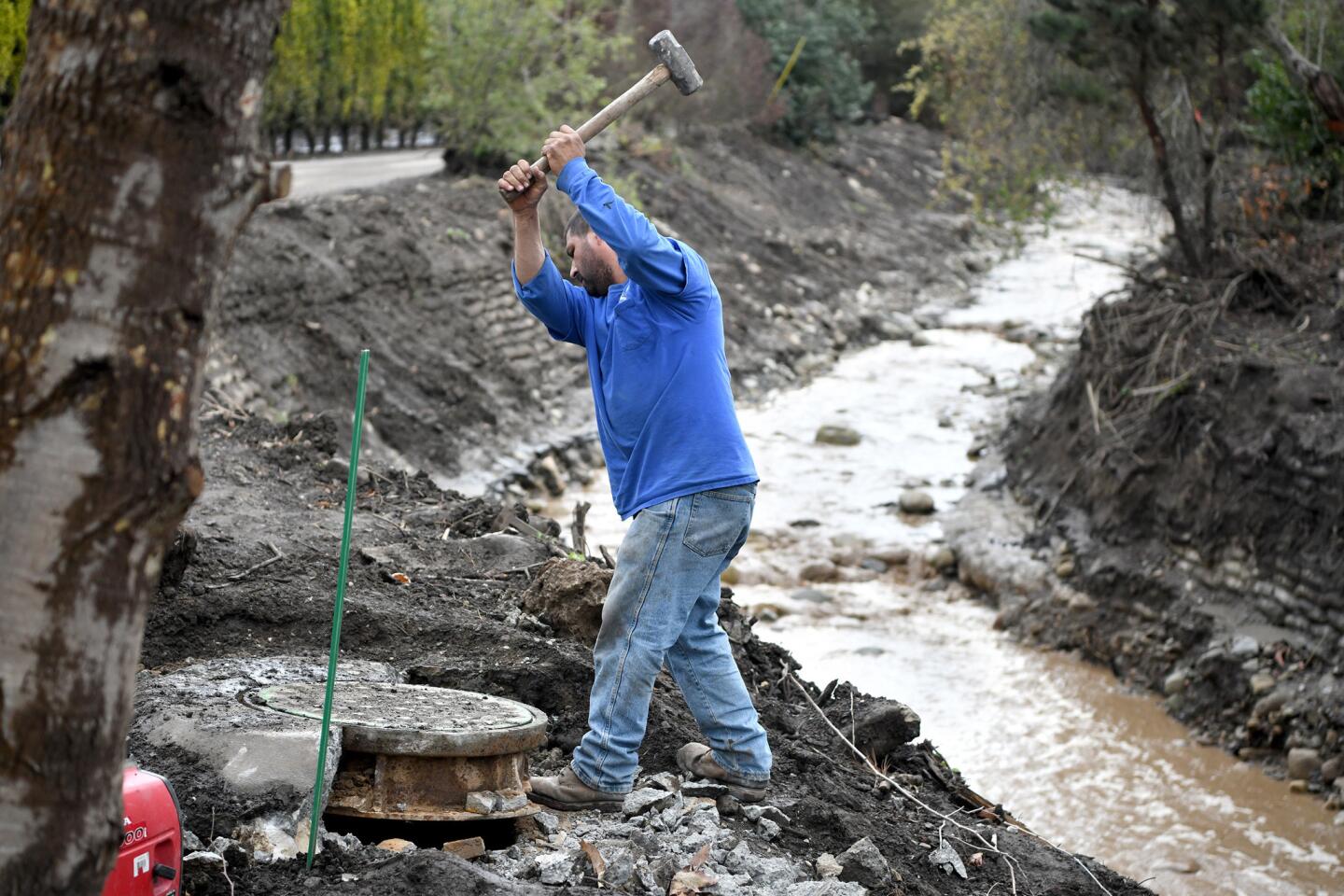
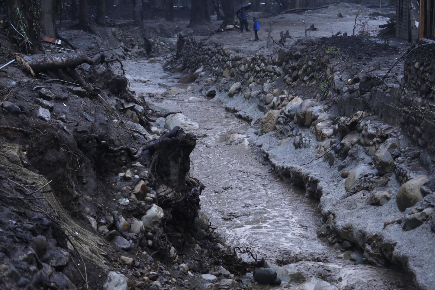
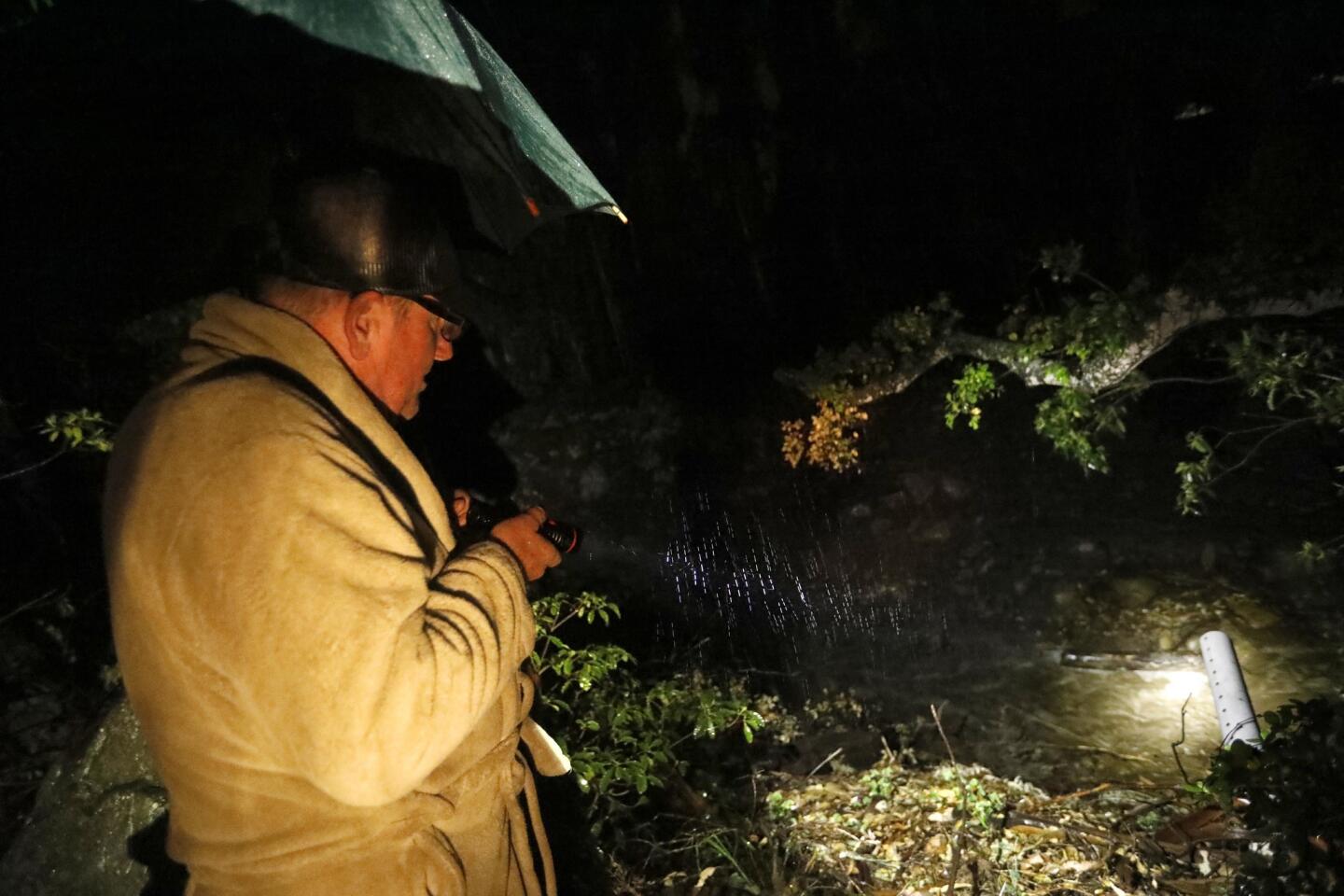
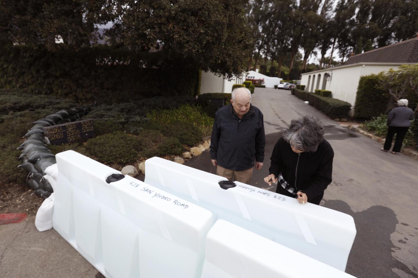
Elsewhere, Michael Clark donned a beige bathrobe and rain boots as he observed the water flowing down small creeks in his backyard on San Ysidro Road. As light rain poured down on him, he bent his head over a small stream. The sound of the water rushing below him was loud, but Clark didn’t seem concerned.
“The way the water is flowing is nothing like January,” he said.
Clark said he did not evacuate because he wanted to protect his property. “I went to bed at 8 p.m. and got up around 12 a.m. to check on the rain,” he said. “Nobody will take care of my place like I can.”
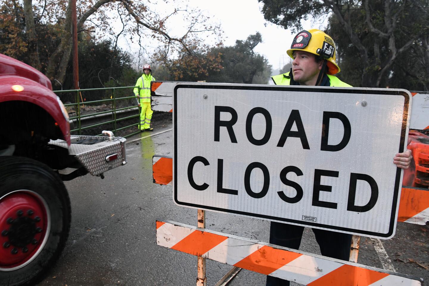
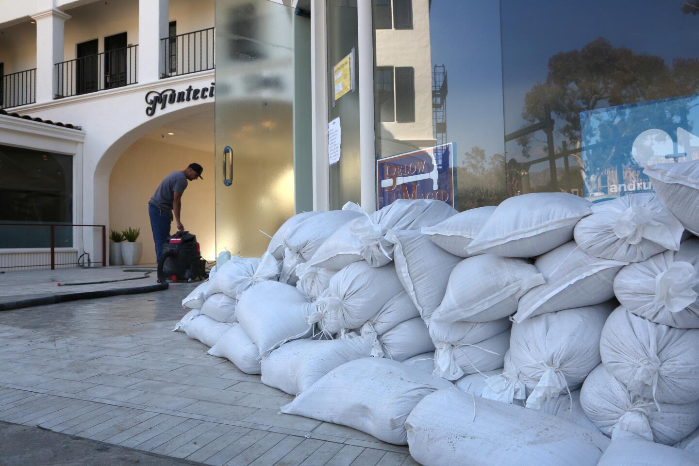
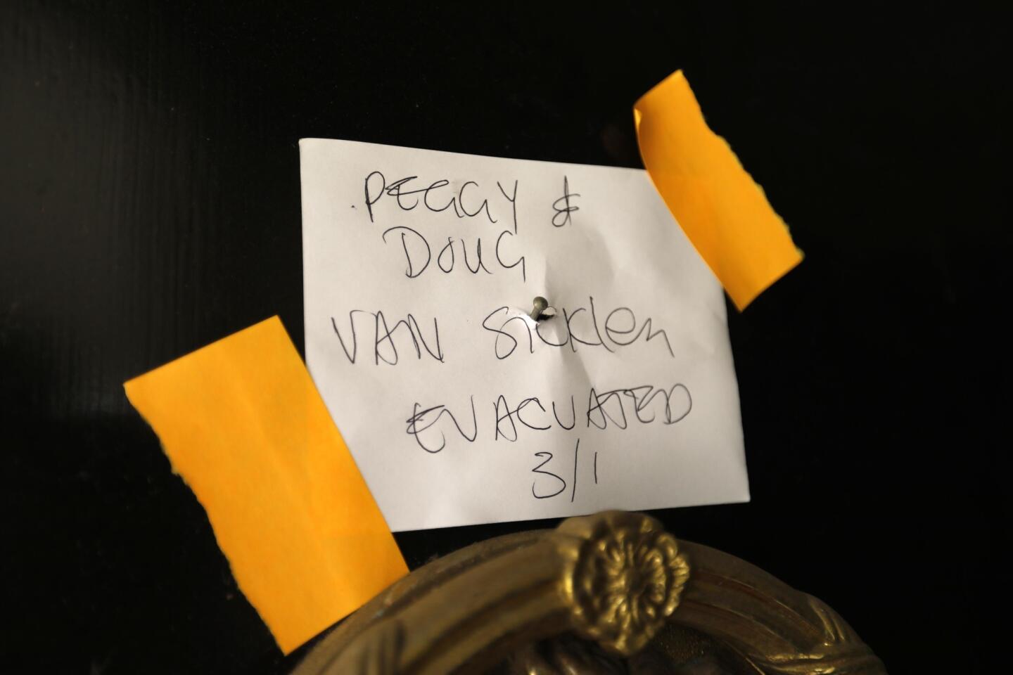
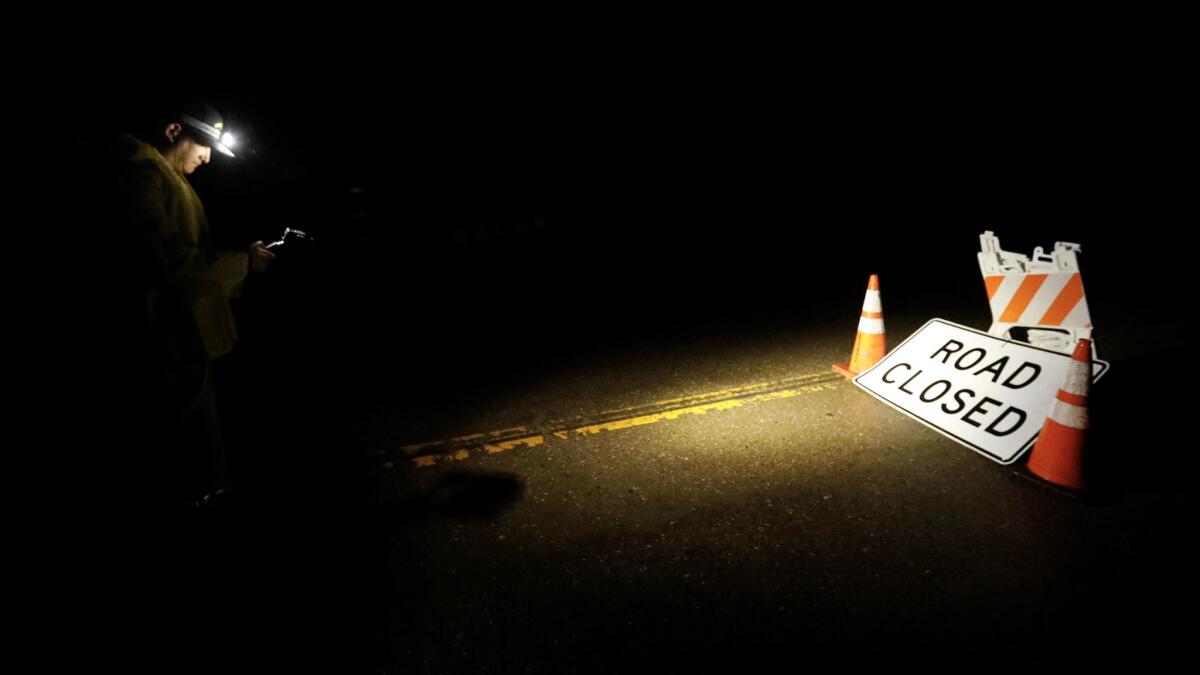
Santa Barbara County authorities ordered mandatory evacuations Thursday for residents in Montecito and other fire-scarred areas, saying the storm could again trigger dangerous flash floods and mud and debris flows.
The Santa Barbara County Sheriff’s Office issued the evacuation order, effective at noon, for individuals near the Thomas, Sherpa and Whittier fire burn areas. The order affects the coastal communities of Goleta, Santa Barbara, Montecito, Summerland and Carpinteria.
“Due to the size and breadth of the evacuation area, not all residents will be contacted in person,” Santa Barbara County Sheriff Bill Brown said in a statement. He cautioned residents in affected areas not to wait for deputies before deciding to evacuate. “Everyone should begin the evacuation process now,” the statement said.
The evacuation order comes barely two months after a Jan. 9 storm poured more than half an inch of rain on Montecito in just five minutes, triggering burn area mudslides that destroyed homes and killed at least 21 people.
Brown estimated that 25,000 to 30,000 people would be affected by the mandatory evacuation notice.
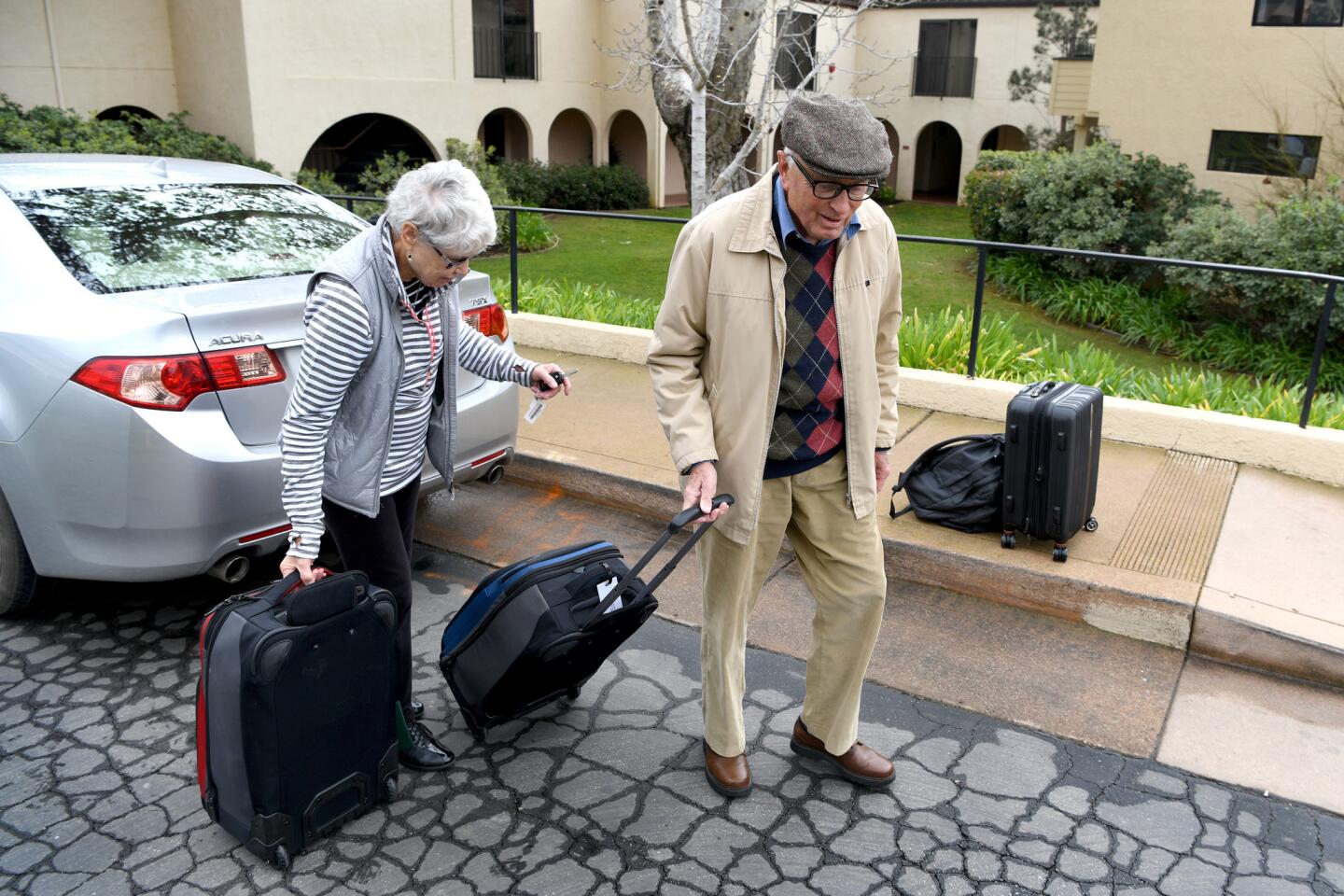
Montecito resident Laura Bautista and her family decided to leave, hours before the mandatory evacuations were ordered. Suitcases, pillows and clothes were piled in the backseat of her Honda, and next to her sat her 10-year-old son, Jesus Bautista. Her daughter was in a car in front of her.
“We feel nervous and stressed,” Bautista said in her car. The family’s home was damaged by mud and debris during January’s mudslide. She said they’ve put sandbags around their house but are concerned what shape their house will be in when they return.
Similarly, Ingrid McCann said she was fearful of a repeat of January’s devastation. She and her husband opted not to evacuate then, and now regret that decision.
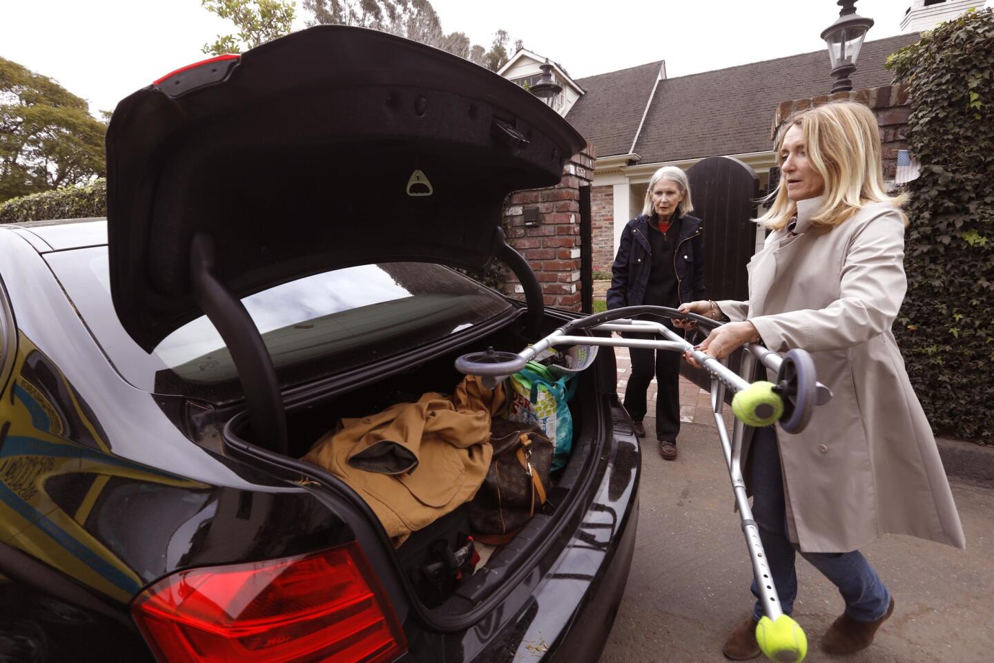
“We were traumatized in January. … We are going to get out of here soon,” McCann said as she loaded clothes and other belongings into her car.
Not everyone planned to leave.
Even though Ruth Pedersen lives in a mandatory evacuation zone just a few streets from Romero Canyon Creek, the 93-year-old said she planned to stay at home with her cat.
“I feel comfortable at home, and I don’t think anything will happen,” Pedersen told a reporter Thursday afternoon. “I didn’t evacuate in January, and I was fine.”
As she spoke, her son, John Pedersen, piled sandbags near the front lawn. “It’s a calculated risk,” he said.
Forecasters said the heaviest rainfall is expected before dawn Friday. An inch of rain is possible, they said, with up 3 inches in mountain areas.
The main cold front is expected to move out of the region by Friday, but showers are expected to continue off and on through Saturday.
It’s too early to say whether the storm portends a March miracle capable of pulling California’s snowpack out of the doldrums, said Michael Anderson, the state climatologist with the Department of Water Resources.
The snowpack in the Sierra Nevada had a snow-water equivalent of 24% of average on Thursday, state officials said. Sierra snowpack traditionally makes up one-third of the state’s water supply.
But thanks to the historically wet winter of 2016, the picture isn’t as dire as it could be after the last several months of dry conditions, Anderson said.
“In terms of having a base flow coming out of the Sierra into the larger reservoirs, it still seems to be holding up despite the dry winter,” he said.
When the current storm passes, the snowpack could see an increase of 25%, he said.
By mid-morning Thursday, the Boreal Mountain Ski Resort near Donner Lake had received a foot of snow. The Squaw Valley Alpine Meadows Resort near Lake Tahoe had received 7 inches, and Bear Valley between Lake Tahoe and Yosemite had received 4 inches.
The fresh powder was a welcome sight for Kristyn Lucero in Tahoe City, who was cleaning snow off her car by 4:15 a.m. on Thursday.
By typical standards, the snow hitting Tahoe City and much of the Sierra Nevada is par for the course this time of the year. But meteorologists have noted that California’s rain and snowfall have been alarmingly missing for much of the last five months — the bulk of the state’s rain season.
“It’s finally back again; I know a lot of people are excited about it,” said Lucero, who works behind the counter at Tahoe House Bakery & Gourmet. “Cinnamon rolls were popular today, and a lot of warm drinks are going out the door.”
Etehad reported from Montecito, Serna and Branson-Potts from Los Angeles.
[email protected] | Twitter @melissaetehad
[email protected] | Twitter @JosephSerna
[email protected] | Twitter @haileybranson
UPDATES:
4:50 a.m.: This article has been updated with a additional details quote from Montecito.
4:15 a.m.: This article has been updated with a additional details quote from Montecito.
This article was originally published at 2 a.m.
More to Read
Sign up for Essential California
The most important California stories and recommendations in your inbox every morning.
You may occasionally receive promotional content from the Los Angeles Times.
