L.A. area — like much of California — has little to look forward to in newest storm

- Share via
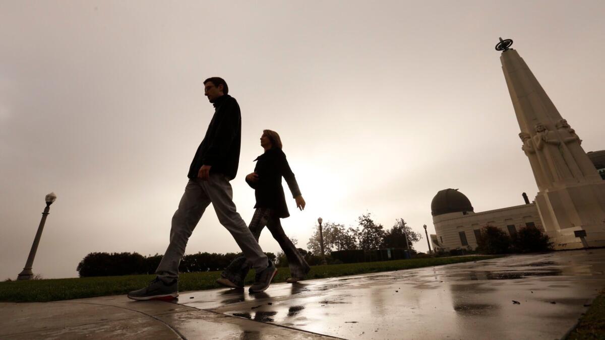
Scattered showers are likely in Los Angeles through Wednesday, but the light rains won’t do much to alleviate a dry start to the year, the National Weather Service said.
Between a quarter- to a half-inch of rain is expected to fall in the region between Monday and Wednesday and forecasters predict there will be even less rain than that in Northern California, where places such as San Francisco, San Jose and Santa Rosa all have observed the warmest start to the year on record.
“Lucky areas may get more than a half-inch,” said David Sweet, meteorologist with the National Weather Service in Oxnard. “That isn’t going to amount to a hill of beans as far as relieving our precipitation deficit. The impact, or lack thereof, is zero.”
The weather service’s climate prediction center, which issues three-month outlooks for precipitation and temperature, didn’t have particularly good news either. For February, March and April, the center is forecasting lower-than-average precipitation and higher-than-average temperatures for Southern California.
The greatest amounts of rain will fall south of Point Conception and could include brief periods of heavier rainfall. The weather service warned that heavier showers may cause minor mud and debris flows in recent burn areas.
Still recovering from January’s deadly mudslides, Santa Barbara County authorities are monitoring the storm system that is expected to dump light rain over the barren hills charred by the Thomas fire. But the predicted rains are nothing like the heavy rainfall that triggered the massive and deadly debris flows in Montecito last month, forecasters said.
“It’s not even enough rain to cut down on the fire danger in the area, because a quarter- to half-inch of rain is not enough to moisten the fuels enough to prevent the possibility of rapid fire growth,” Sweet said. “Later on this week, we are expecting another Santa Ana wind event, and that would serve to dry things out.”
Betsy Knaak, executive director of the Anza-Borrego Desert Natural History Assn., said she is crossing her fingers that the small storm will bring much needed rain to the region.
Even half an inch of rain would make a difference in the desert, she said. The region is much drier than last year, but “we’ve been known to have what we call a March miracle,” she added. Rainfall in January and February is the main driver of spring flowers.
The area hasn’t seen rainfall since January, when a winter storm that brought heavy rainfall to the coastal areas and mountains gave Borrego Springs its first rain of the winter season, Knaak said.
Cooler temperatures caused by the storm will bring snow levels down to around 4,000 feet. Snowfall began Monday morning at the Mammoth Mountain Ski Area, with 2 to 4 inches of snow falling on the slopes by 10 a.m.
“The forecast is calling for showers to continue this morning and then to pick up again later this afternoon,” the resort wrote on its website. “Old man winter isn’t going anywhere.”
Despite that, Sweet said he doesn’t expect the storm to make much of a difference in Northern California either.
“This storm is targeting this area, and this area will have the greatest potential for rain — as small as it might be,” he said.
UPDATES:
3:05 p.m.: This article was updated with information about Borrego Springs.
This article was originally published at 10:30 a.m.
More to Read
Sign up for Essential California
The most important California stories and recommendations in your inbox every morning.
You may occasionally receive promotional content from the Los Angeles Times.


