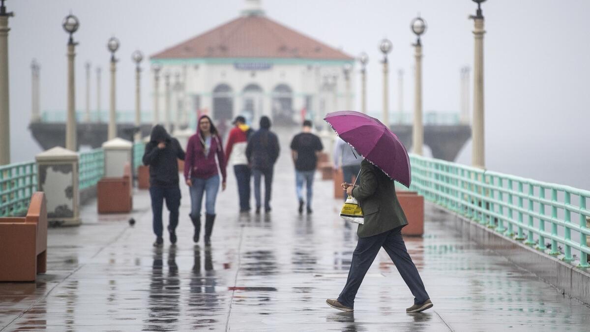
Showers expected to linger through early Sunday

Keep your umbrellas handy this weekend, Angelenos. Southern California is in for a rainy start to March.
The Southland received a welcome break from wet weather on Friday following a series of storms over the last month and, most recently, two days of fairly sporadic showers from an atmospheric river that clipped the region.
However, forecasters say the respite won’t last long. The skies are expected to open up by Friday night, with showers lingering through early Sunday.
The latest winter storm is expected to drop between three-quarters of an inch to just over an inch of rain in Los Angeles County through the weekend.
Some areas at higher elevations could see up to 2 inches of precipitation. Orange and San Diego counties are expected to be a bit drier, with most areas likely receiving less than an inch of rain. The Santa Ana Mountains could see a bit more, according to the National Weather Service.
Alhough the storm, which will also bring gusty winds that could reach between 20 and 40 mph in some areas, has tapped into subtropical moisture, it likely won’t pack the same moisture punch that the region has seen with recent systems.
“We do expect some significant rainfall out of it, but nothing on the scale which we’ve seen in other storms this season,” said Philip Gonsalves, a meteorologist with the National Weather Service in San Diego.
He added that this system doesn’t carry the same level of moisture as the atmospheric rivers that have hammered California this winter. Those storms have boosted the state’s water supply and snowpack but have also caused mudslides and dumped enough moisture to overflow rivers and flood communities in Northern California.
How atmospheric river storms tamed California’s drought »
Forecasters don’t expect the rain to fall at a rate that could trigger large-scale debris flows or mudslides in recent burn areas. However, they said, some minor flooding could be possible.
Local snow levels are expected to remain around 9,000 feet through Saturday before dropping to 7,000 feet on Sunday, although at least one ski report was predicting 9 inches of snow for Bear Valley.
In the Sierra, the weather service was predicting “hazardous weather conditions” in Mono County, home to Mammoth and June mountains. It has issued a winter weather advisory, beginning just after midnight Saturday until 6 p.m.
“Mountains and foothill areas above 5,000-5,500 feet can expect periods of snow starting predawn Saturday lasting through the afternoon,” a special weather statement said. “Significant travel impacts are possible with delays and chain controls likely.”
Mammoth Mountain received about a foot of snow this week, bringing base depth at the Main Lodge to 12 1/2 feet. The resort is expecting more snow Saturday and Sunday.
Southern California is expected to dry out a bit Monday before rain returns Tuesday. That storm is expected to stick around through Wednesday, forecasters said.
Times staff writer Catharine Hamm contributed to this report.
Twitter: @Hannahnfry
More to Read
Sign up for Essential California
The most important California stories and recommendations in your inbox every morning.
You may occasionally receive promotional content from the Los Angeles Times.


