California snowpack exceeds average for first time in years
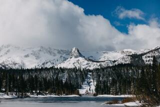
A series of powerful snowstorms in the Sierra Nevada has resulted in a small milestone in drought-stricken California: The snowpack is now higher than average for this time of year.
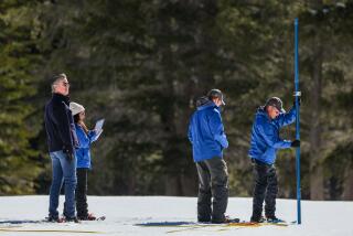
The storms, which are likely to continue into Friday, have fattened the mountain snowpack to levels California hasn’t seen for two years, said Steve Nemeth, water supply forecaster for the state Department of Water Resources.
The announcement was welcome news to a state that has struggled with extremely dry conditions for more than four years. However, experts were quick to point out that California’s drought is far from over.
Statewide, the snowpack is 111% of average for the date. In the northern Sierra, it is 116% of the norm; in the central Sierra, 121% of average and in the southern Sierra, 85% of the norm.
Last year at this time, the statewide snowpack was little more than half the average, setting the tone for a dismal winter of bare Sierra slopes. Snow in these areas is a key source of water for the state.
“We are above average and that’s a very good thing,” Nemeth said, adding a note of caution. “We’ve been fooled before on above-average Decembers” with disappointing sequels.
When it comes to snowpack, the critical date is still months away. April 1 is when snowpack reaches its peak, and in a typical year that snow provides Californians with roughly a third of their water supply.
The snow comes from a series of cold storm systems that originated in the Gulf of Alaska, according to Eric Kurth, meteorologist with the National Weather Service in Sacramento.
Snowfall began earlier this year — in November — and covered a wider area than usual, instead of appearing at just higher elevations.
“We’ve got snowstorms on top of other snowstorms, which has helped accumulate snowpack,” Kurth said.
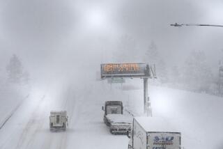
A storm that began Sunday and continued into Tuesday has deposited 3 feet of snow in some mountain areas. Another cold system is arriving on Thursday, Kurth said, which means that foothill communities in Northern California could see snow on Christmas.
However, the storms have not brought as much moisture as last year, Kurth said. The Northern California region has seen 15.6 inches of rain since October, down from 23 inches this time last year.
In Southern California, recent storms have brought gusty winds, high tides and rain.
On Tuesday, winds in the Antelope Valley toppled at least 10 big rigs, while flooding closed portions of the 405 Freeway in Los Angeles.
The National Weather Service warned coastal residents to prepare for high surf and high tides, and cautioned that a second predicted storm could force the closure of the Tejon Pass through the Grapevine on Christmas Eve.
Although recent rains had dropped only hundredths of an inch of rain each hour, that precipitation could still cause problems at certain elevations.
“Even just an inch of that will wreak havoc on the Grapevine,” said meteorologist Dave Bruno.
Forecasters had expected heavier rains but in recent days the storm lost strength, Bruno said. It is now expected to hit Los Angeles County with just a “glancing blow,” but that’s enough to dust the mountains with snow at elevations as low as 4,000 feet, which could be a headache for commuters and holiday travelers.
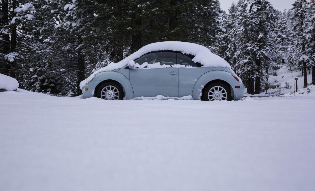
A November snowstorm in Mammoth Lakes, Calif.
According to the Automobile Club of Southern California, 7.6 million Southern Californians are expected to travel more than 50 miles between Wednesday and Jan. 3. Of those, about 6.8 million are expected to drive, AAA said.
The National Weather Service issued a wind advisory for the southwestern California region for Tuesday morning until noon Wednesday. The service predicted gusts of more than 60 miles per hour, with the most severe winds near the Grapevine, mountainous areas and the western Antelope Valley along the 5 Freeway.
Winds strong enough to blow over trees and power lines will cause driving difficulties for large vehicles and kick up dust and sand, reducing visibility in desert areas to less than half a mile, according to the advisory.
Strong winds could also cause rip currents and high surf along Central Coast beaches, as well as minor flooding in low-elevation coastal areas.
The storms are considered a preview of a strong El Niño weather system expected in January, which is expected to dump heavy rains across California.
The National Weather Service’s Climate Prediction Center said El Niño is on track to be one of the strongest on record.
El Niño is a phenomenon involving a section of the Pacific Ocean west of Peru that warms up, causing alterations in the atmosphere that can cause dramatic changes in weather patterns globally.
Strong El Niños strengthen the track of winter storms targeting California and the southern United States, while the jungles of southern Mexico and Central America see less rain, and the northern United States, such as the Midwest and Northeast, sees milder winters.
Times staff writer Monte Morin contributed to this report.
ALSO
Bright light seen streaking across California and Nevada skies
Robert Durst will return to L.A. to face murder charge
Lyft can pick you up at LAX starting Wednesday
