Fall storm skirts Los Angeles, making prospect of rain less likely

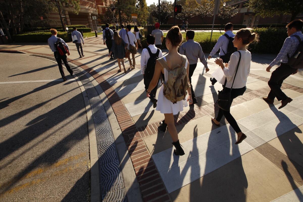
UCLA students make their way to class Monday in the heat. A low-pressure system combined with a plume of sub-tropical moisture will bring showers and possibly thunderstorms starting Monday night.
A shifty weather pattern greeted Southern California on Monday, driving up temperatures that suddenly dipped, while the forecasted storms skirted by Los Angeles but will send heavy cloud cover over the Southland.
On Catalina Island, the morning temperature reached the high 80s but had dipped to the high 60s by noon. In Woodland Hills, the mercury reached 97 degrees about 9 a.m., but dropped to 87 degrees by 10 a.m.
Forecasters with the National Weather Service said the “fascinating” changes owed to a growing eddy that reversed the winds and thwarted another day of sweltering temperatures.
Showers and possibly thunderstorms had been forecast to arrive in parts of Los Angeles County late Monday, part of a tropical storm system near the coast of the Baja Peninsula.
That storm was initially expected to lash the mountains and deserts of L.A. County, possibly triggering flash floods.
But the prospect of precipitation has become less likely, according to the National Weather Service, with the moisture moving farther south and into the Inland Empire.
A flash-flood watch was issued through Tuesday for the mountains and lower deserts of San Diego County and the Inland Empire, but according to the National Weather Service: “Rainfall was pretty much a bust.”
Forecasters had said the storm could drop one to two inches of rain over the inland areas — but few rain gauges recorded a fraction of that. The heaviest precipitation had moved on toward Arizona and New Mexico.
On Tuesday, temperatures are expected to cool, possibly dropping five degrees below normal for this time of year.
Highs in the valleys near Los Angeles are expected to reach the mid to high 80s, but the heat will be accompanied by increased humidity.
Orange, San Diego, Riverside and southern parts of San Bernardino counties still could see a few thunderstorms, according to the National Weather Service.
By Wednesday, the heavy clouds above Los Angeles will probably clear, and dry and warm conditions will return.
Still, the heat won’t be as intense as it was Sunday. Temperature records were broken Sunday as temperatures soared past 90 degrees for parts of Los Angeles County.
Record-breaking temperatures were posted in Burbank and Woodland Hills at 104 degrees, followed by Long Beach at 100 degrees and Camarillo at 91 degrees.
Warm temperatures will continue through the week, peaking on the weekend, forecasters said.
For breaking news in California, follow VeronicaRochaLA.
Hoy: Léa esta historia en español
ALSO:
Man’s body found under mud, debris in Angeles National Forest
California wildfires destroy more than 1,600 structures, kill six
More than 1,200 homes in L.A. County without power after record-breaking heat
More to Read
Sign up for Essential California
The most important California stories and recommendations in your inbox every morning.
You may occasionally receive promotional content from the Los Angeles Times.


