How a ‘rain shadow’ left this reservoir parched even after all those storms
It’s rained so much across California that the state’s biggest reservoirs are filled to levels not seen in years.
At least six of the state’s major reservoirs are now holding more than 100% of their historic average, and massive Lake Shasta is so replete with water that dam operators opened spillway channels for the first time in six years this month.
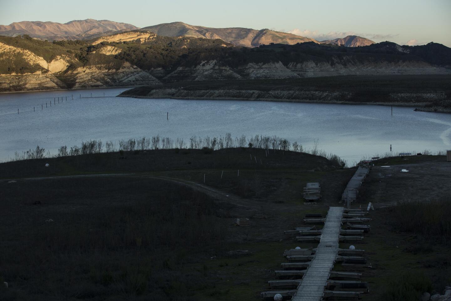
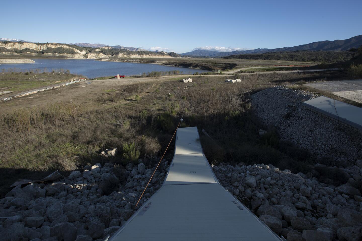
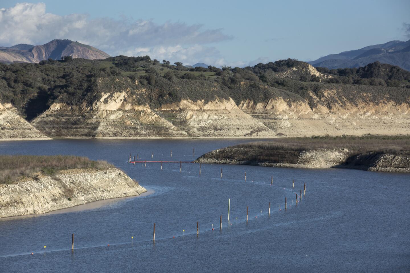
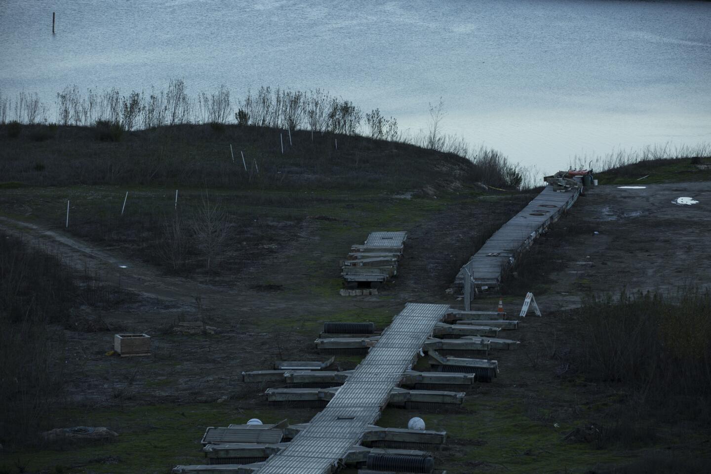
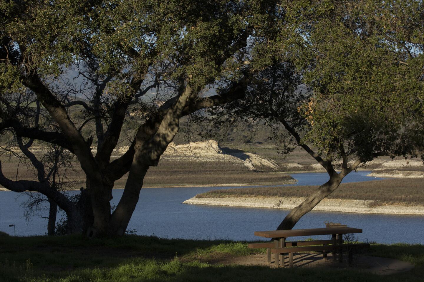
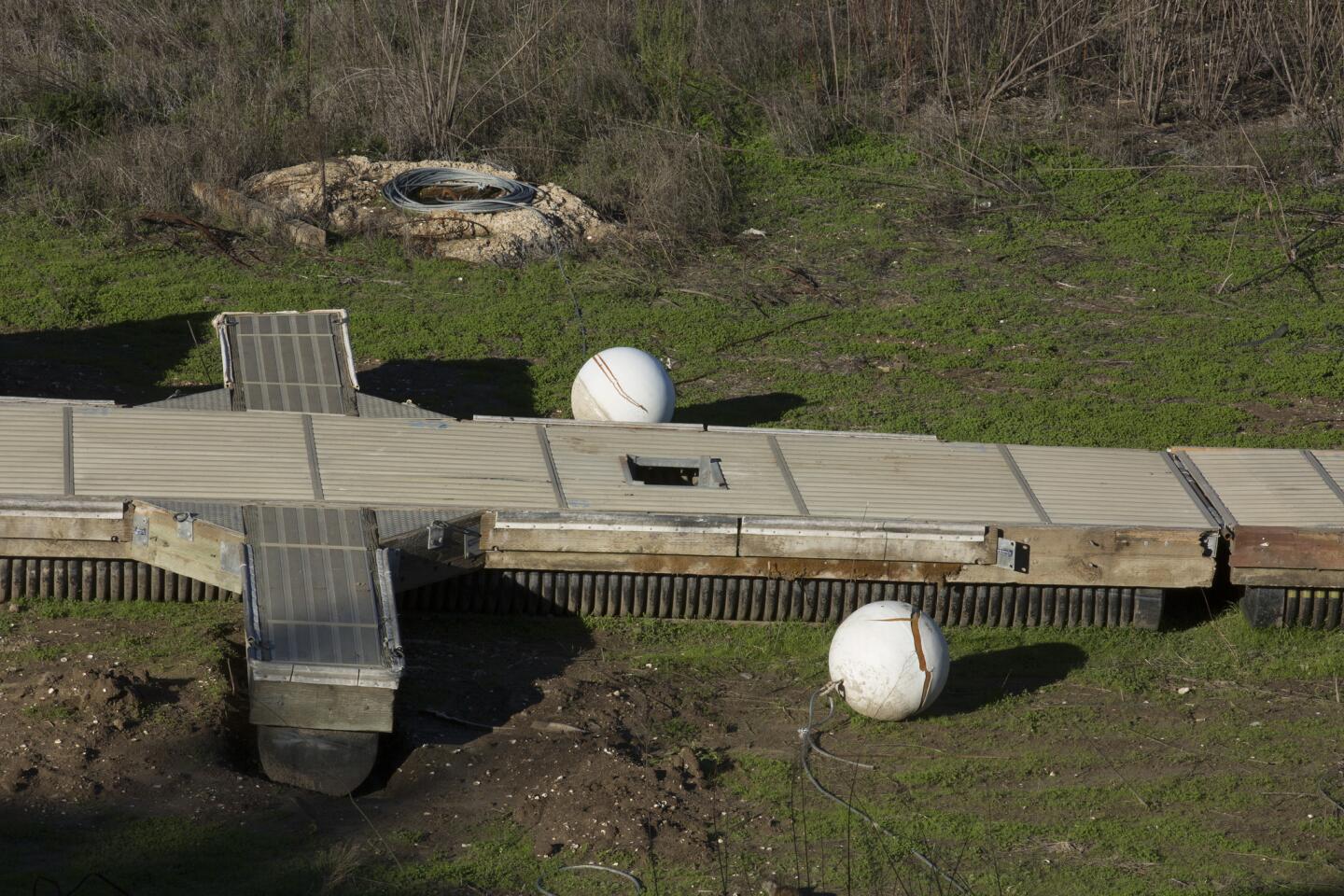
But then there’s thirsty Lake Cachuma. The Santa Barbara County reservoir this week was filled to just 13% of its historical average and 9% of its capacity.
How is it possible that Southern California can get walloped by one of the wettest winters on record and still have the lowest reservoir level in the state?
Blame the curious “rain shadow” effect, experts say.
In a major improvement, nearly half of California no longer in drought »
“When a cold front comes in they just slam into the mountain range straight on,” National Weather Service forecaster Steve Anderson explained. “When that happens the air can’t go through it, it can’t go around it, it has to go up and over. And as the air goes up, it precipitates out a lot of rainfall.”
The storm is “rained out” by the time it crests the hilltops, Anderson said. He pointed to Big Sur as an example. On the coastal side of the mountains there it’s rained more than 23 inches since Oct. 1. On the other side of the mountains, at Salinas Airport, it’s rained only 9 inches, data show.
In the case of Lake Cachuma, the rain shadow cast by the Santa Ynez Mountains is substantial. The area around Lake Cachuma is still considered to be in extreme drought, as are parts of Ventura, Los Angeles and Kern counties, according to the U.S. Drought Report.
Nestled in the Santa Ynez Valley at the western foothills of Los Padres National Forest, the lake is blocked on the north, south and east by mountains. The area as a whole is receiving less rainfall than the rest of California, National Weather Service data show, but even when storms do approach, moisture is wrung out on the mountains’ coastal faces before the storms can make the march over the top and rain into the lake.
Since Oct. 1, Santa Barbara Airport on the south side of the Santa Ynez Mountains along the coast has received more than 13 and a half inches of rain, more than 8 of which have come in just the last three weeks, the National Weather Service said. But 18 miles north, on the other side of the mountains and not far from the lake, Santa Ynez Airport has received fewer than 7 inches of rain since October and fewer than 5 inches of rain since the beginning of the year.
Even Los Prietos campground, on the same side of the lake, but farther inland and higher in the mountains, has collected significantly more rain. Data show it’s rained more than 14 inches there since Oct. 1.
“Sometimes these storms are so big there’s an effect called ‘spillover,’ where it’s big enough and goes over the big mountains and drops it on the other side,” said state climatologist Michael Anderson. “Cachuma stands out because it’s much farther behind.”
The lake is inland from a point on California’s coastline that shifts from a north-south orientation to east and west, putting it in a position to receive rain from storms moving southeast from the ocean through the state. But a storm flowing north will tangle with the Santa Ynez range, which condenses the moisture in the air as it passes over and squeezes out much of the rain before it hits the other side, Anderson said.
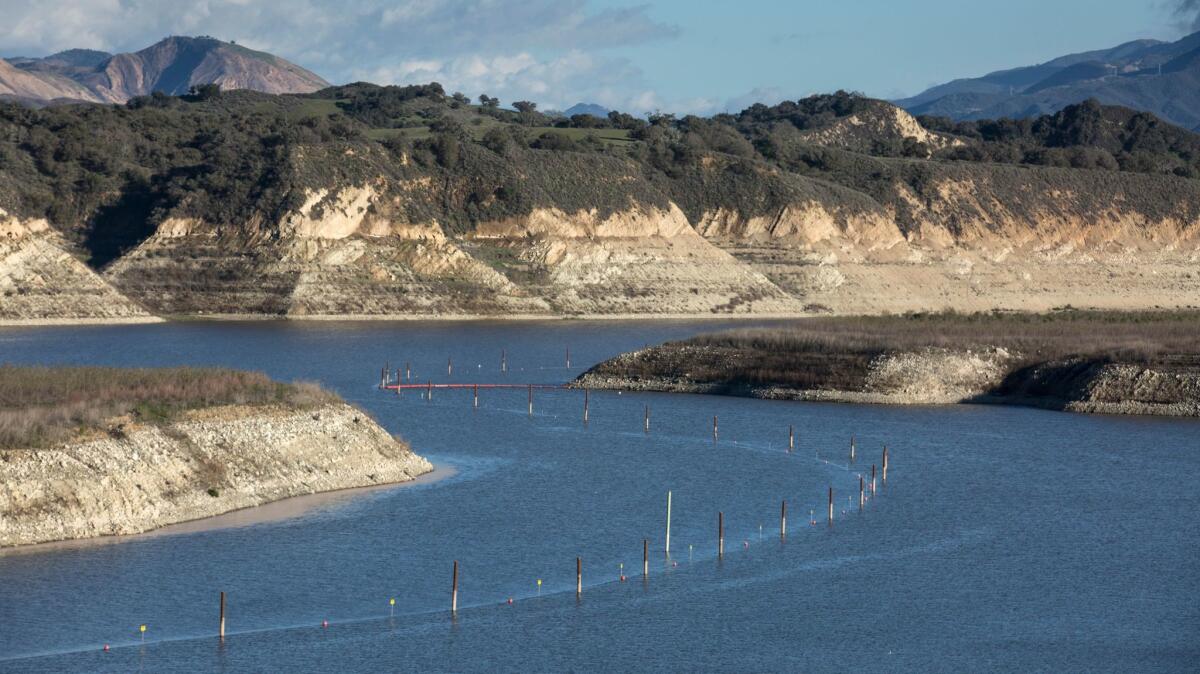
The lake provides about 85% of the water for a quarter-million Goleta Water District residents and 12,000 acres of cropland along Santa Barbara County’s south coast.
The San Gabriel Mountains have a similar effect on the high desert: More than 11 inches of rain have fallen at the Santa Fe Dam in Irwindale since Jan. 1, but only 1.84 inches have fallen on Palmdale on the other side of the mountains.
The same goes for the Sierra Nevada’s Crystal range, which is why a tiny airstrip in the hills of Nevada County in California has received more than 27 and a half inches of rain since Oct. 1 but the University of Nevada in Reno has gotten only 9 inches.
But Lake Cachuma would need to overcome more than its geography to see results similar to Folsom and other reservoirs that hide in similar rain shadows, experts say. Despite a strong El Niño last winter, Southern California didn’t get the same rainfall that Northern California did and is still struggling to recover from years of drought.
The region would need at least another wet year like this winter to recover from drought, experts say.
“You can think of it as a sponge,” said Jayme Laber, a hydrologist with the National Weather Service in Oxnard. “We’re finally just soaking it in.”
For breaking California news, follow @JosephSerna on Twitter.
ALSO
Southern California sees freeze, frost conditions
San Diego high school student who was forced to urinate in bucket wins $1.25-million lawsuit
Trump issues immigration orders, but California cities and police aren’t onboard
More to Read
Sign up for Essential California
The most important California stories and recommendations in your inbox every morning.
You may occasionally receive promotional content from the Los Angeles Times.
