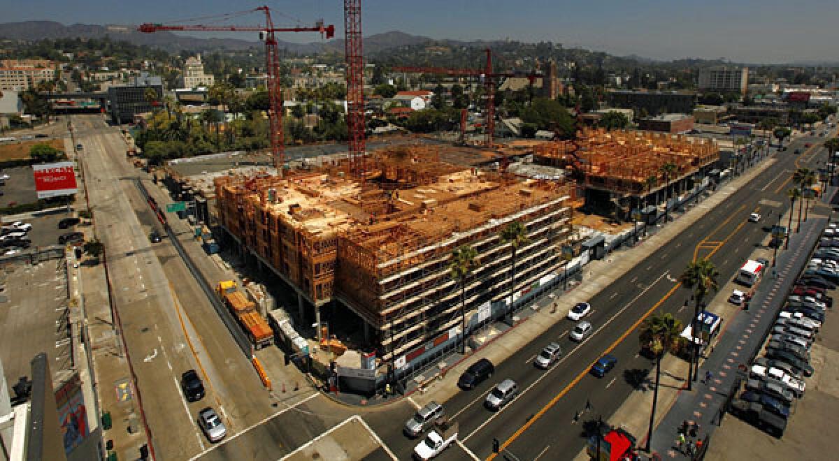
Hollywood developments straddle earthquake fault, new maps show

New state geological maps released Wednesday show several major developments planned in Hollywood are much closer to an active earthquake fault than Los Angeles city officials have said.
The draft maps chart the course of the Hollywood Fault, which runs from Atwater Village and Los Feliz, through a booming section of central Hollywood and west along the Sunset Strip.
The state accelerated completion of the maps last year amid controversy over the Los Angeles City Council approving a skyscraper development on or near the fault.
Map: The Hollywood fault and proposed developments
The maps create a zone of generally 500 feet around the fault, and state law requires any new development within the zone receive extensive underground seismic testing to determine whether the fault runs under it. The law prohibits building on top of faults.
The rules, which will take effect when the state formally adopts a final version of the maps this year, will affect future development in two fast-growing areas: Hollywood north of Hollywood Boulevard and West Hollywood along Sunset Boulevard.
Interactive map: Do you live or work in the Hollywood fault zone?
The state law has not applied to the Hollywood fault because the state geologist had not completed the fault zone.
Los Angeles city officials acknowledged in November they have been using outdated fault maps. They didn’t realize their error until Times reporters pointed it out to them, and they have since begun using newer maps.
Developments in the state’s preliminary earthquake fault zone include the proposed Millennium Hollywood skyscraper project, the sprawling Blvd6200 development now under construction, and a planned apartment complex on Yucca Street.
More coverage: L.A.’s Hidden Dangers
State geologist John Parrish planned a news conference at 11 a.m. Wednesday in downtown Los Angeles to release the new map of the Hollywood fault, as well as one covering the foothill cities of Monrovia, Duarte, Azusa and Glendora in eastern Los Angeles County.
The draft maps were produced under the state’s Alquist-Priolo Earthquake Fault Zoning Act. After state officials receive public comment, they are expected to publish a final version of the earthquake fault zones this year.
ALSO:
Hollywood’s Blvd6200 project escaped review despite fault threat
Campaign to map earthquake faults has slowed to a crawl
Quake danger: Lawmakers want faster fault mapping by state
More to Read
Sign up for Essential California
The most important California stories and recommendations in your inbox every morning.
You may occasionally receive promotional content from the Los Angeles Times.


