Residents are urged to ‘be prepared’ for flooding as new storm moves into Northern California
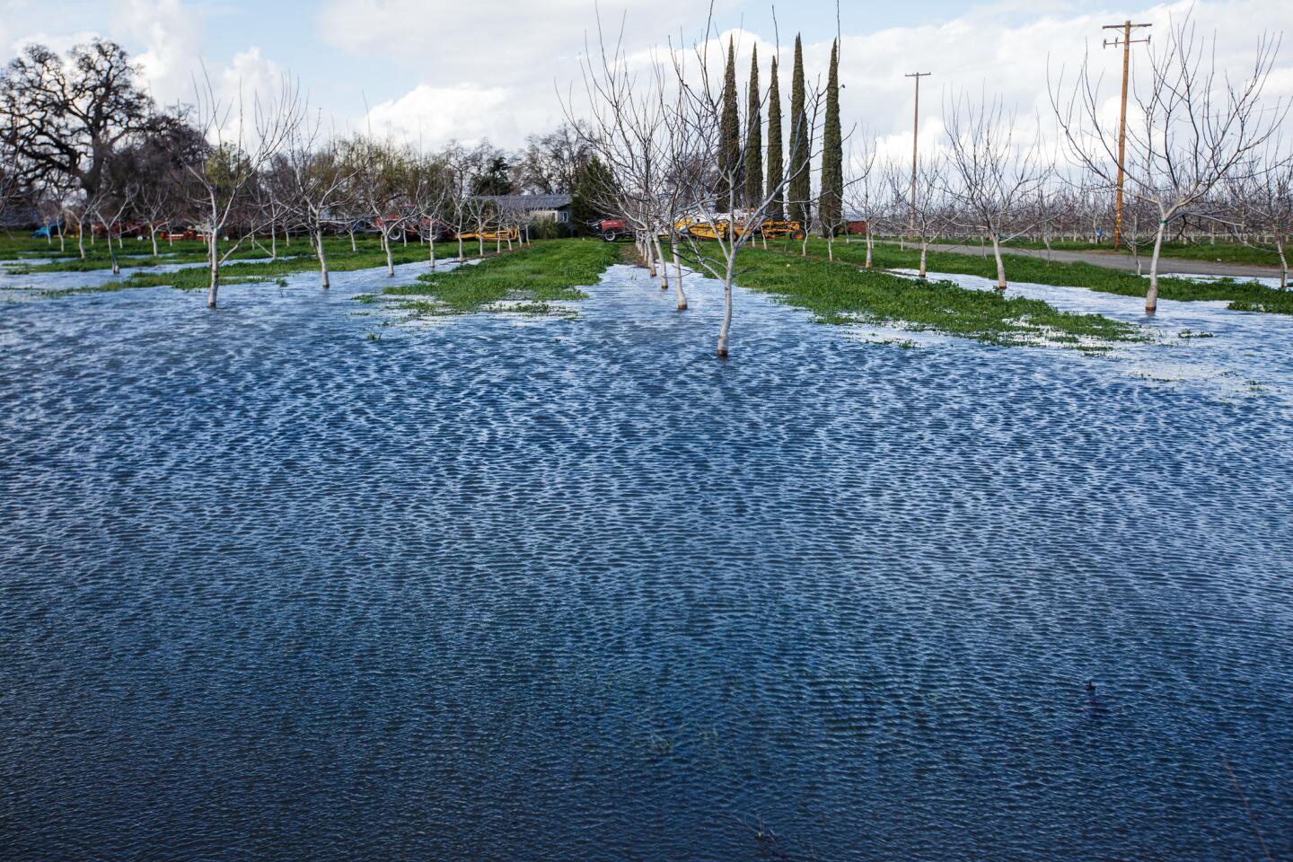
Reporting from Oroville, Calif. — Officials said Sunday there is a high risk of flooding in parts of already-saturated Northern California as the latest “atmospheric river” storm moves in.
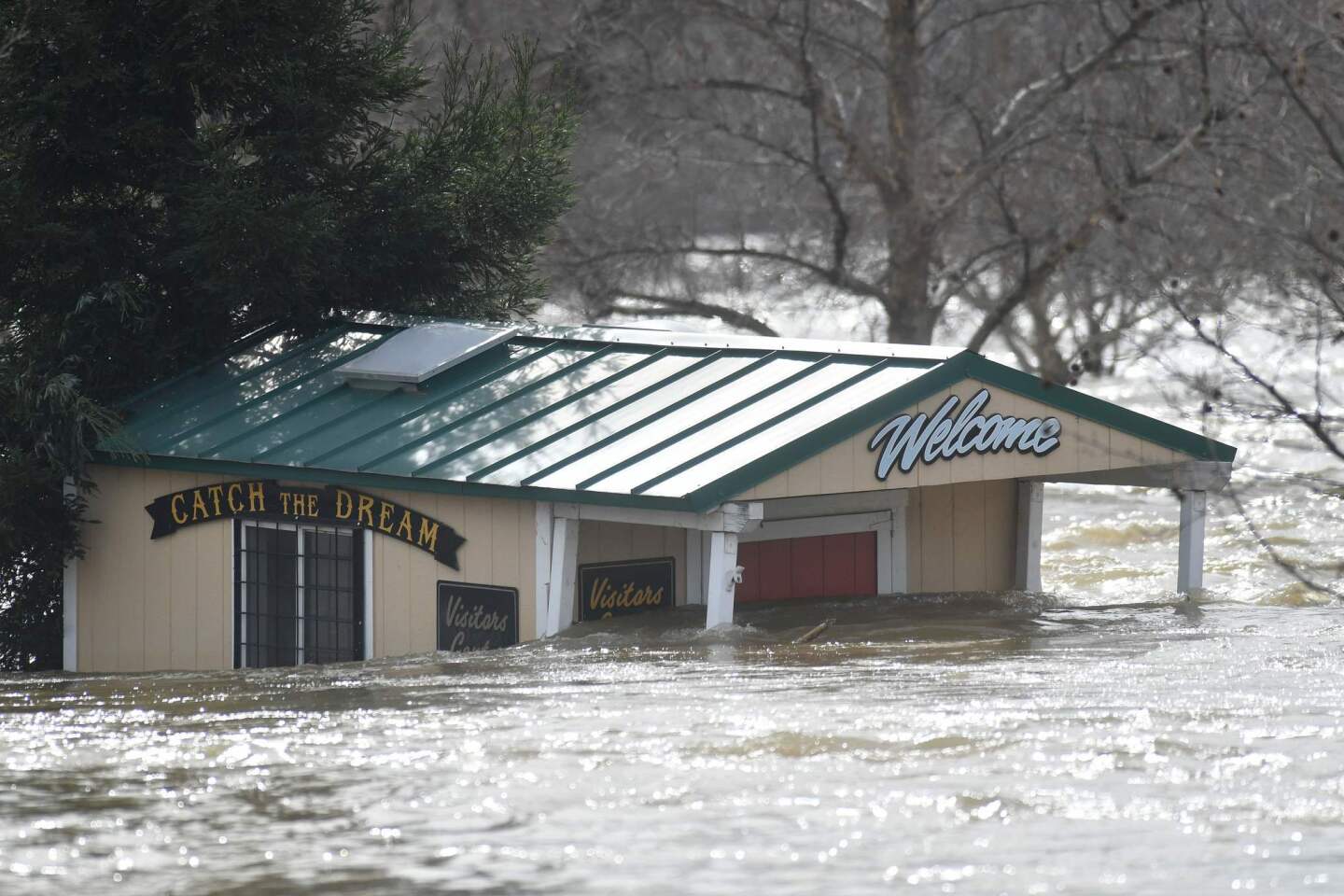
“We are strongly advising all residents in interior Northern California to be prepared for flooding,” the National Weather Service said in an advisory late Sunday. We may see flooding in locations which haven’t been impacted in many years.”
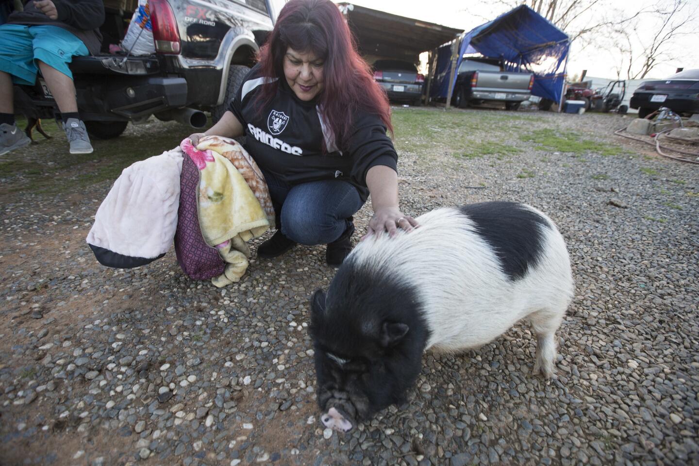
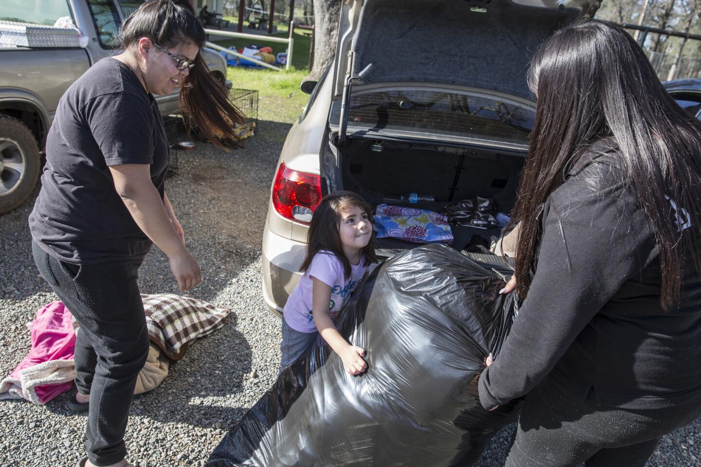
Officials urged residents to put together a “go bag” containing important items such as medications and hard-to-replace documents, as well as to plan for the needs of pets and other animals.
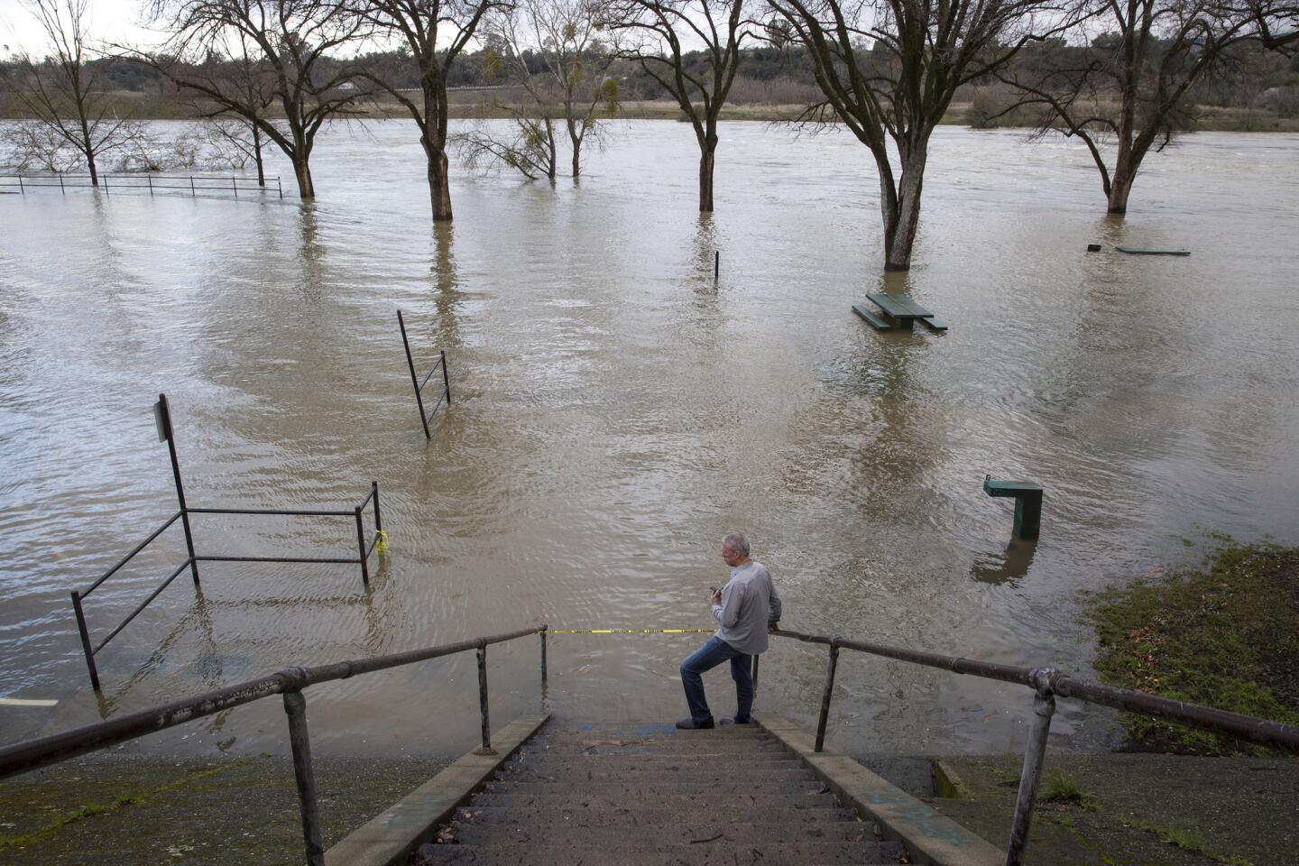
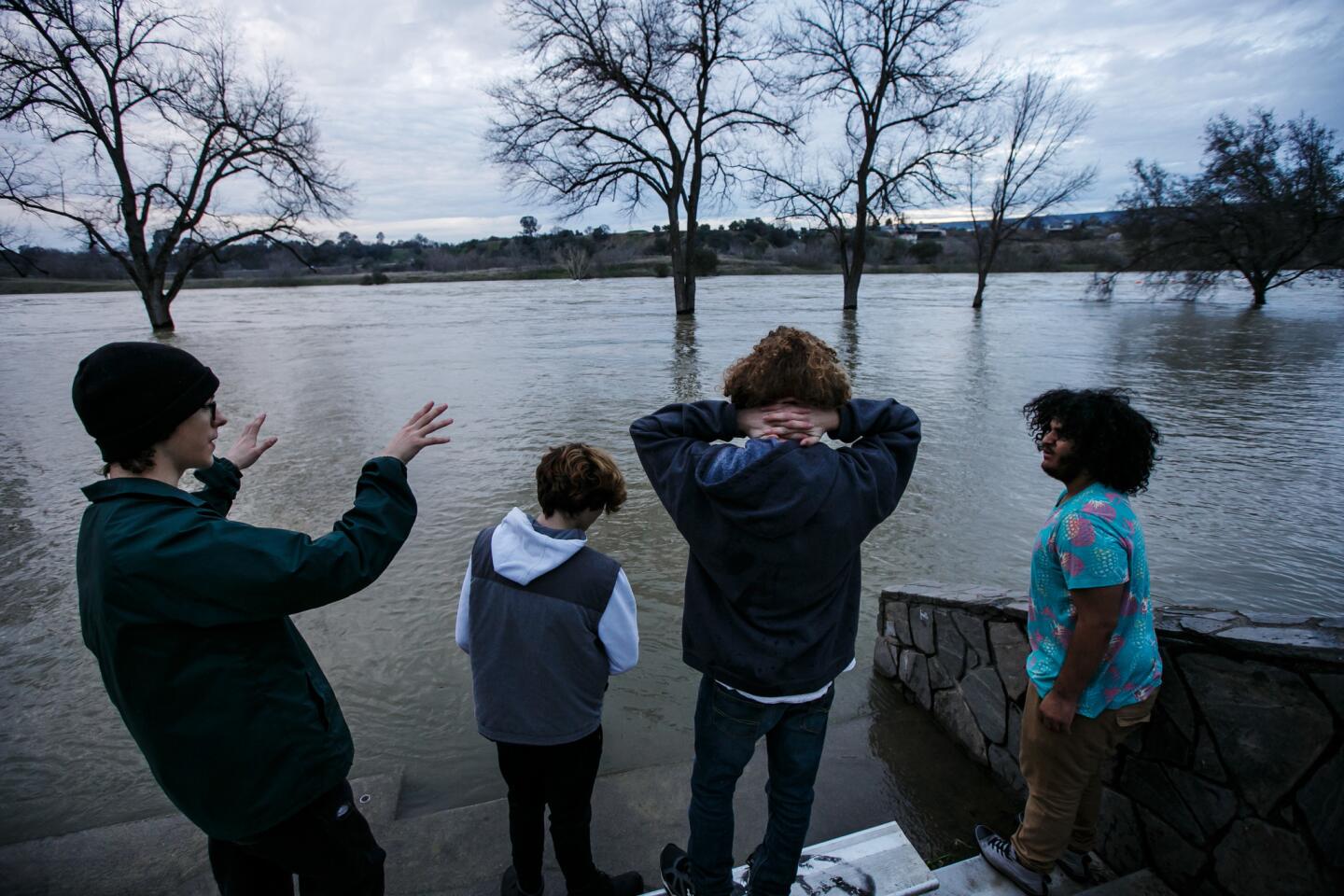
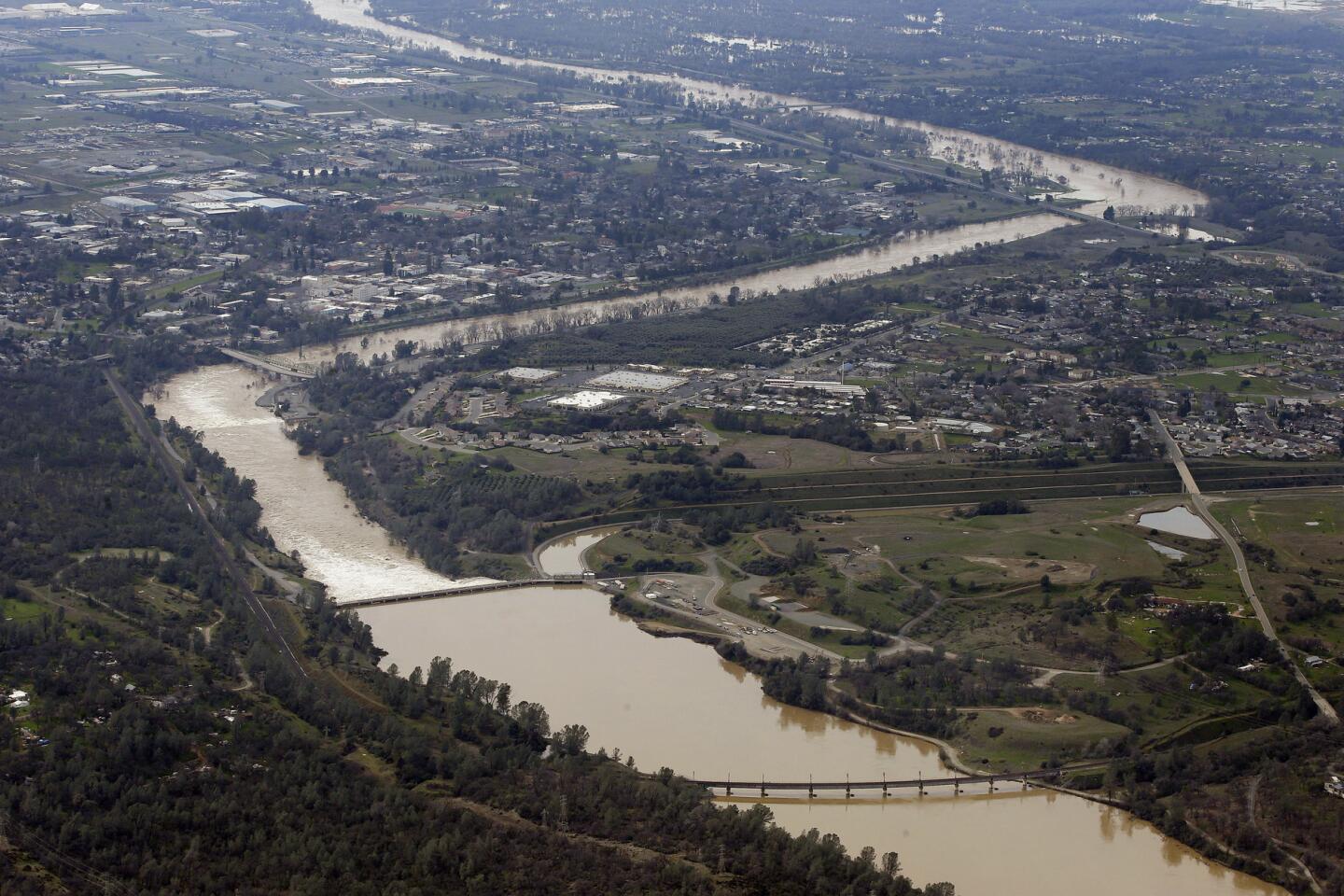
The NWS said the highest risk for flooding was in a large swath of the region from Monterey to Marin County on the coast, then into the Sacramento Valley and Sierra Nevada. The storm is expected to put added stress on levees, streams, creeks and rivers that are already approaching dangerously high water levels.
The heaviest rain is expected to hit on Monday and Tuesday. Parts of Northern California are already on track to have the wettest winter ever recorded.
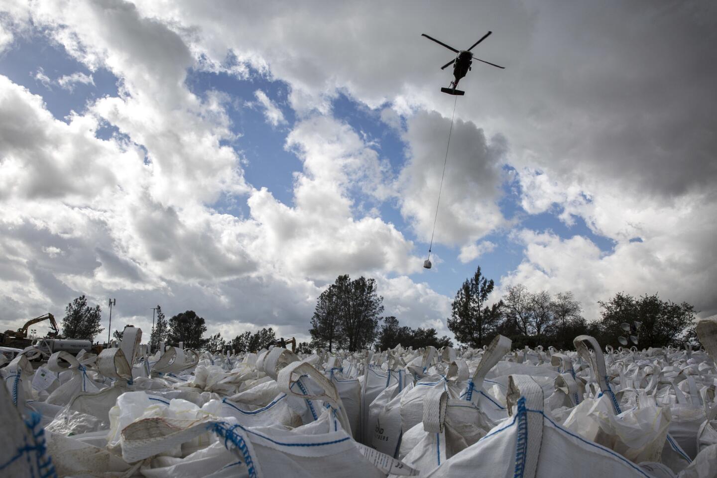
On Sunday, the weather service warned that the San Joaquin River at Vernalis “has reached danger stage. Greater risk for levee problems.” Sandbagging operations were underway there as the storm approached.
Officials also said several other waterways were at major risk of flooding, including the Yolo Bypass, Clear Lake, and the Sacramento, Cosumnes, Mokelumne, Merced and Tuolumne rivers.
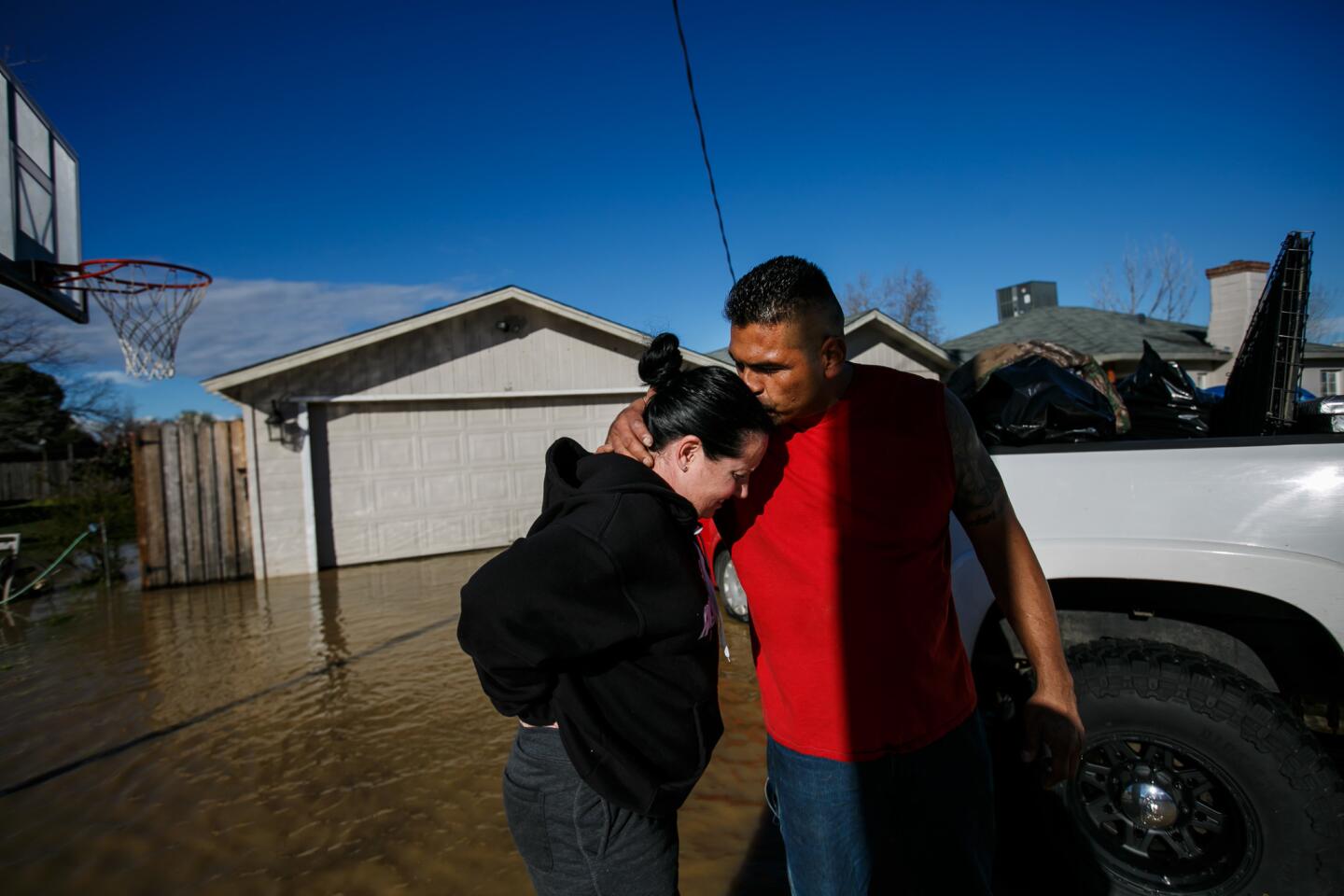
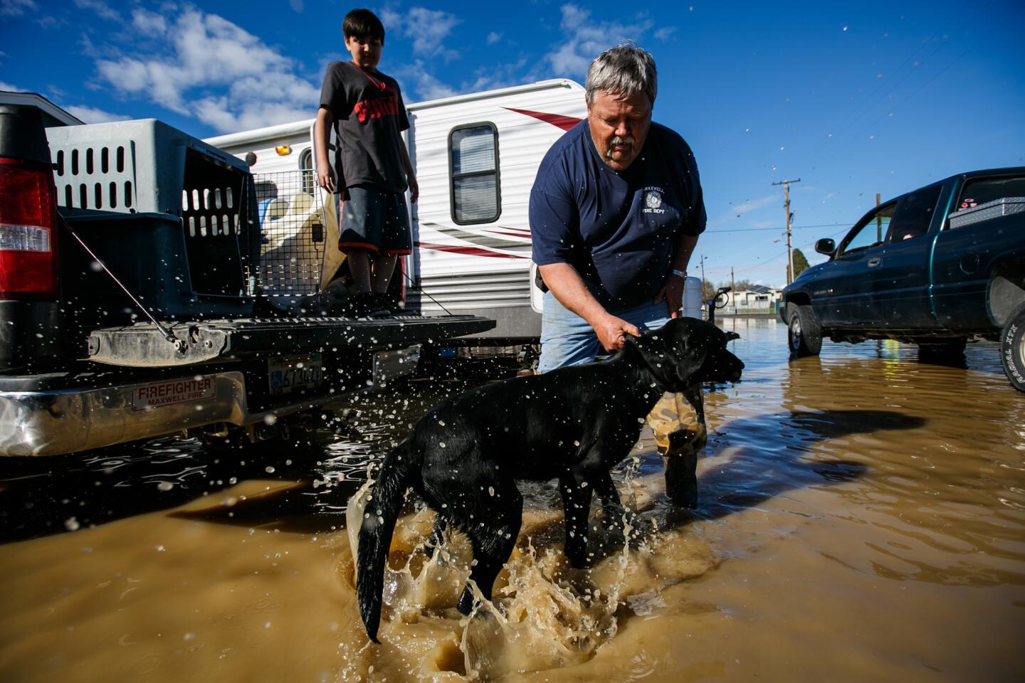
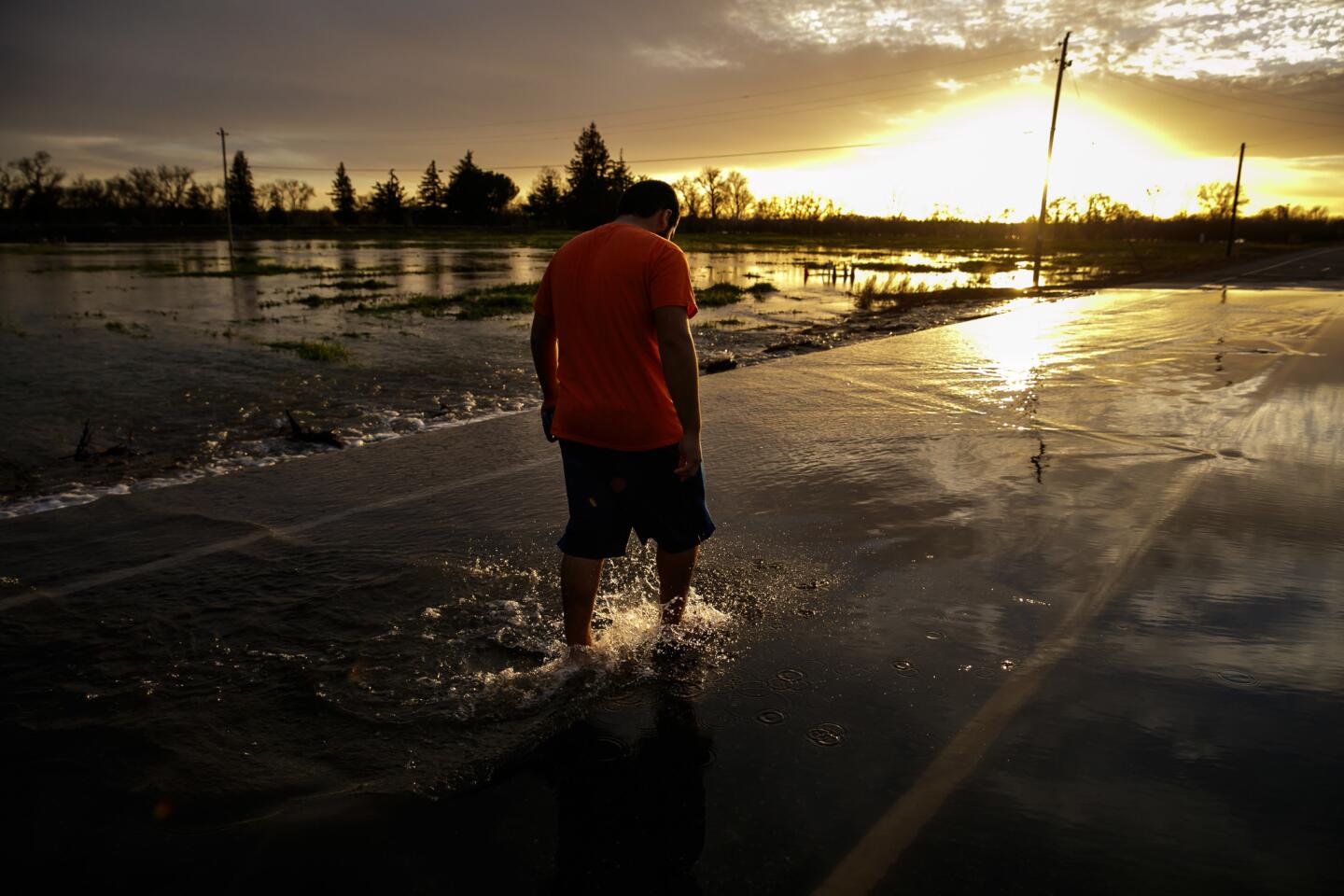
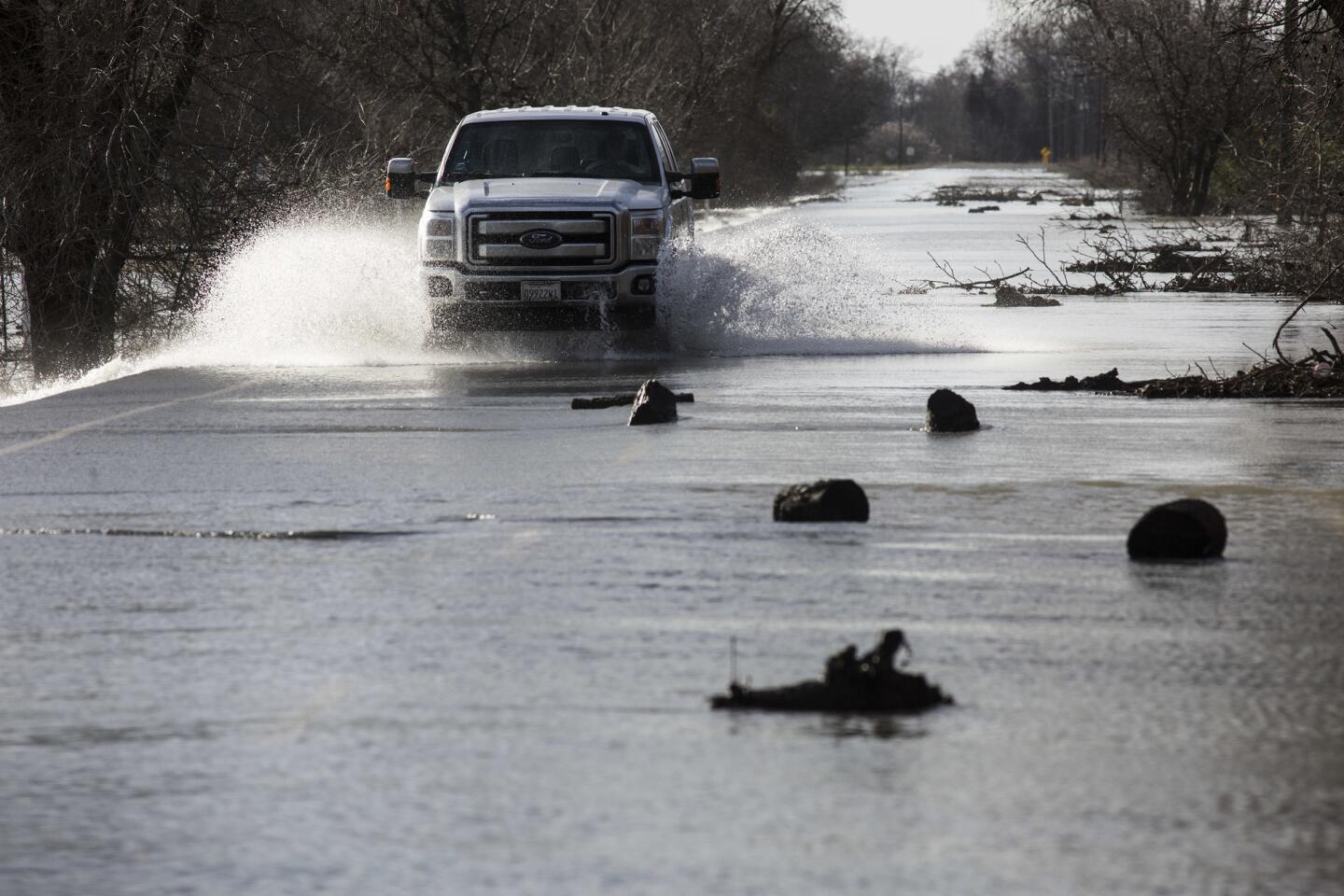
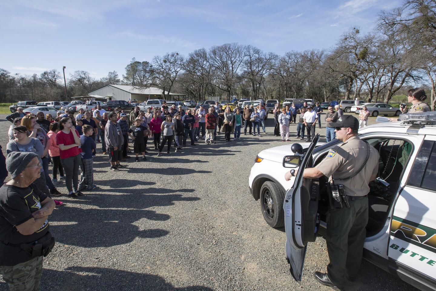
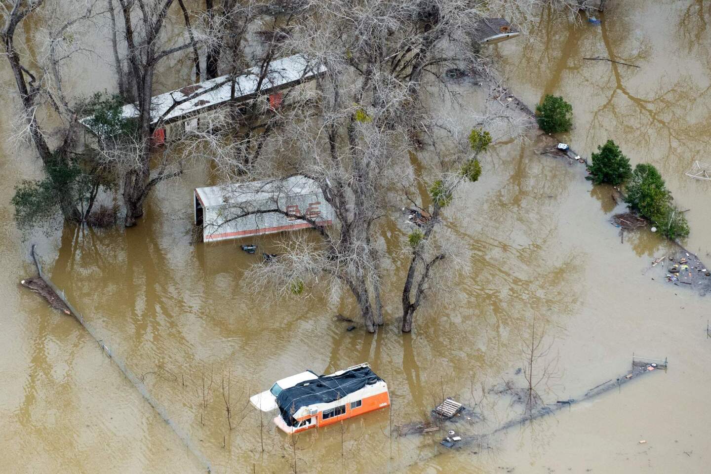
On Saturday, water stood a foot high in Maxwell, a small rural town in Northern California’s Colusa County. Crews had to evacuate 100 people, some by boat, about 2 a.m. because of flooding,
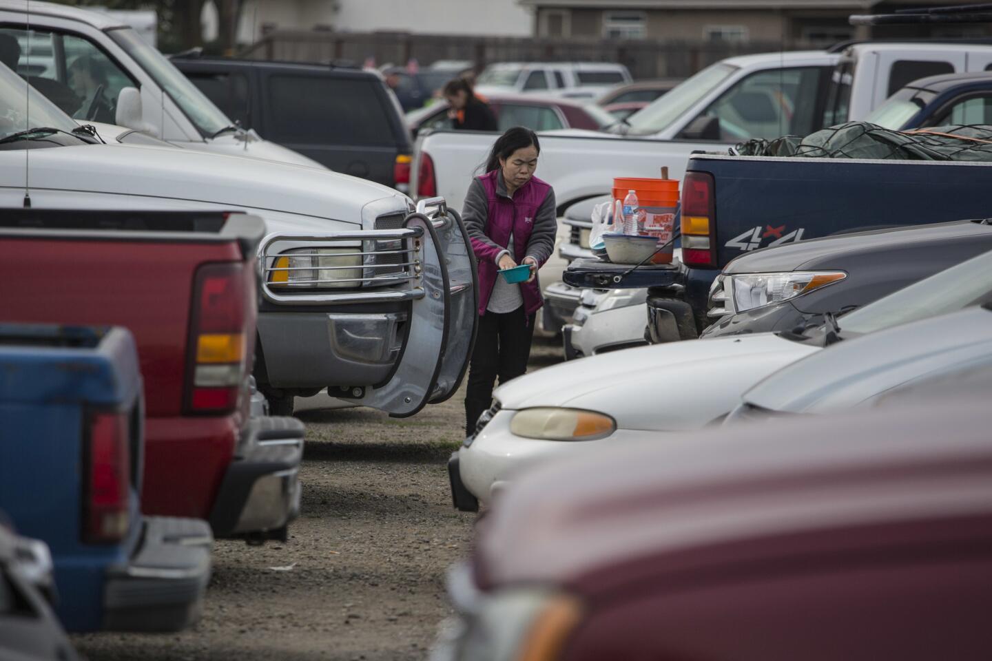
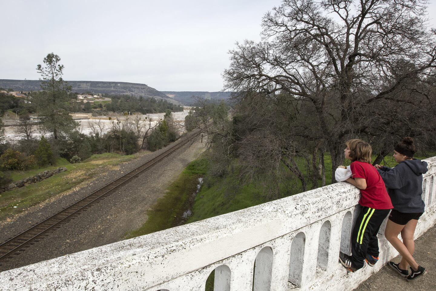
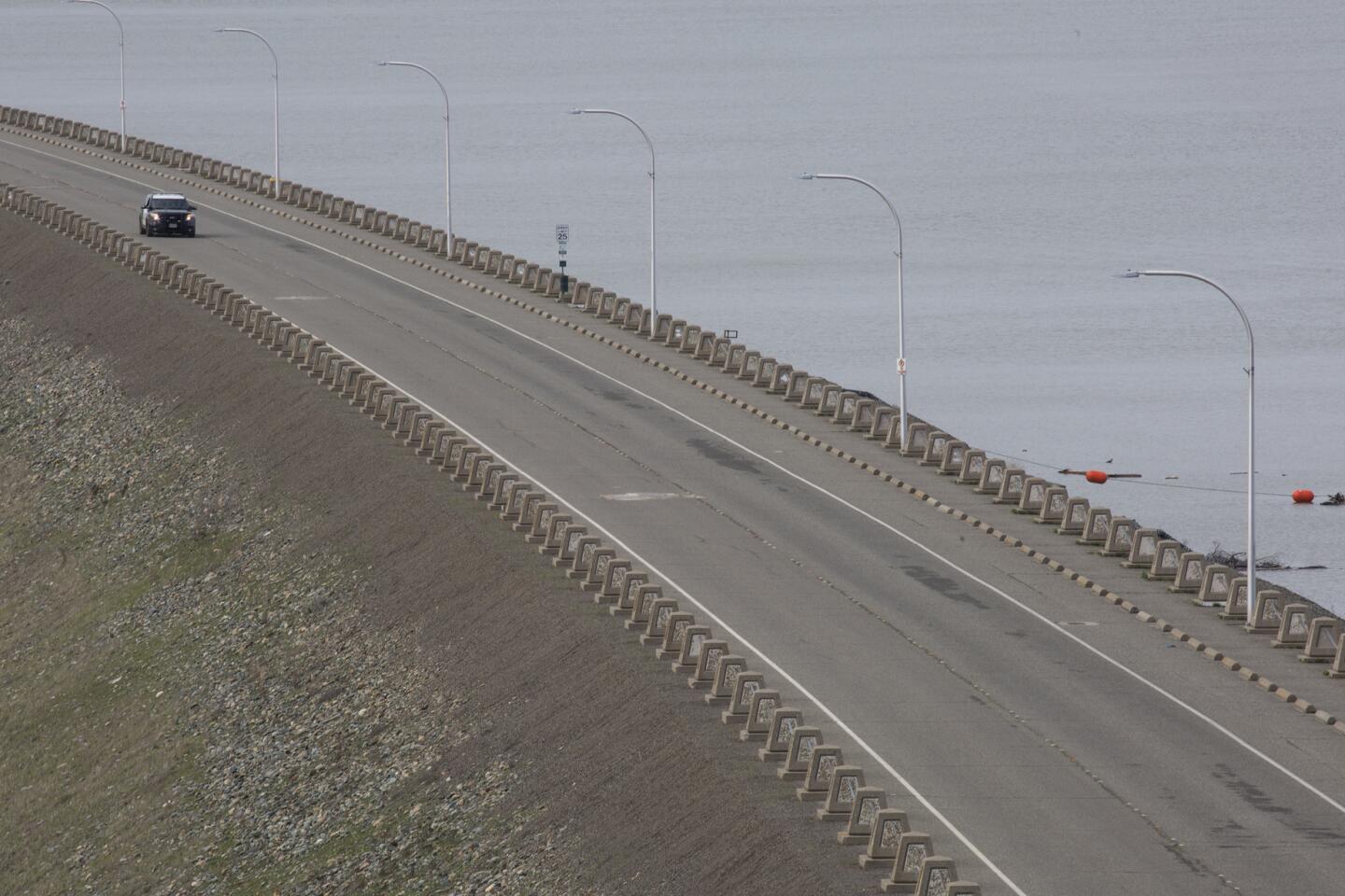
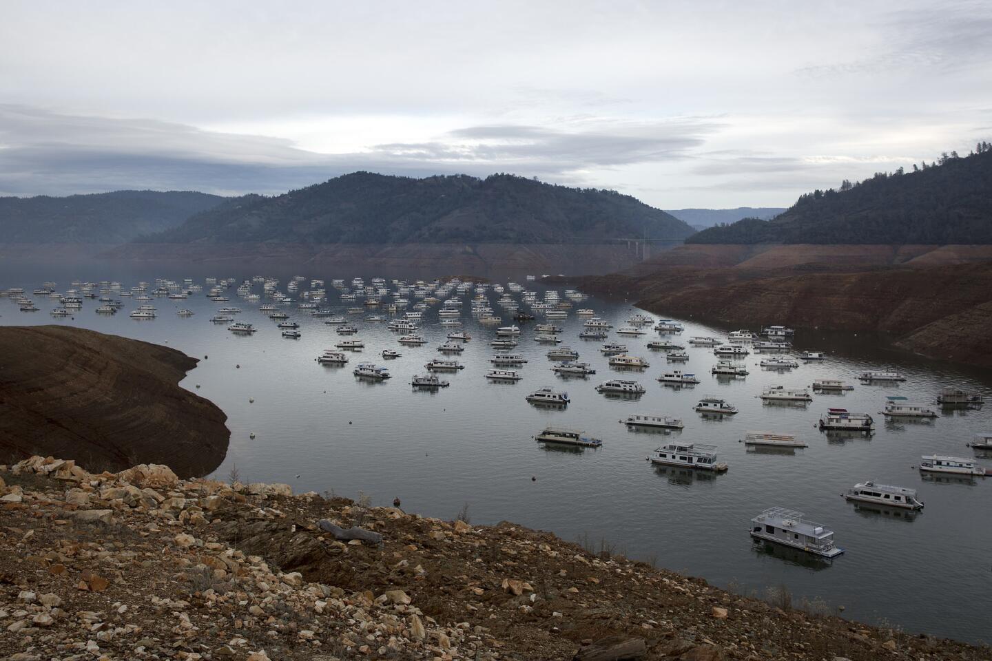
Maxwell is about 50 miles from Oroville, which for the last week has been the scene of a national drama as both spillways at the Oroville Dam were damaged, sparking fears of a catastrophic flood and forcing the evacuation of more than 100,000 people.
Officials were able to reduce the water levels in the reservoir, and say they are prepared for the new storms.
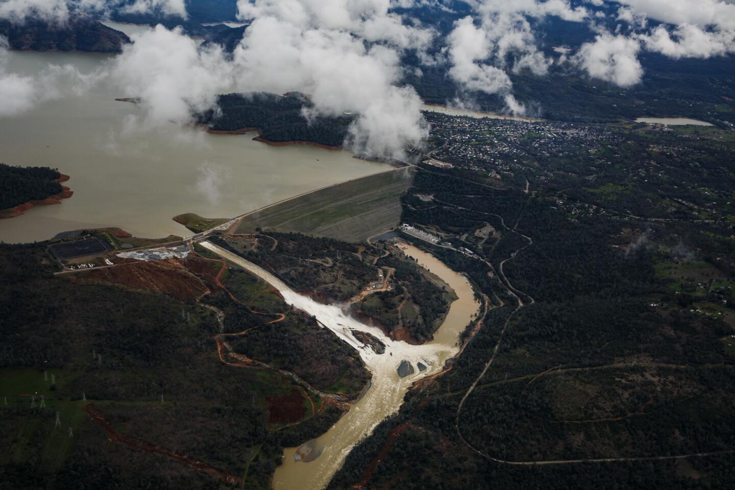
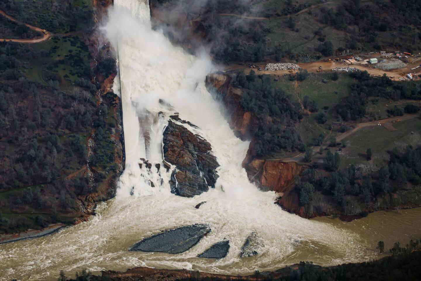
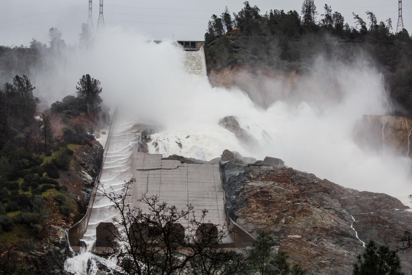
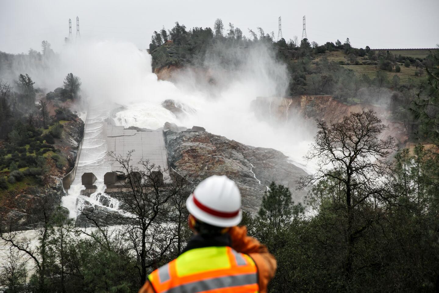
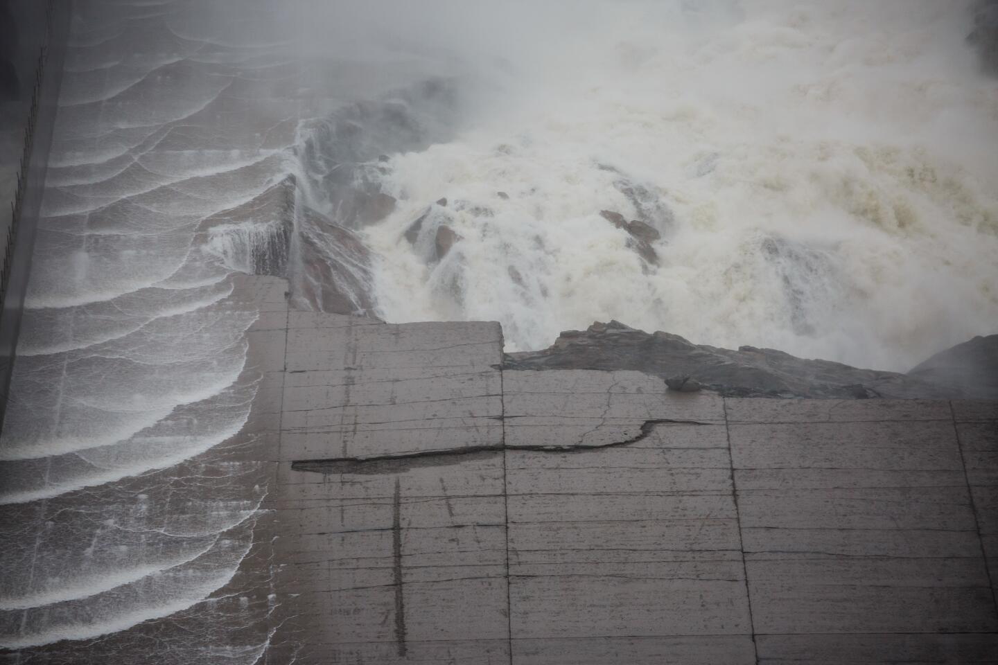
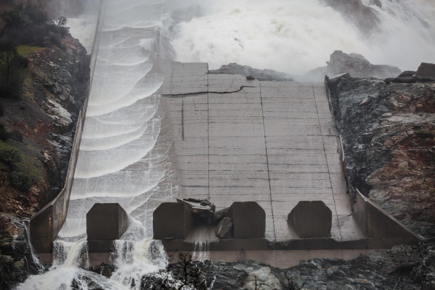
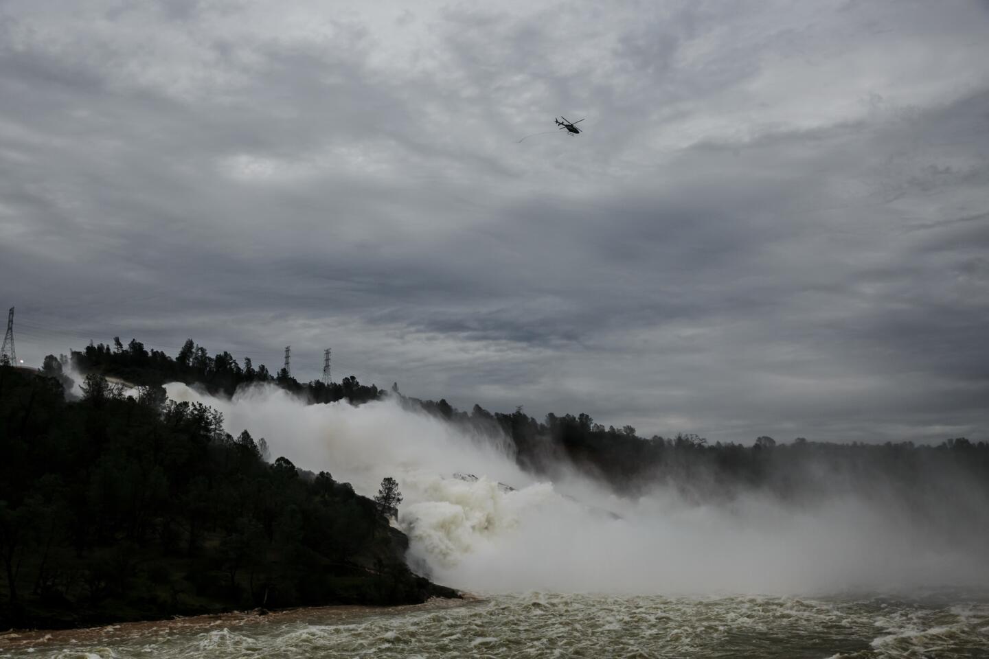
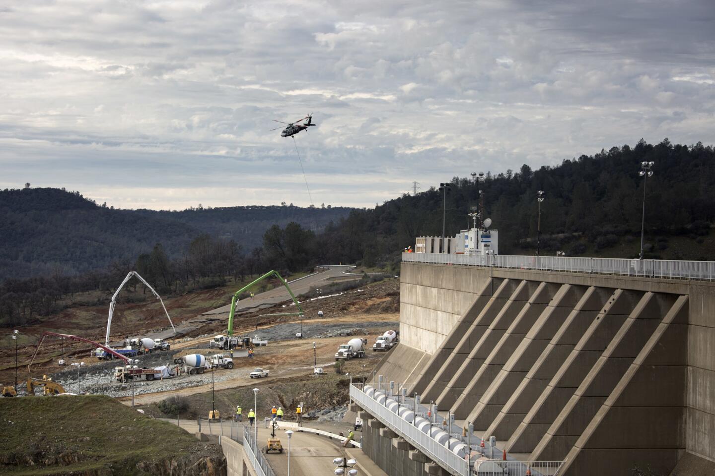
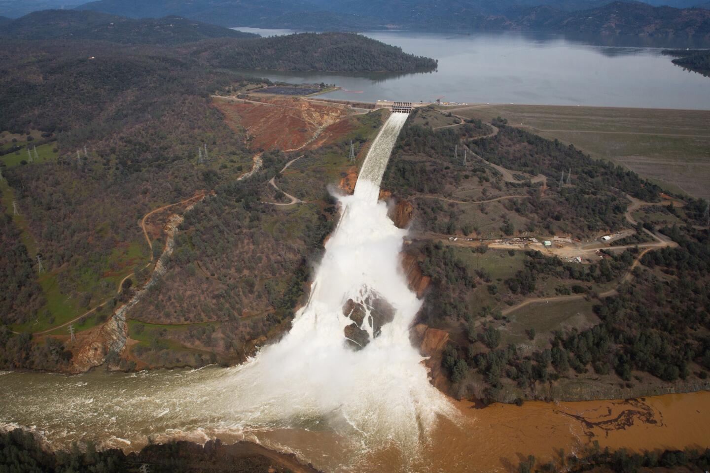
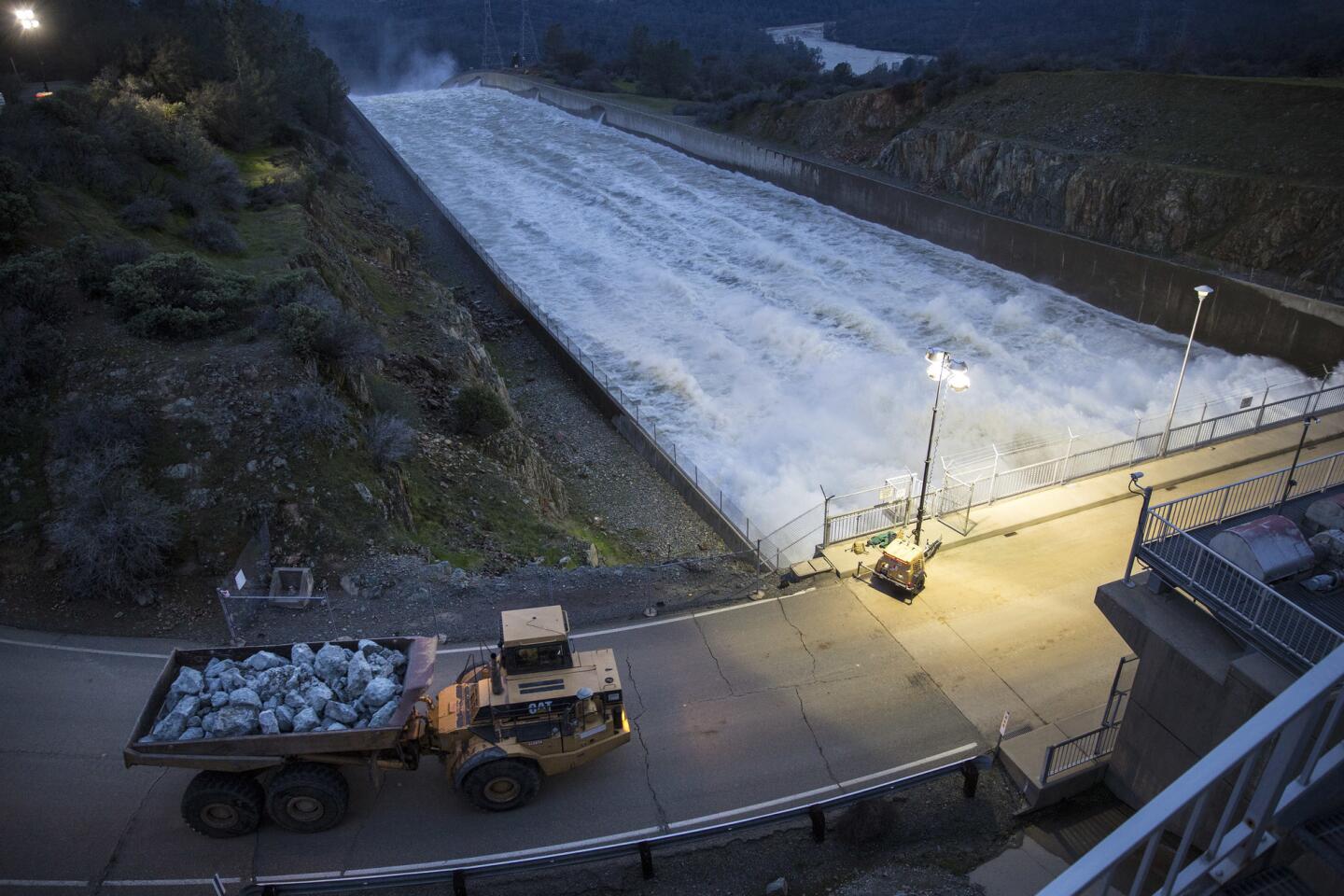
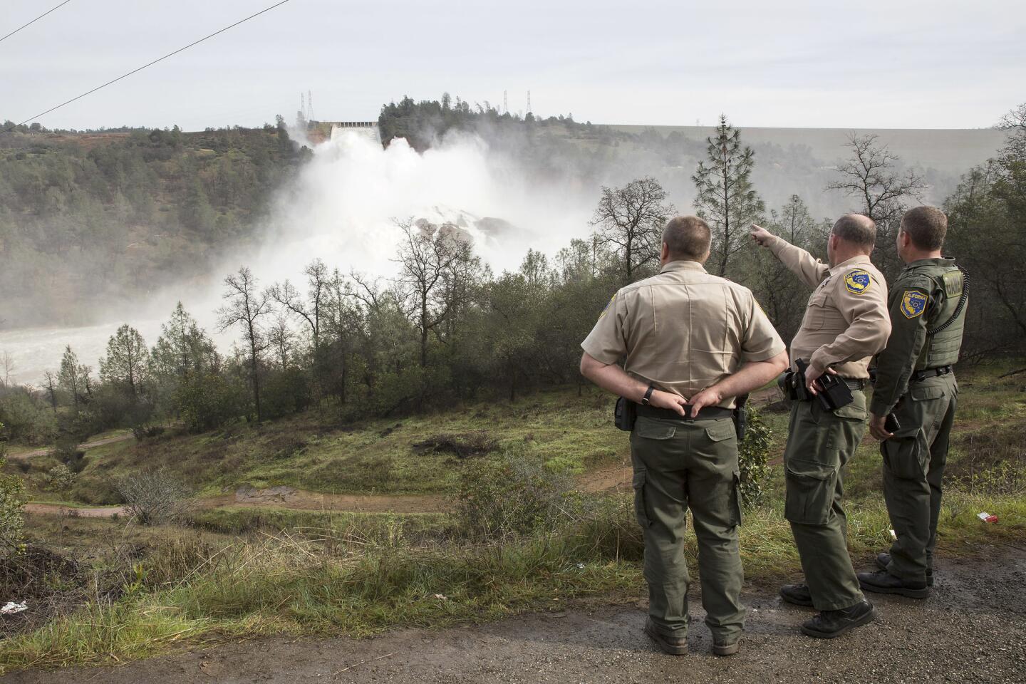
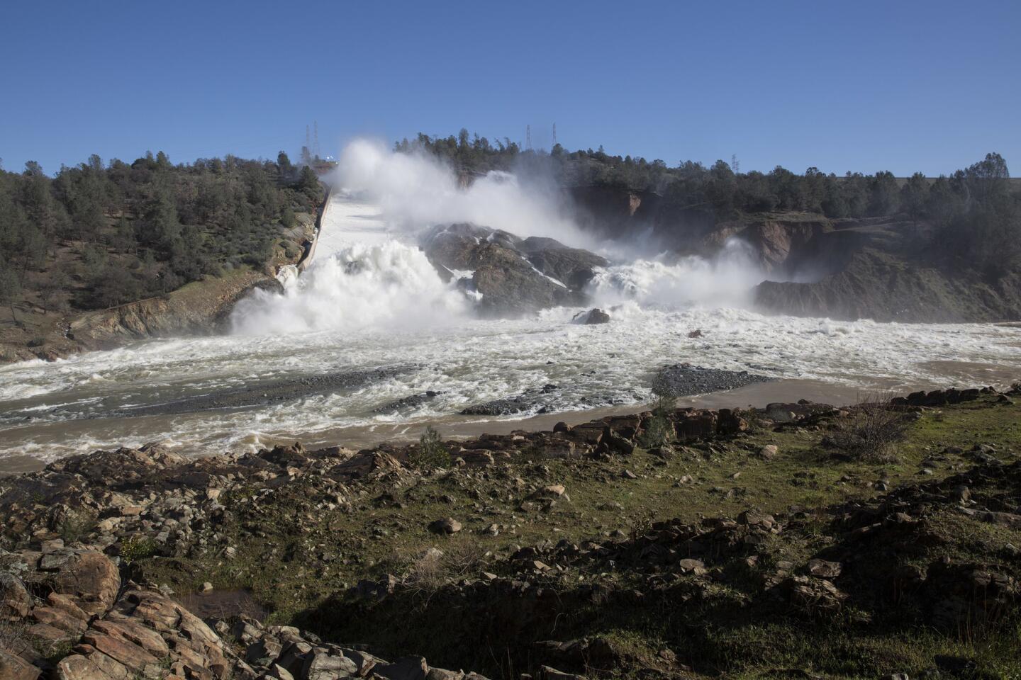
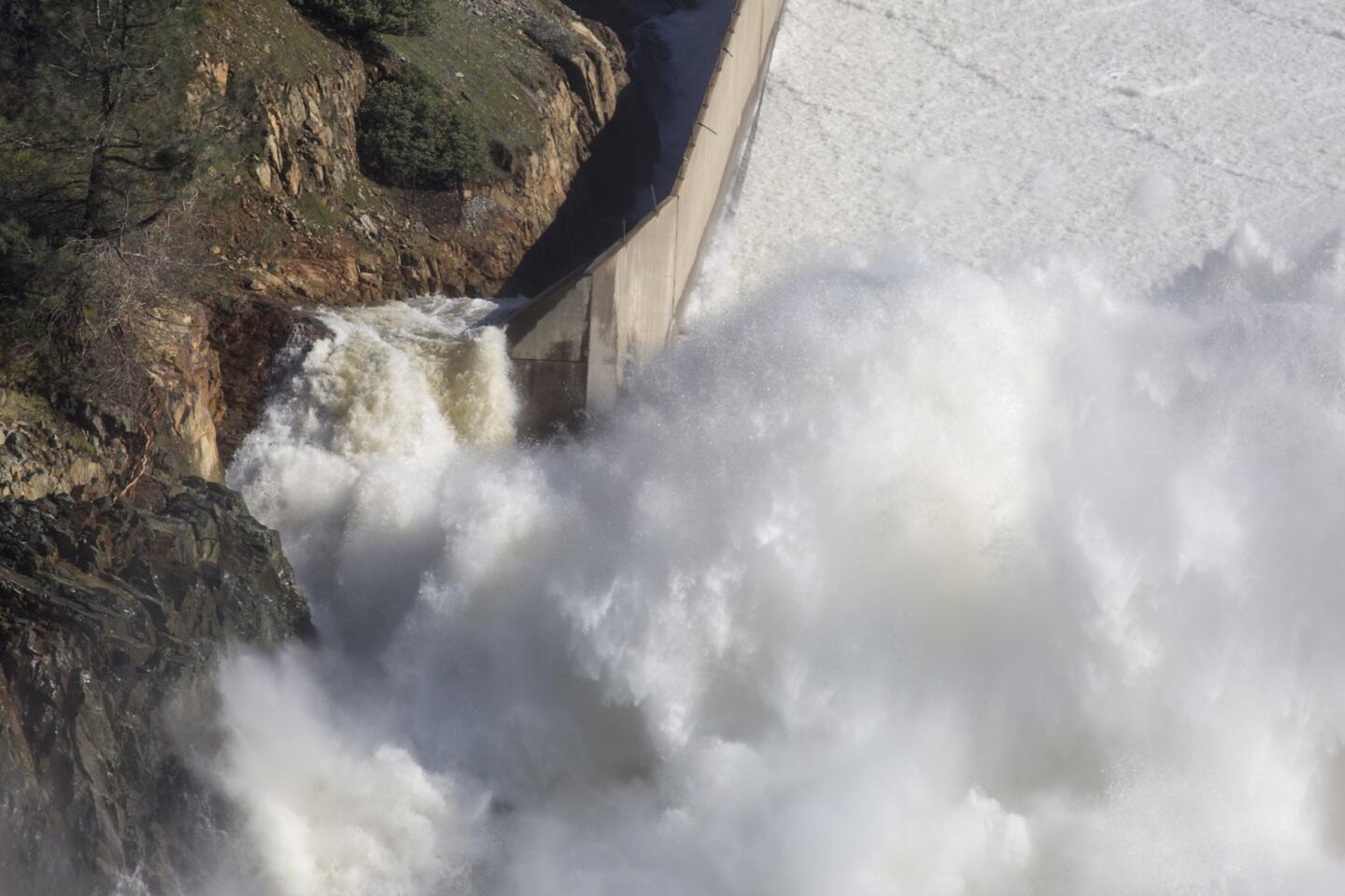
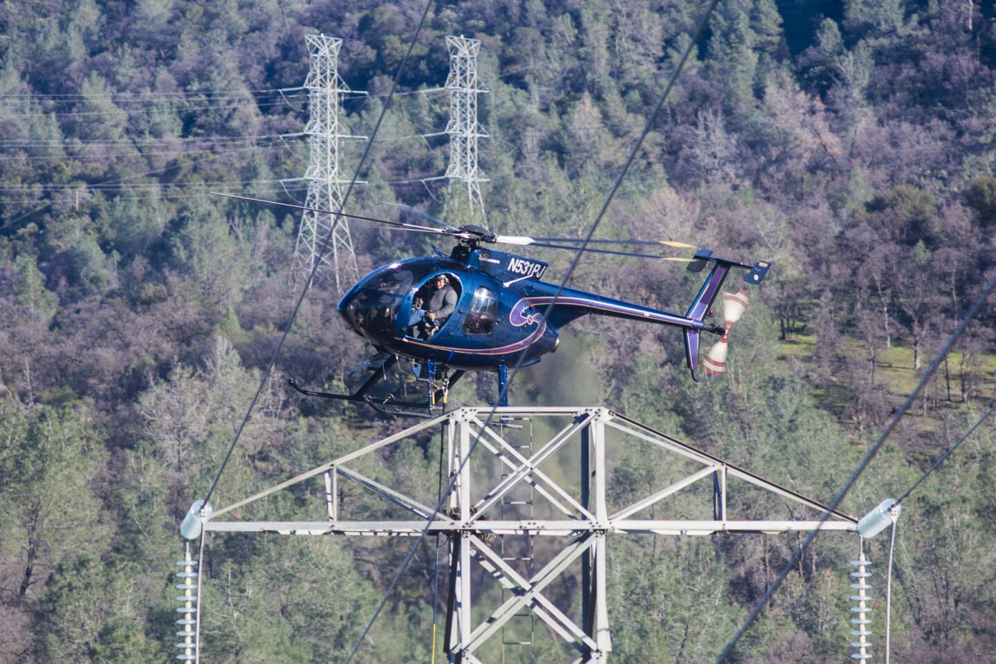
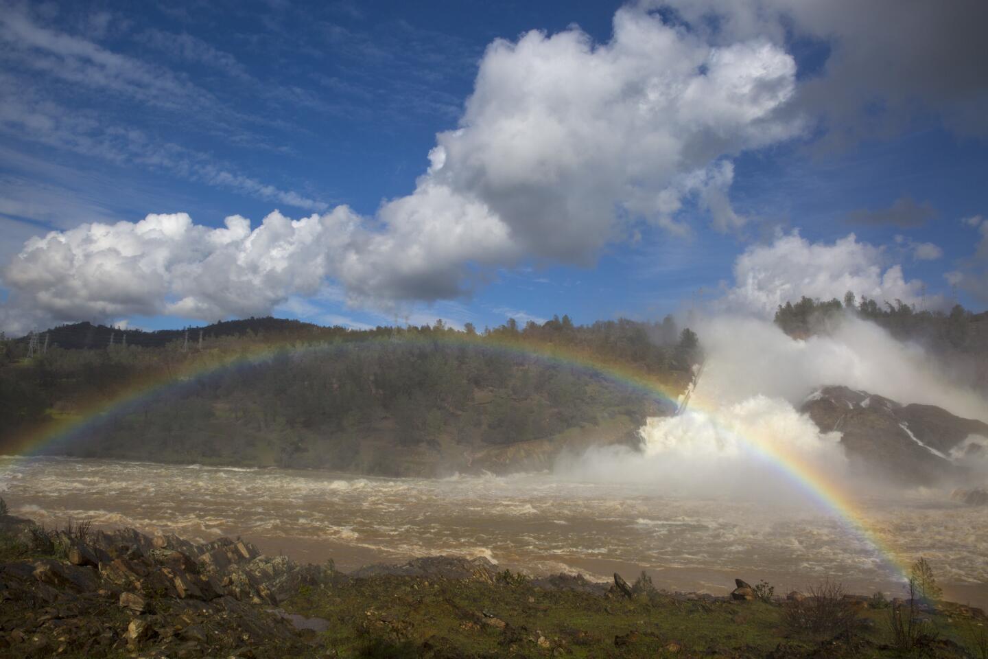
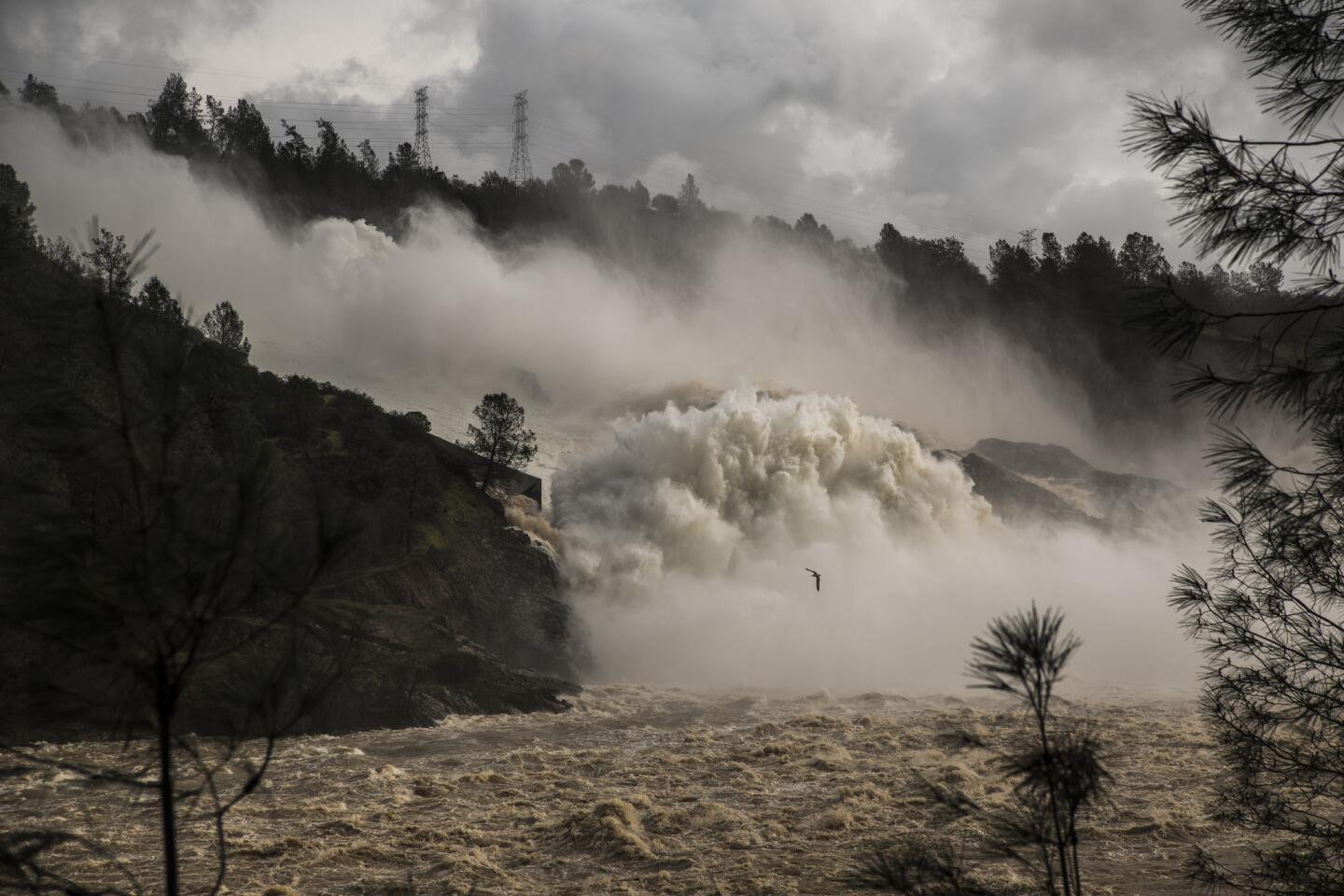
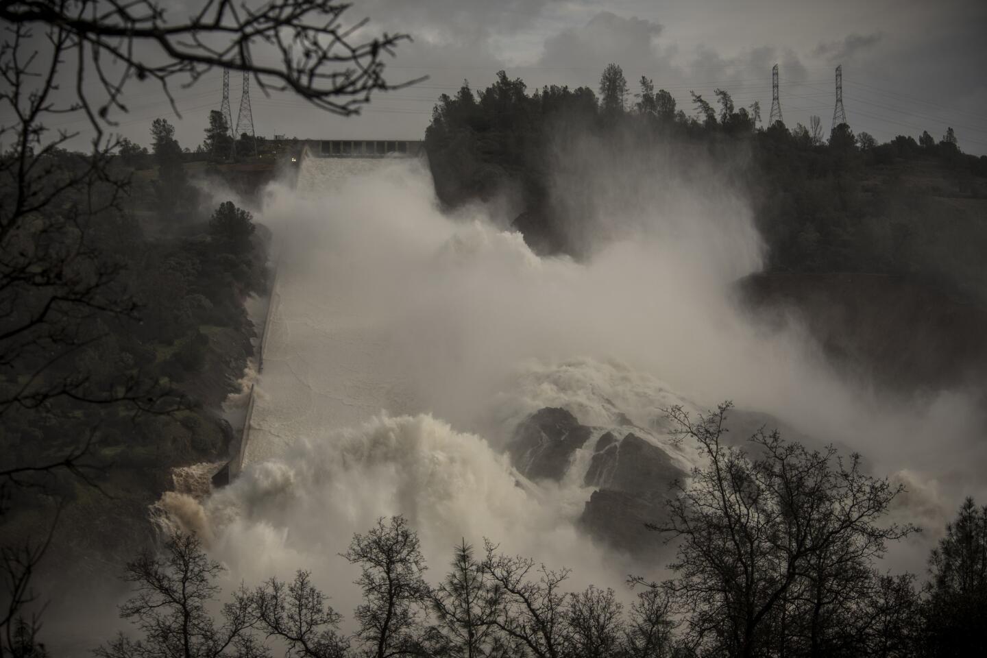
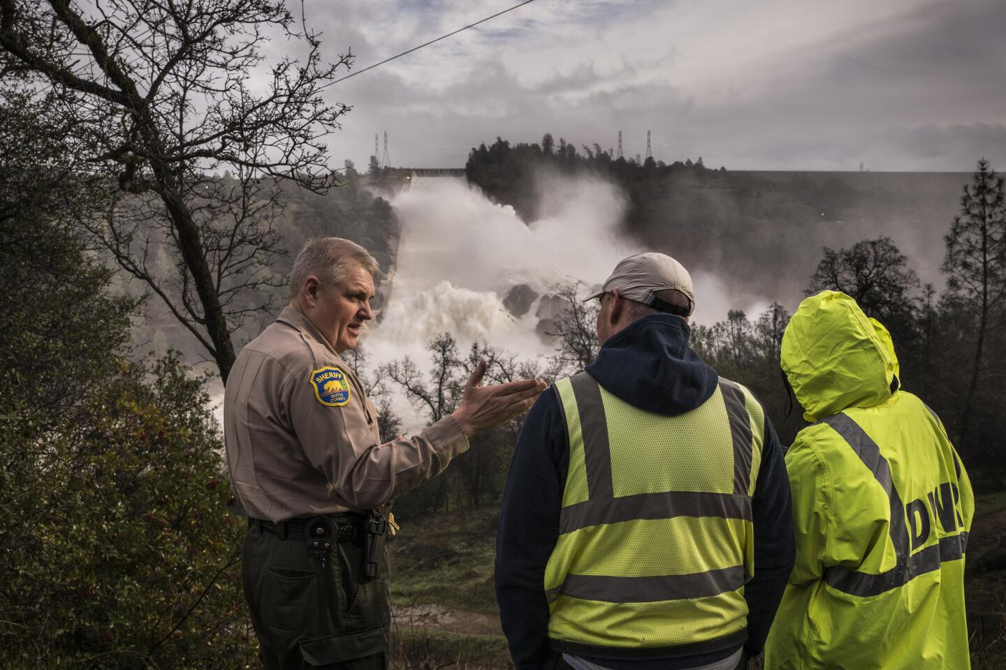
With reduced flows still surging down Oroville Dam’s main spillway on Sunday morning, the extent of the damage it has sustained was clearly visible.
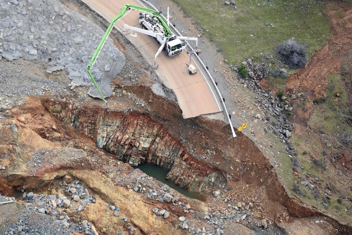
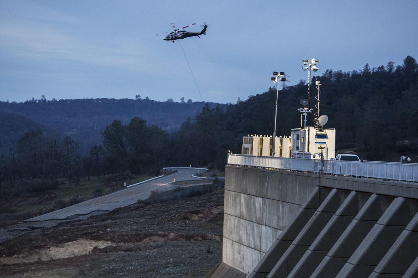
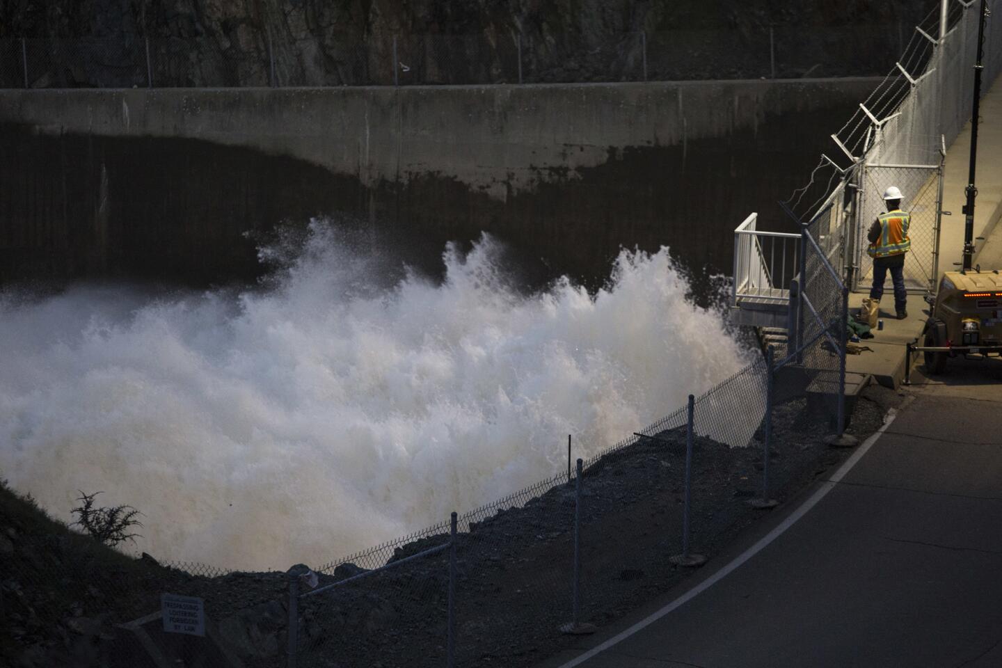
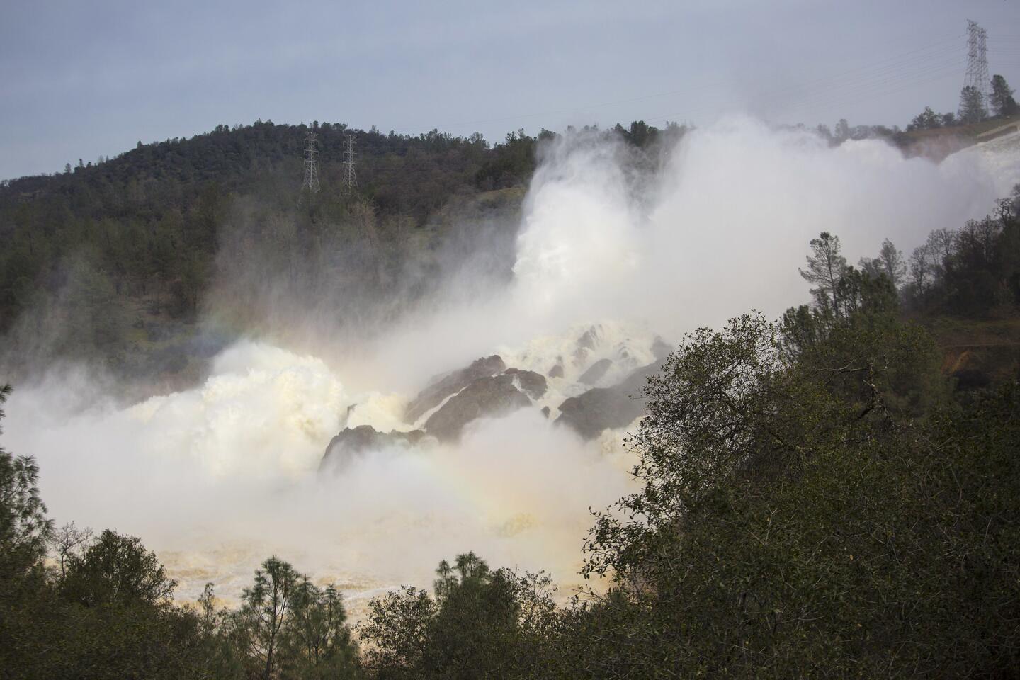
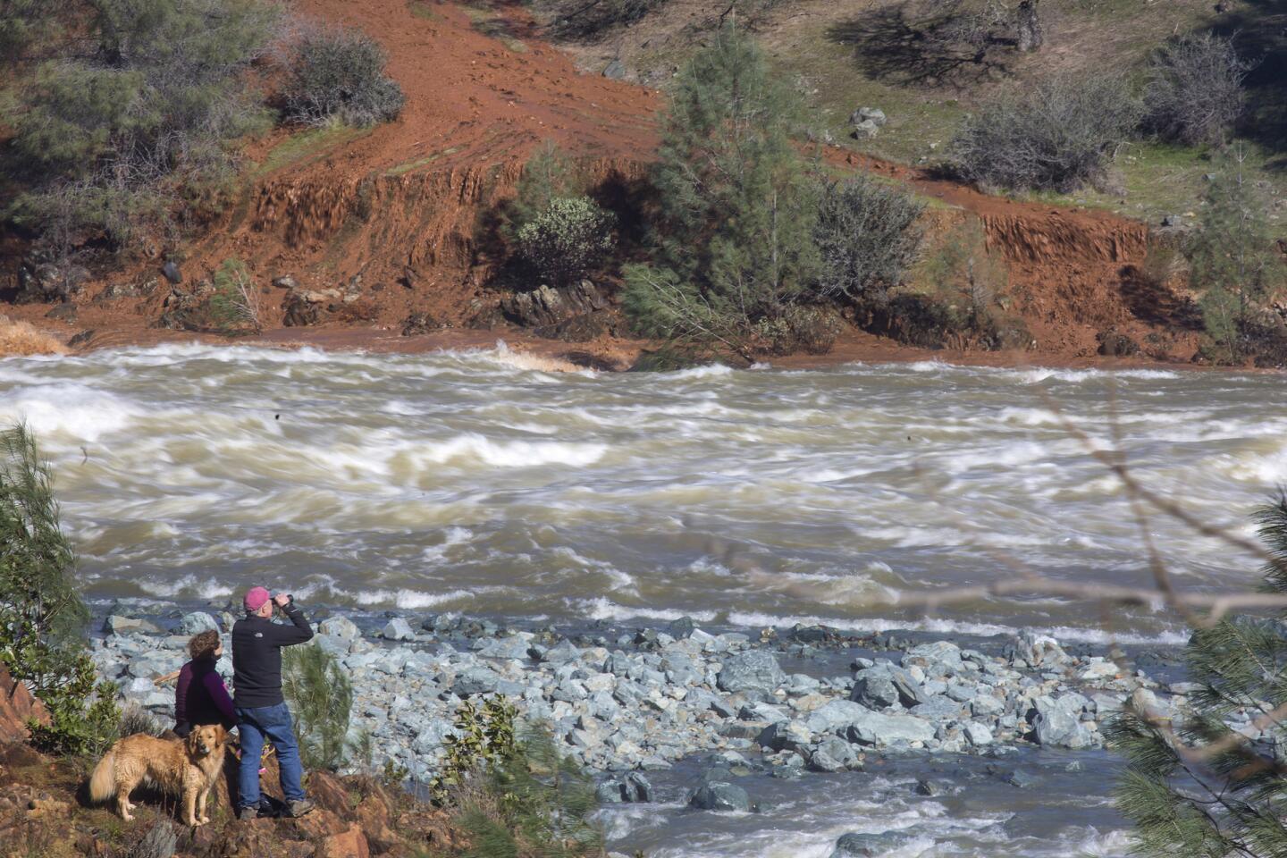
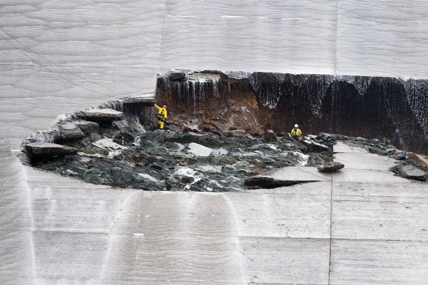
The long, concrete chute was buckled and riven with deep cracks above and below an immense jagged hole engineers discovered earlier this month. Nearly all the water being pumped out of the reservoir at 70,000 cubic feet per second was slamming into the hole, then cascading out into a fissure carved into an earthen slope next to the nation’s tallest dam.
California Department of Water Resources officials had been pumping water at 100,000 cubic feet per second for several days to absorb storm runoff and prevent the reservoir from overflowing, as it did a week ago. The tremendous force of that torrent and the debris it carried contributed to the growth of the hole.
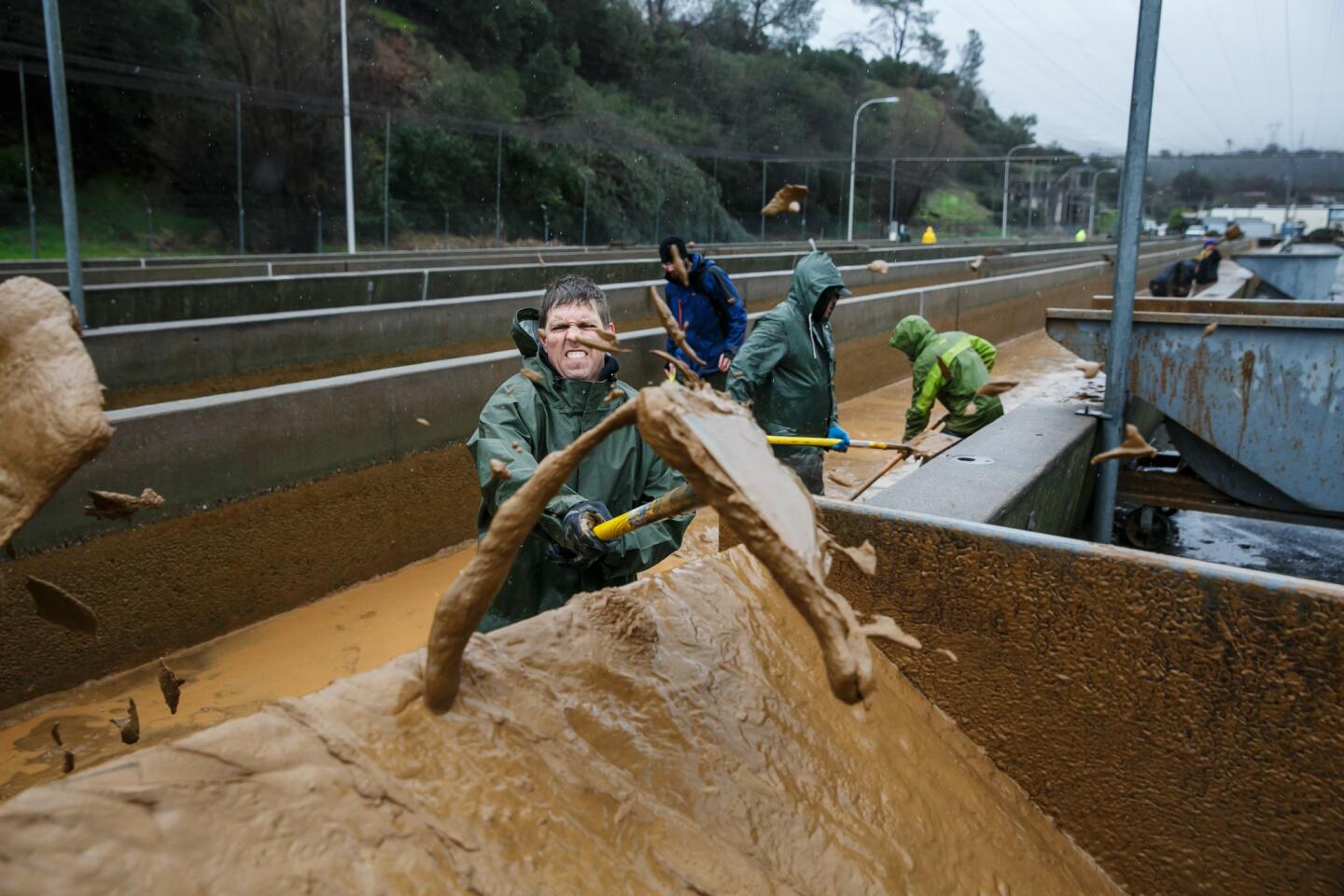
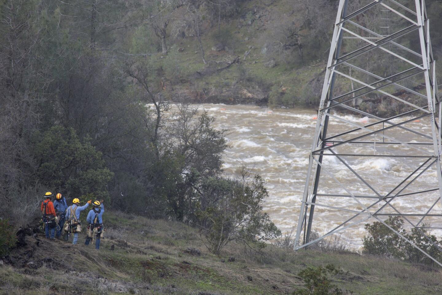
Over the weekend, agency engineers incrementally decreased the flow of water in the spillway to about 55,000 cubic feet per second in order to give construction crews room to begin removing an estimated 150,000 square yards of debris that has accumulated in a pool at the bottom, forcing the closure of a nearby underground hydroelectric plant.
It is all part of the effort to pump enough water out of the lake to absorb runoff from incoming storms and to keep the lake from overflowing.
As of Sunday, the estimated costs of shoring up the dam’s main spillway and adjacent emergency spillway had climbed to more than $10 million, according to a report reviewed by The Times.
The area will be under a flood watch Monday and Tuesday, when the new storm is forecast to dump as much as 10 inches of rain on the Feather River Basin. The National Weather Service also warned that the storm is expected to be packing strong winds that could hurl waves in the reservoir toward the 700-foot-tall dam.
Sahagun reported from Oroville, and Kohli from Los Angeles.
[email protected] | @LouisSahagun
[email protected] | @Sonali_Kohli
UPDATES:
11:28 p.m.: This article was updated with new warnings from the National Weather Service.
2:50 p.m.: This article was updated with information about sandbagging operations.
2:20 p.m.: This article was updated with a list of rivers and other waterways in danger of flooding.
12:15 p.m.: This article was updated with more detailed information from Oroville Dam officials.
This article was originally published at 10:40 a.m.
More to Read
Sign up for Essential California
The most important California stories and recommendations in your inbox every morning.
You may occasionally receive promotional content from the Los Angeles Times.
