Los Angeles County seeks flood control improvements in face of climate change

- Share via
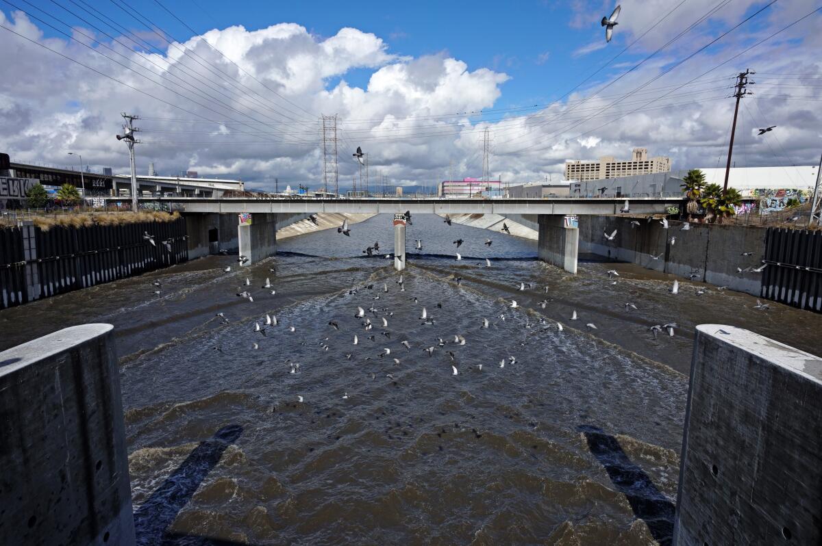
Catastrophic flooding prompted civic leaders and engineers a century ago to begin taming the Los Angeles Basin’s rambunctious rivers with dams, storm drains and concrete.
Now, scientists warn that, in a warming world, the region can expect an increase in epic downpours that could rapidly overwhelm its aging flood control system, unleashing floodwaters across low-lying working-class communities.
On Tuesday, the Los Angeles County Board of Supervisors approved a motion calling on the Department of Public Works to prepare a report on the viability of existing flood control infrastructure, as well as plans for reducing flood risks and making disadvantaged communities more resilient.
Researchers say flooding from a 100-year storm could impact up to 1 million people in and around Los Angeles, 30 times more than previously estimated.
The motion authored by Supervisor Janice Hahn was spurred by a recent study led by UC Irvine researchers. The report is intended to provide county officials with data needed to determine how hard and where flooding will hit hardest, and to roll out tools and apps that would help expedite recovery.
“The latest available scientific data warns that the potential for a catastrophic flood is real,” Hahn said, “and that it would be most devastating to communities of color in low-lying neighborhoods.”
“Now, the county needs to take a hard look at our infrastructure and see what we can do to protect these communities if and when the storm we are all worried about comes,” she added. “I am sure some of the challenges this report will lay out will be daunting, but we are not going to abandon these communities.”
The study, which was published in the journal Nature Sustainability, is among the first to examine how weather extremes due to climate change may affect the region, whose development was guided by social and racial divisions that favored white residents.
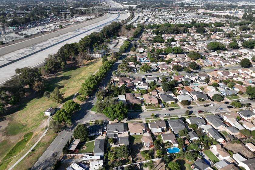
The study’s unprecedented combination of high-resolution flood modeling and socioeconomic data indicates that major floods would occur between the Dominguez Channel on the west and the Los Angeles River on the east.
Communities at highest risk include Carson, Paramount, Compton, Bell Gardens, South Gate, North Long Beach and portions of downtown Long Beach, including the southern end of Pine Street near the Long Beach Convention Center.
Despite worsening drought conditions, global warming has already doubled the odds that California will experience a catastrophic ‘megaflood.’
The analysis of data from 1,767,588 land parcels within about 2,700 square miles indicates that about 874,000 people and up to $108 billion in property stretching from the Santa Monica Mountains south to Long Beach face flood risk.
That’s roughly 30 times more people at risk than what the Federal Emergency Management Agency suggests, according to Brett Sanders, a professor of civil and environmental engineering at UC Irvine.
Until recently, it was thought that a flood event of that magnitude was likely to occur every 1,000 to 10,000 years. New research, however, suggests that the chances of seeing another one of that scale over the next 40 years are about 50/50.
“Severe weather events and increased flood risk are inevitable impacts of climate change,” said Mark Pestrella, director and chief engineer of the Los Angeles County Flood Control District. “The Board’s action today aligns with the county’s sustainable plan to make infrastructure improvements that reduce flood risk, increase local water supplies through stormwater capture and groundwater recharge, and improve water quality across the county.”
Now, one of the U.S. Army Corps of Engineers’ top priorities in Southern California includes spending an estimated $600 million to upgrade the 63-year-old Whittier Narrows Dam, built in a natural gap in the hills about 11 miles east of downtown Los Angeles.
The earthen dam was placed in the agency’s highest risk category when it determined three potential failure modes threatened more than 1 million people downstream from Pico Rivera to Long Beach.
They include the premature opening of the San Gabriel River Spillway gates, erosion resulting from water piping through the foundation of the dam and overtopping during an extreme flood event.
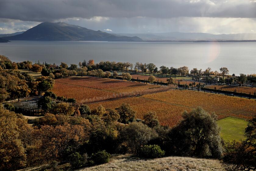
With a growing sense of sorrow, the Pomo Indian tribes of Clear Lake are watching a generations-old symbol of abundance fade into extinction.
“Our infrastructure was built at a time when the county only cared about two things: economic development and safety from damaging storms,” Sanders said. “Now, we have an opportunity to rebuild it with a new set of goals.”
“Today, we care about drought, heat waves and conserving water,” he said. “We want rivers with trees and ecological links to the land around them.
“We also want to ensure that all communities are equally served by infrastructure,” he said.


