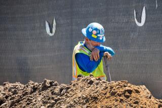
Downtown L.A. hasn’t hit 80 degrees in 59 days — a new record for May and June
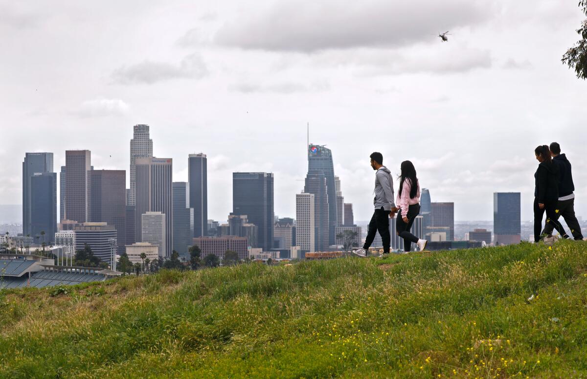
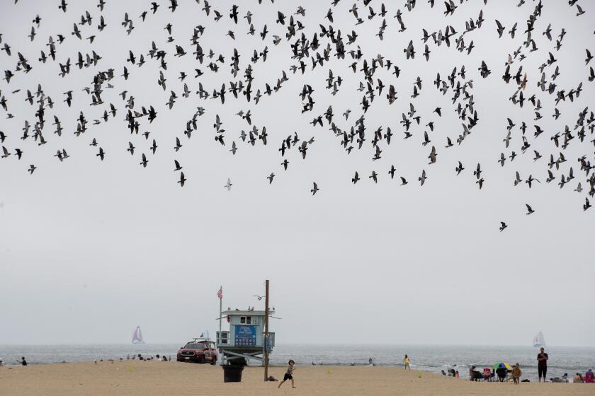
This year’s May gray and June gloom weather conditions have been more than just depressing and dreary: They have set a record for the longest stretch of cool and overcast weather.
Downtown Los Angeles has recorded 59 consecutive days of temperatures below 80 degrees, the longest stretch ever recorded in May and June at the National Weather Service’s downtown L.A. weather station. Thursday is expected to push that trend to 60 straight days.
Joe Sirard, a meteorologist with the NWS at Oxnard, attributed the extended gloominess to “a persistent upper-level trough of low pressure over the West Coast extending into Southern California.”
“It kept things below normal temperature, weather-wise,” he added.
Such patterns “increase onshore flow, increase cloud cover,” producing occasional rain and a “deep marine layer,” he said. May and June are usually Southern California’s cloudiest months, Sirard said, but the persistence of the trough made it even more so this year.
Southern California’s May gray has been stubborn. Here’s an explanation. But be prepared for June gloom.
Every year on record has had at least two downtown days over 80 degrees during May and June. With just Thursday and Friday remaining in the month, there could be zero such days this year, unless one or both exceed their forecast high.
“Usually in May and June we should have at least a few days at 80 degrees,” said Ryan Kittell, another meteorologist with the NWS at Oxnard. The last 80-degree day in downtown L.A. was April 22.
“If we don’t reach it today,” he said of the 80-degree mark, “it would be the record for the fewest days in May and June,” with at most one day above 80 degrees.
Before 2023, there were three years on record with just two days above 80 degrees in May and June: 1905, 1916 and 1935, he said.
With Friday’s forecast showing a high of 79, “we’re knocking on the door,” Kittell said. Without a doubt, he acknowledged, this year has been “more gloomy and cooler than normal.”
‘Any spark from fireworks could easily start a fire in the tall grass crop that has cured and turned brown in recent weeks,’ the weather service says.
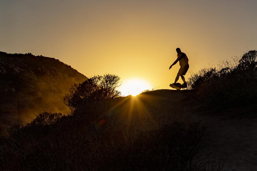
But Southern California residents are expected to get a break from the gloom, with a heat wave forecast for the weekend.
The NWS has predicted an “excessive heat watch out for the interior areas” — deserts, mountains and valleys — in effect for Saturday and Sunday when temperatures should peak to highs of 100 to 110 degrees, Kittell said.
Along the coast, “it’s still our low clouds and fog season,” likely tempering the heat. “If they do stick around,” he said of the clouds, “then beaches should be warm, warmer than they’ve been, but not hot.”
Beach highs will be in the 70s, with inland zones like downtown L.A. seeing highs in the 80s and the San Gabriel and San Fernando valleys reaching the 90s.
A likely outcome will be the first 80-degree day in downtown L.A. since April arriving on July 1 — putting an end to this year’s extra bleak May gray and June gloom conditions.
More to Read
Sign up for Essential California
The most important California stories and recommendations in your inbox every morning.
You may occasionally receive promotional content from the Los Angeles Times.

