After a sunny weekend, June gloom is back with clouds, cold and chance of storms

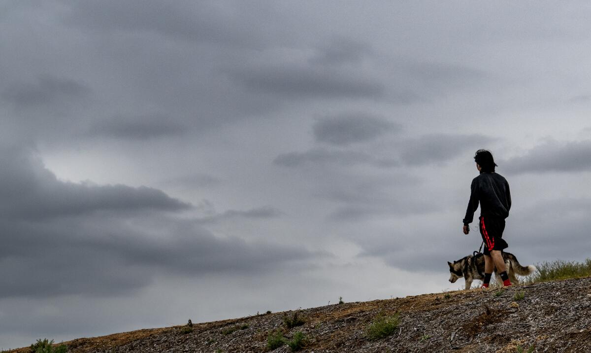
After a warm weekend of temperatures in the 70s, June gloom is expected to be at full force this week, bringing overcast skies, colder conditions and a chance of rain and thunderstorms to Southern California.
A low-pressure system is forecast to usher in cooler weather through Wednesday and is likely to linger the rest of the week, resulting in overcast skies and low clouds, according to the National Weather Service.
A marine layer at 3,500 to 4,000 feet has brought low clouds to the coasts, valleys and mountain passes.
During the months of May and June, the upper atmosphere tends to be more stagnant, but troughs of low pressure still pass over the region, resulting in the low clouds characteristic of “May gray” or “June gloom.”
The marine layer forms when the layer of air near the ocean’s surface is cooler than the air above it, an “inversion” of abruptly warmer air that traps the cooler air and forms clouds.
Southern California’s May gray has been stubborn. Here’s an explanation. But be prepared for June gloom.
Temperatures will be in the 60s to low 70s in the Los Angeles area this week into next week, according to National Weather Service meteorologist Mike Wofford.
“Most of this week, we’re going to have a deep marine layer, which is our typical morning phenomenon,” Wofford said, “but this week it’s going to be lingering through much of the afternoon.”
Parts of the region got drizzle on Monday morning.
The Santa Monica Mountains, Bel Air, Pasadena, Whittier and Claremont received 0.01 inches of rain. Southern Santa Barbara County recorded 0.20 inches.
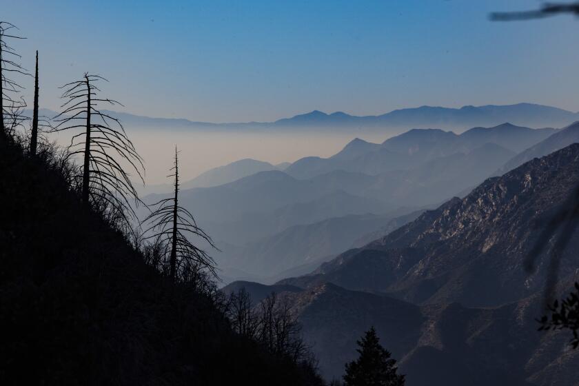
The marine layer can offer incredibly dramatic views — if you know how to get above it.
There was a 20% to 30% chance of showers Monday afternoon in the mountains of Los Angeles and Ventura counties, San Luis Obispo and Santa Barbara counties, and the Antelope Valley.
On Monday night, much of San Luis Obispo and Santa Barbara counties, as well as the Ventura County Mountains and the Interstate 5 corridor, had a 20% to 40% chance of seeing storms.
By Tuesday to Wednesday evening, chances will drop to 20% for showers in San Luis Obispo, Santa Barbara, Ventura and Los Angeles county mountains, as well as the Antelope, Cuyama and San Luis Obispo interior valleys.
The weather service recommended planning outdoor activities earlier in the day before the arrival of any precipitation and avoiding driving across flooded roads. Potential impacts included gusty winds, small hail and lightning.
More to Read
Sign up for Essential California
The most important California stories and recommendations in your inbox every morning.
You may occasionally receive promotional content from the Los Angeles Times.


