Lingering rain from Kay raises flood concerns, triggers outages in SoCal

- Share via
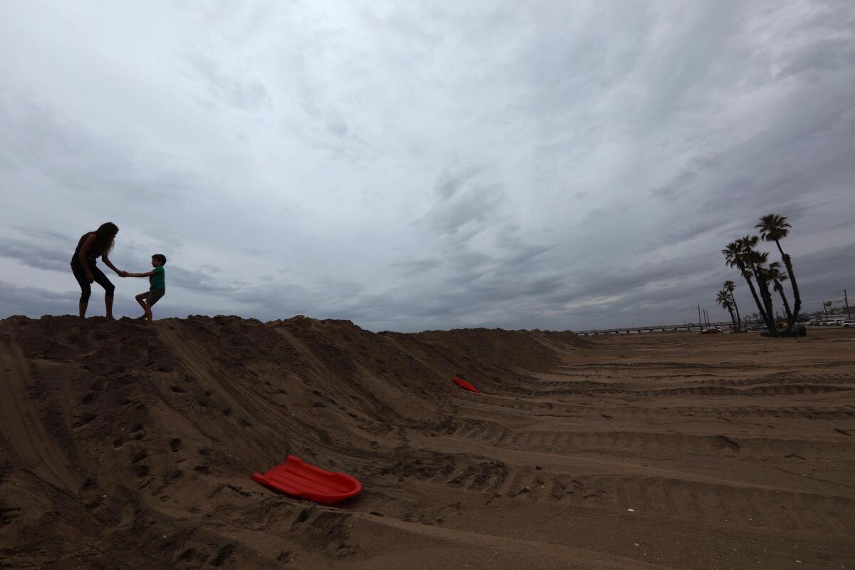
The remnants of Tropical Storm Kay could cause thunderstorms and flooding Sunday and early into the week in Southern California, particularly in the interior mountains and deserts, according to the National Weather Service.
A flash flood watch was in effect Saturday for mountain and desert areas in Los Angeles, Ventura and San Diego counties, as well as the Inland Empire.
Thunderstorms on Sunday “may be slower moving” than Saturday’s, which elevates the risk of flooding if rain continues to pound the same areas, Robbie Munroe, a meteorologist with the National Weather Service in Los Angeles, said Saturday. “That’s something we’ll be looking at closer today.”
In San Diego County, “we’re going to see scattered showers lingering across the area” Sunday and Monday, said Casey Oswant, a meteorologist with the National Weather Service there. “Showers are most likely in the mountains but could drift west into the valleys or east into the deserts at times.”
The region can expect “a slight chance of thunderstorms each afternoon as well, with all that leftover tropical moisture” as Kay moves out of the area, Oswant added. But the region has largely avoided the flash floods and coastal inundation that had been forecast as the tropical storm made a rare approach north toward the California-Mexico border, causing gusts exceeding 100 mph in the mountains of San Diego County, bringing Miami-style humidity and churning up heavy surf.
Are you in a flood zone? Here’s how to find out and some other safety tips.
Perhaps most important, the storm brought Southern California relief from the punishing temperatures earlier in the week. Temperatures are expected to remain in the 80s early next week but will be lower at beaches and some mountain areas. Some areas may cool further with the return of low clouds, Munroe said.
“We’ll start to warm up a bit toward the end of the week,” Oswant said, “but it’ll stay closer to seasonal temperatures for this time of year.”
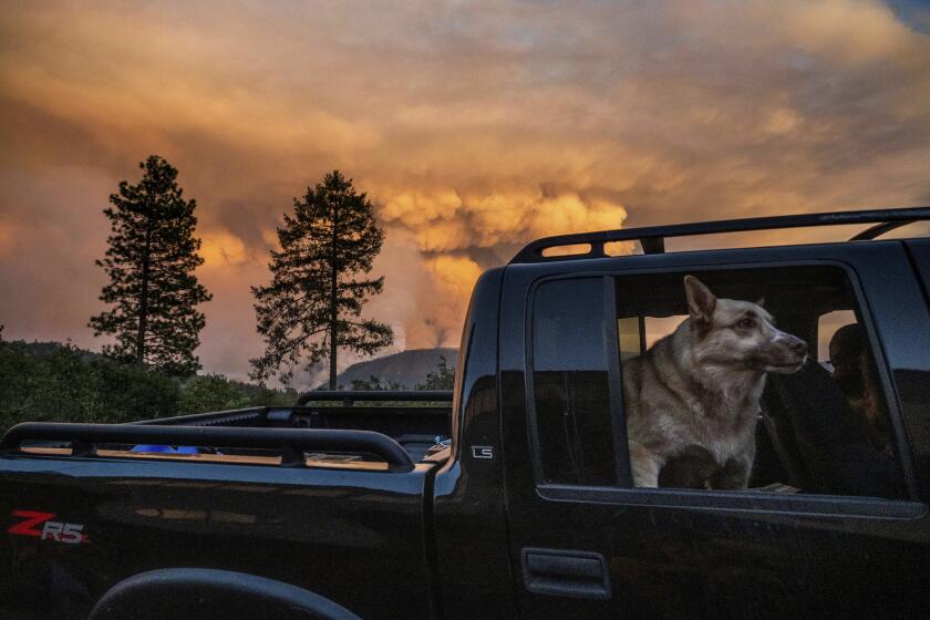
In Northern California, falling temperatures were welcome news for crews battling the Mosquito fire, which had grown to more than 33,000 acres Saturday and spurred evacuation orders for thousands of people in Placer and El Dorado counties. Officials of the California Department of Forestry and Fire Protection tweeted Saturday that the fire continued to threaten structures and power lines.
Chris Vestal, a public information officer with the Sacramento Metro Fire District who is spokesperson for the Mosquito fire, said officials were keeping a close eye on wind patterns to see if they would shift.
“We are optimistic of the fact that we are making progress, and we are hopeful that the winds stay as light as forecast,” Vestal said. He noted that the steep terrain was complicating the effort to build strong containment lines.
Firefighters battling the Fairview fire near Hemet were also relieved by the rain, with the extra moisture saturating the area and mitigating the threat posed by high winds, said Rob Roseen, a spokesman for Cal Fire/Riverside County Fire Department.
“We did receive some of these winds, but the rain came much earlier than expected,” Roseen said. “We do still have fire rooted in some of those tree trunks and things of that nature, and there’s definitely still fire work to be done, but largely the fire has been reduced.”
Some residents of northern Temecula who had been evacuated began returning to their homes Friday night, he said.
The fire has mushroomed to nearly 30,000 acres. Firefighting and evacuations are challenging because of the rough terrain east of Sacramento.
As of Saturday morning, Tropical Storm Kay was roughly 250 miles southwest of the San Diego coast. For normally dry September, the storm easily broke rainfall records in San Diego, Escondido, Vista, Los Angeles and Burbank.
San Diego recorded 0.61 inches of precipitation Friday — exceeding the record for the date of 0.09 inches, set in 1976. More than 5 inches of rainfall were recorded over two days at Mount Laguna in San Diego County.
Tens of thousands of people in the Los Angeles area had lost power as of Saturday morning, including in Pico-Union, Hollywood and other neighborhoods from Sylmar and San Pedro. The Los Angeles Department of Water and Power said more than 24,000 people remained without power as of midmorning Saturday, and another 30,000 had gotten power restored after outages in the previous 24 hours that ranged from minutes to hours, according to spokesperson Mia Rose Wong.
“Crews are working incredibly hard and as fast as they can,” Rose Wong said. “They’re going to work around the clock until all power is restored.”
By early afternoon Saturday, nearly 13,000 customers remained without power, DWP said, estimating that its crews were taking 12 to 24 hours to respond after an outage was reported. The department said that during heavy rain and wind storms, the most frequent cause of power outages is flying debris, such as tree branches and palm fronds, hitting power lines.
“This is particularly true with the first rain after an extended period of time, and especially after the dry conditions like the kind the region has seen as a result of the drought,” the department said in a statement.
The rain spurred an advisory from the Los Angeles County Department of Public Health, which cautioned residents to be careful about swimming, surfing or playing in the ocean amid concerns about contamination from storm-drain discharge, which can include bacteria, chemicals, trash and other health hazards.
More to Read
Sign up for Essential California
The most important California stories and recommendations in your inbox every morning.
You may occasionally receive promotional content from the Los Angeles Times.


