More rain and snow for Southern California ahead of New Year’s Eve

- Share via
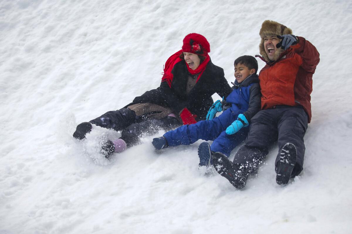
A cold, wet holiday season will continue this week with two winter storms hitting Southern California and Northern California grappling with heavy accumulations of snow and rockslides that have closed off the Tahoe area.
For the record:
12:56 p.m. Dec. 27, 2021An earlier version of this article incorrectly stated California’s new snowfall record for December was 193.7 feet of snow, measured by the UC Berkeley Central Sierra Snow Lab and breaking the previous record of 179 feet of snow from 1970. Those measurements are in inches, not feet.
The first Southern California storm arrived in the Los Angeles region Monday afternoon, with a second storm expected Tuesday night that could linger into Friday morning. Significant rain, mountain snow and wind gusts are likely, as are localized flooding, debris flows and additional travel delays. The forecast for the end of the week is uncertain, but New Year’s Eve in Los Angeles is expected to be cold and dry.
Meanwhile, all major roads in and out of Tahoe have shut down, stranding skiers and other travelers.
“Right now, there’s no in or out of the Tahoe area,” said Steve Nelson, a Caltrans spokesman in El Dorado, Tahoe and Placer counties. “Highways, everything is shut down.”
Joe Sirard, a meteorologist with the National Weather Service in Oxnard, described Monday’s storm as a “quick-hitter” that will move through L.A. County in about six or eight hours, with only light rain and snow showers lingering after about 9 p.m.
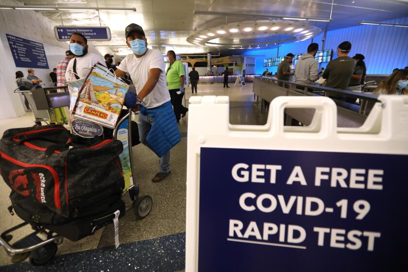
At least 87 flights in or out of LAX were canceled Sunday as holiday travelers tried to get back home.
But the front will bring temperatures in the 40s and 50s and mountain snow levels to 2,500 to 3,500 feet. Travel along the 5 Freeway through the Grapevine could get dicey, officials said.
The incoming system has prompted a winter storm warning in the mountains of Los Angeles, Ventura, Santa Barbara and San Bernardino counties through late Monday. Heavy snow, gusty winds, icy roads and low visibility will make for dangerous driving conditions at higher elevations, and residents are advised to avoid travel if possible.
“If you must travel, keep an extra flashlight, food and water in your vehicle in case of an emergency,” the warning says.
A freeze watch also was issued for the Santa Clarita Valley and Ventura County valleys from late Monday night through Tuesday morning. Overnight frost advisories may be issued for the Central Coast, the southern coast of Santa Barbara County and the coast of Ventura County.
The storm has already created trouble for residents in Northern California, where active rockslides and mounting snow have made a mess of travel and contributed to significant hazards.
Nelson of Caltrans said authorities are warning travelers to stay off mountain highways and roads. Interstate 80, Highway 50, Highway 89 and all alternative routes will be closed until road crews can clear them, he said.
“It’s not just clearing snow,” Nelson said. “We’ve got downed trees and power lines. Other departments and utilities have to go in. We’re working as fast as we can.”
More than 100 trees have fallen on Highway 50, and downed power lines pose a significant risk on Interstate 80, he said.
Anyone staying in the Lake Tahoe area should remain in place until authorities have made the roads and highways safe for travel again, Nelson said.
As of Monday night, there was no estimated reopening time, he said. Travelers should check the Caltrans website, dot.ca.gov, call (800) 427-7623 or check Caltrans social media accounts for updates.
In Truckee in Placer County, search and rescue teams are looking for a skier who went missing on Christmas Day. Rory Angelotta, 43, was last seen heading up a ski lift Saturday morning, officials said. Conditions have made search efforts difficult, and another storm is expected to hit the area Monday.
“We’ve had nonstop pretty severe weather conditions since Saturday night, Christmas night, and it has made it very difficult for rescuers to even get up here, let alone get out there and get out to search,” said Sgt. Mike Powers of the Placer County Sheriff’s Department.
The Caltrans map of road closures on Monday was littered with icons indicating closed roads — particularly through the Sierra Nevada, where up to 4 feet of snow has made mountain travel all but impossible. An avalanche warning in central Sierra Nevada will remain in effect until Tuesday morning.
Meanwhile, Interstate 80 was closed from Colfax to the Nevada state line because of poor visibility, with no estimate on reopening. Videos posted by the California Highway Patrol showed near whiteout conditions on the highway.
Authorities near Reno said three people were injured in a 20-car pileup on Interstate 395 on Sunday, and Highway 50 remained closed near Placerville because of heavy snow.
Closer to the coast, multiple segments of Highway 1 around San Luis Obispo and Monterey counties were closed by tumbling rocks, with officials providing few estimates for reopening.
And in the San Bernardino Mountains east of Los Angeles County, crews on Monday were working to repair a segment of State Route 18 that washed down a hillside during heavy rains. The road could remain closed in both directions from 40th Street to Highway 138 “for several days, if not weeks,” Caltrans said.
Despite the hazards and headaches, the storms are bringing much-needed moisture to drought-parched California. The UC Berkeley Central Sierra Snow Lab on Monday said the latest 24-hour snow totals brought the area to a new December record: 193.7 inches of snow, smashing the previous record of 179 inches of snow from December 1970.
Meteorologist Sirard said downtown Los Angeles has received 5.62 inches of precipitation since the start of the water year, which begins Oct. 1, thanks to December’s slate of storms. The normal value for the date is 3.28 inches.
“Just because [the season] had a wet beginning doesn’t mean it will keep going, but we hope it does,” Sirard said. “It would be extremely beneficial for California. We need the rain so desperately, so we’re all hoping and praying that this rain will continue.”
The outlook calls for more rain and snow in the L.A. area this week, although forecast models are not yet in agreement about the precise timing of the second storm, or how much precipitation it will deliver.
Sirard said the latest forecasts indicate that the storm will arrive in Los Angeles late Tuesday night, and that rain will be widespread across the region Wednesday.
There is less agreement about what will come after that.
“The jury is still out as far as exactly what kind of weather we’re going to be getting on Thursday and Thursday night,” Sirard said, but the system is potentially a “long duration event” that could stall over the area and create a rainy, snowy pattern for a couple of days.
There are some indications that showers will last into Thursday and even linger into Friday morning, he said.
By Friday night — New Year’s Eve — rain and snowfall are expected to dissipate in Los Angeles, kicking off 2022 with cool but dry conditions.
Times staff writer Gregory Yee contributed to this report.
More to Read
Sign up for Essential California
The most important California stories and recommendations in your inbox every morning.
You may occasionally receive promotional content from the Los Angeles Times.


