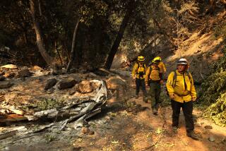
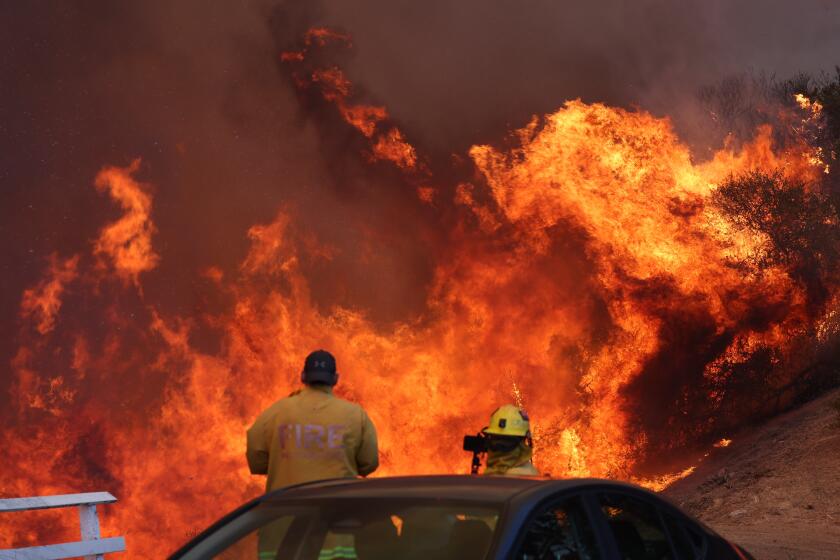
Hot, dry weather challenges crews fighting California wildfires
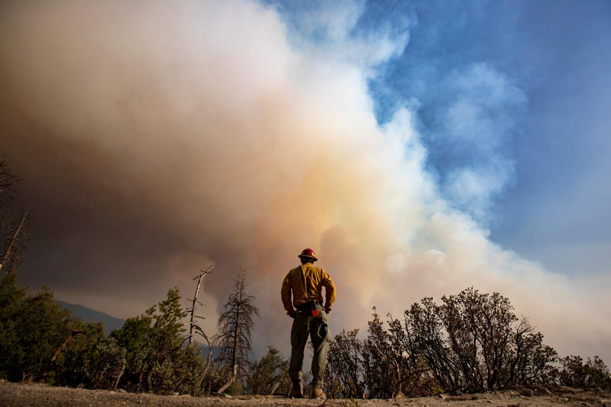
Crews faced challenging conditions as they worked to contain wildfires in the southern Sierra amid unusually warm temperatures and historic drought.
The KNP Complex fire in Sequoia and Kings Canyon National Park had burned 58,283 acres and was 20% contained as of early Saturday, when it sparked new evacuation warnings in Fresno County. Those in Sequoia Lake, Cedarbrook, Etheda Springs and Pinehurst were told to be prepared to leave.
A thick layer of smoke that had settled over the fire reduced visibility, limiting the use of aircraft, said Cassie Adams, public information officer on the incident. Crews were keeping a close eye on the weather in case the inversion lifted later in the day, which would allow the use of more aircraft but could also cause fire activity to pick up and create dangerous conditions for firefighters, she said. They were also using drones equipped with infrared cameras to conduct reconnaissance that might ordinarily be done by planes, she said.
While the smoke was mostly concentrated over the fire, some of it was draining into the San Joaquin Valley, producing poor air quality along the east side, said David Spector, meteorologist with the National Weather Service in Hanford. Temperatures in the area were five to eight degrees above normal and were expected to remain elevated through Monday, he said.
The fire was active overnight, particularly along the northwestern end where it spotted over the North Fork Kaweah River on Thursday, Adams said. It also grew to the east, near Castle Creek Grove. About 1,345 personnel were assigned to the incident.
Crews were working to keep flames from moving further north and west, toward communities in the Hartland area, using miles of dozer line that had been put in earlier as a contingency, Adams said. Firefighters were preparing structures in those communities by clearing debris and installing sprinklers and hose lays, but the line was holding as of Saturday morning, she said.
Crews also conducted back burning operations along the northern perimeter farther to the east, in the Dorst Creek area, Adams said.
“If we feel like based on the weather and fire behavior, that we have the ability to control fuels in a given area and we can safely ignite a small fire to create a thick black line that would inhibit the uncontrolled fire from crossing it, then that’s what we will do,” she said.
The fire had forced 659 people from their homes, with evacuation orders issued Friday for the communities of Big Meadows, Weston Meadows and Quail Flat in the Giant Sequoia National Monument, as well as Grant Grove, Wilsonia and Cedar Grove in Kings Canyon National Park, Adams said.
Along the southern edge of the fire, authorities on Friday downgraded to a warning an evacuation order for residents along the Mineral King Road entrance of the park.
The fire started during a Sept. 9 lightning storm and has been difficult to control as it burns through dry forests crowded with trees competing for limited moisture that has been made more scarce by climate change and drought, experts say.
California and several other Western states endured the hottest summer on record. And preliminary data indicates that the water year, which ended Sept. 30, was the driest on record for multiple areas in Northern California, including Redding, Red Bluff and Sacramento, the National Weather Service said Saturday.
Farther south in the Hanford forecast area, the picture looked less dire, but there were still areas that ranked in the top 10 for driest water years, Spector said.
“The fuels themselves are very, very, very dry,” Adams said. “And there’s not a lot of humidity recovery in the evening hours, when usually we’re able to go in and be a little more direct with fire suppression efforts. We’re not really getting that relief as far as humidity goes that allows fuels to retain more moisture.”
The KNP Complex fire, as well as the Windy fire burning in the Sequoia National Forest about 25 miles south, have also drawn concern for the many giant sequoia trees in those areas.
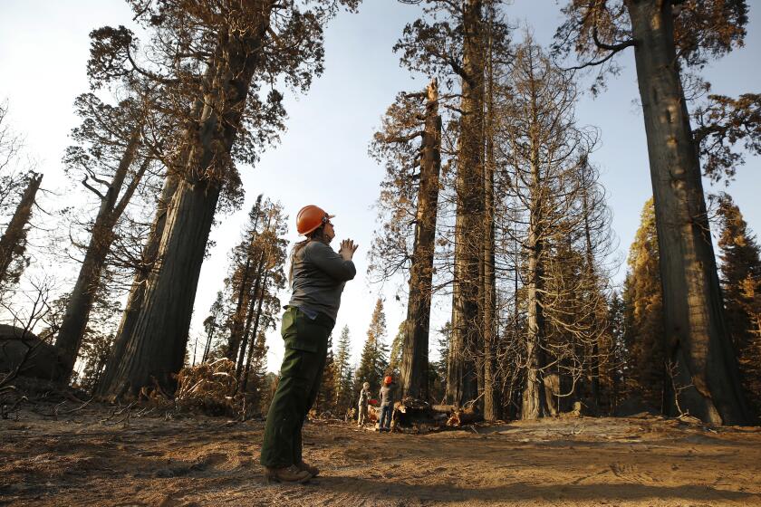
The western slopes of the Sierra Nevada are the only places these ancient trees grow naturally. Although they are considered one of the longest-living and most fire-adapted species on Earth, last year’s Castle fire burned at such a high intensity that it wiped out an estimated 10% to 14% of the population. Park officials, firefighters and conservationists have been working to avoid a repeat of the devastation.
This year’s Castle fire killed hundreds of giant sequoias, the latest in a string of Sierra Nevada wildfires that is taking an alarming toll on the world’s most massive trees.
As of Saturday morning, the KNP Complex fire had burned through at least 11 sequoia groves, toppling one giant that fell across Generals Highway last week.
The Windy fire had seared several groves of giant sequoias, killing at least 30 trees, Garrett Dickman, a botanist assigned to the fire, said Friday.
Officials said Saturday that it will take some time for the extent of the tree mortality to become clear, as teams were continuing to visit the groves and assess the damage. Some of them were in areas too remote to access safely while the fire was still active.
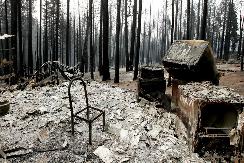
The Windy fire was 91,237 acres and 52% contained as of Saturday morning. About 2,342 personnel were assigned to the fire, which had destroyed 14 homes and two commercial buildings and was threatening about 2,100 more buildings. The homes that burned were in the Sugarloaf area, said Sue Exline, public information officer with the U.S. Forest Service.
As containment improved, authorities on Saturday afternoon downgraded evacuation orders for parts of Sugarloaf Village, as well as Panorama Heights, Poso Park, Idlewild, Pleasant View, Balance Rock, Posey and Vincent Ranch. Evacuation warnings for those areas remained in place. Other areas were still under evacuation orders that covered an estimated 200 people in Tulare County.
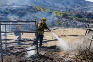
Firefighters were mostly focused on shoring up containment lines and dousing hotspots deep in the interior of the fire, Exline said.
“The fire’s kind of laid down around the perimeter, but we can’t let our guard down,” she said.
Four firefighters have been injured since the lightning-sparked fire started Sept. 9. Most of the injuries were minor, with the exception of one firefighter who suffered second-degree burns Thursday and was taken to Community Regional Medical Center in Fresno in good condition, Exline said.
Crews were being similarly challenged by warm, dry conditions due to a dome of high pressure sitting over the area, she said.
“We are having conditions out in the forest that you might see in August, with very, very low humidity and very warm temperatures,” she said. “So the fire is still burning very actively at night.”
For many residents in Northern California, summer has now become a time of dread due to extreme wildfires.
Some relief could be on the way this week, with temperatures forecast to drop four to eight degrees Tuesday followed by a sharp cooling trend Wednesday that will bring temperatures to below normal by Thursday, Spector said.
There is also a slight chance of rain Thursday night into Friday, as well as next weekend, but neither system seems likely to drop enough precipitation to be considered wetting, Spector said.
“It was looking more promising a couple of days ago, but with a blocking pattern in the eastern U.S., it’s going to be tough,” he said.
The possibility of improved conditions was welcome news to beleaguered fire crews across the state. So far this year in California, 7,769 wildfires have burned just shy of 2.5 million acres, according to the California Department of Forestry and Fire Protection. The total area burned is second only to last year, when 9,917 fires burned nearly 4.3 million acres.
Still, there have been some encouraging signs. Earlier this week, the National Interagency Fire Center downgraded the national preparedness level to 3, saying that a decrease in wildfires across the U.S. meant that more firefighting resources had become available. Before that, the nation spent a record-setting 99 days at preparedness level 4 or 5, with 5 denoting the highest level of wildfire activity, the NIFC said.
Authorities are still urging people to remain vigilant, particularly in fire-prone wilderness areas, as the season is far from over.
“Anybody going to visit their national forest or public lands right now needs to be really very careful,” Exline said. “The forests are still very, very dry.”
Times staff writer Lila Seidman contributed to this report.
More to Read
Sign up for Essential California
The most important California stories and recommendations in your inbox every morning.
You may occasionally receive promotional content from the Los Angeles Times.
