More Santa Ana winds in Southern California are on the way

- Share via
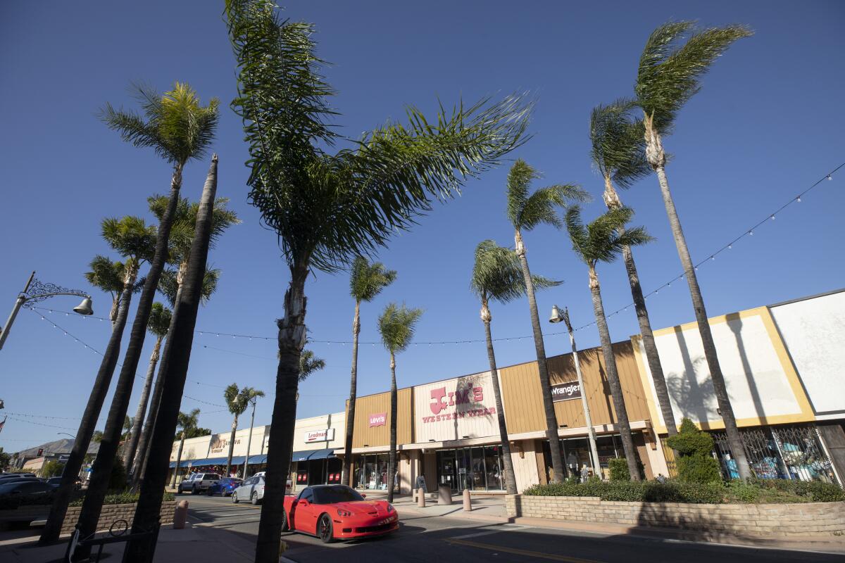
Parts of Southern California are bracing for another round of potentially damaging Santa Ana winds that could take out trees and power lines and elevate the risk of fire.
Locally gusty northerly winds will shift around to the northeast Saturday night into Sunday, peaking in the morning hours before dissipating in the afternoon, said David Sweet, a meteorologist with the National Weather Service in Oxnard.
“That will be a Santa Ana and it will be a fairly strong one,” Sweet said.
The strongest winds are expected in the mountains of Ventura and Los Angeles counties, which could see gusts of 70 mph, with 65-mph gusts possible in the Santa Monica Mountains and the Santa Clarita Valley, Sweet said. Gusts could reach 50 mph in the San Fernando and Ventura County valleys and along the coast, with gusts of 40 mph possible between the Hollywood Hills and Leo Carrillo Beach in Malibu, he said.
The winds are expected to push out to Avalon Harbor, whipping up wind waves of three to five feet, Sweet said.
Unlike onshore winds, which bring in moisture as they blow from the ocean over the land, Santa Ana winds originate inland, gaining speed, warming up and drying out as they move from higher to lower elevations and squeeze through narrow canyons and passes.
“This is a typical Santa Ana wind event that results from a low pressure system skirting by to the east of us and causing a difference in surface pressure between the high pressure over the Great Basin and lower pressure along the Los Angeles coast,” Sweet said.
Air from areas of high-pressure flows toward those of lower pressure, and the gradient, or difference, causes the intense winds.
The National Weather Service has issued high-wind warnings for the Ventura and L.A. County mountains, including the Santa Monica range, and the Santa Clarita Valley, that are in effect Saturday evening through Sunday afternoon. Many other areas are under wind advisories.
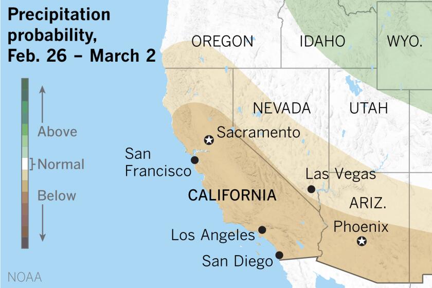
Wettest month of the year in the Southland looks like it will remain dry.
The conditions are fairly common for this time of year, although this winter has seen more Santa Ana events than is typical, Sweet said.
“We’ve been stuck in a particular weather pattern a lot this winter that has been favorable for Santa Ana winds,” he said.
Unfortunately, the same has not held true for rain. February is typically the region’s wettest month, and in a normal year, 10.7 inches would have fallen on downtown Los Angeles between Oct. 1 and now, Sweet said. So far this rainy season, just 4.39 inches have fallen.
Looking ahead to midweek, there’s a possibility of rain as early as Tuesday night into Wednesday, but forecasters are treating it as a “very low-confidence call” because models are split on whether or not it will happen, Sweet said. Another system appears more likely to bring rain to the area the following week, but it’s too far out to be sure, he said.
Even so, the rainfall probably won’t be significant enough to put much of a dent in the deficit: forecasters have said it will take a “mega-miracle” to bring Los Angeles to a normal rain year.
More to Read
Sign up for Essential California
The most important California stories and recommendations in your inbox every morning.
You may occasionally receive promotional content from the Los Angeles Times.


