‘Playground of L.A.’ lies in ashy ruin
The relentless Station fire has scoured nearly 242 square miles of the Angeles National Forest, burning through not just picnic areas and campgrounds, but the raw, solitary beauty that has long been a refuge for a sprawling city.
Ridge after ridge is a ghostly gray, laid bare of vegetation from the plunging foothill canyons to the Mojave Desert. Only scattered islands of trees are un-charred -- in the deepest draws and in remote, rocky cornices on a few high ridges.
“What I saw was a pretty complete burn,” said U.S. Forest Service spokesman Stanton Florea.
The 154,000 acres burned as of Saturday constitute about a quarter of the national forest.
The area’s proximity to the urban heart of Los Angeles -- and its easy access via the Angeles Crest Highway and dozens of trails switchbacking out of the foothills -- makes it one of the most heavily used parts of a forest visited by 3 million to 5 million people every year.
“This is the playground of L.A.,” Florea said. “More than 70% of the open space in L.A. County is in the Angeles National Forest.”
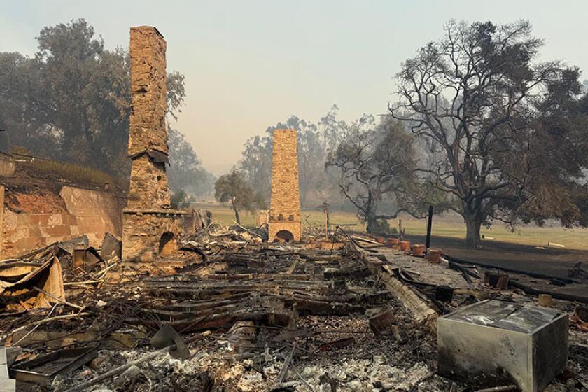
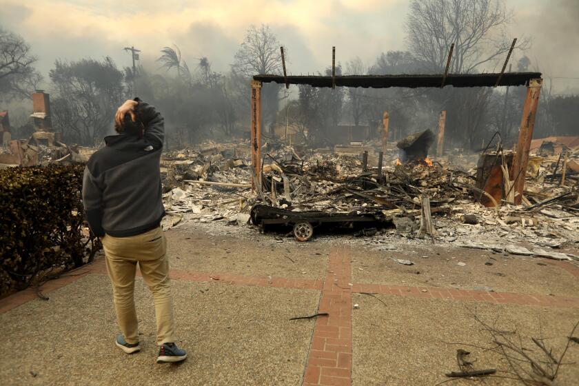
The Station fire, the largest in the modern history of Los Angeles County, has been devastating on many levels, most notably claiming the lives of two firefighters and destroying 76 homes. Authorities said the cause was arson and have launched a homicide investigation.
With 49% containment Saturday, fire officials said they had controlled the last hot spots on the western edge, including Little Tujunga and Pacoima canyons.
But the battle wore on in the east, the fire belching out yet another ominous smoke plume as it burned into the roadless San Gabriel Wilderness Area, where bighorn sheep sometimes roam on exposed ridges up to 8,000 feet high, less than 25 miles from the downtown skyscrapers.
Ground crews cut fire lines in the remote area, and a DC-10 dropped retardant on the flame front, officials said. By nightfall, the fire had burned northeast and was five to eight miles from the town of Juniper Hills about 20 miles south of Palmdale. But no evacuations were ordered Saturday.
--
Surveying the ruins
In areas where the fire had come and gone, forestry officials began to take stock.
In Big Tujunga Canyon and the Arroyo Seco -- at popular spots such as Wildwood, Vogel Flats and Gould Mesa -- picnic tables, barbecues, restrooms, even some trees survived. But the surrounding landscape looked like a moldering wasteland.
The fire’s footprint on the front range east of the Arroyo was patchier. The west side of Mt. Lowe and upper Millard Canyon burned, while Echo Mountain, Eaton Canyon, Henninger Flats, Chantry Flat, and Millard Canyon at and below the campground appeared unscathed Saturday.
Forest Service officials are trying to determine losses farther into the mountains. And in coming days, federal Burned Area Emergency Response teams -- including biologists, soil scientists and fire behavior specialists -- will set out to assess the likelihood of devastating floods and debris flows during winter rains.
The forest and the Angeles Crest Highway will be closed indefinitely. Roads throughout the area are littered with fallen rocks and debris, unmoored by the loss of vegetation.
As the fire lumbered through the high country late last week, it destroyed the 74-year-old wood-and-granite Vetter Mountain Fire Lookout, the last lookout in the San Gabriel Mountains.
“We feel like we lost a family member,” said Pam Morey, head of the Angeles Forest Fire Lookout Assn. “It’s especially hard to lose something you love to arson.”
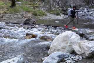
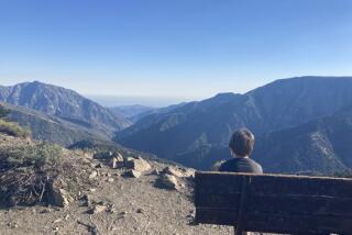
Many people hold similar personal attachments to the forest -- to swimming holes, little shady spots, sweeping vistas of the city below.
The area is a popular destination for mountain bikers, hikers, picnickers, backpackers, trail runners, gold panners, hunters, anglers, skiers and off-road vehicle drivers.
Throughout the week, Lance Benner, an astronomer at the Jet Propulsion Laboratory, has been going to an overlook in Pasadena to see if his favorite mountain biking areas were burned. He couldn’t bear to think an important part of his life might be gone.
“It’s going to be gut-wrenching to see it all,” he said. “Some of those lovely trees, those oaks and Douglas firs -- those might not be back in my lifetime.”
For many people like Benner, who lives in Altadena, the appeal of living in the foothills is being close to nature. “You just go up on the ridge and it’s easy to think 15 million people aren’t anywhere near you,” he said. “It’s really a refuge.”
Chaparral is evolved to grow back after periodic fires. The seeds of some species of manzanita and ceanothus cannot germinate until they are primed by smoke or heat. But it may take generations to replace the canopy of trees that gave some of the most popular areas their ambience.
Rick Halsey, founder of the California Chaparral Institute, said nearly half of the area burned in the Station fire had also burned in the 1970s. But some spots hadn’t burned in over 100 years.
“This is the tragedy,” said Halsey. “There was some really special stuff in there.”
--
Trails crumble
It’s not just the wilderness that is damaged, but the vast network of trails.
Because the San Gabriel Mountains are so steep and loose with crumbling rock, many trails rely on retaining walls -- with wood supports -- as they cling to near-vertical terrain. When those burn, the trails collapse.
Parts of the Sunset Ridge trail, from Altadena to Mt. Lowe, had already fallen into the depths of Millard Canyon, and rains this winter could further damage the trail.
The entire western third of the San Gabriel Mountains is now a scene of broken rock, white ash and charred timber. All that loose material threatens to become a slurry roaring down hillsides and canyons.
“I’m sure we’ll be doing lots of trail rebuilding,” said Bob McClain, Scoutmaster of Boy Scout Troop 333 in South Pasadena.
McClain and his Scouts have hiked into some of the deepest recesses of the forest, including a 55-mile, 7-day loop out of Chantry Flat where they crossed paths with just a few people. He is particularly concerned about Devil’s Canyon in the San Gabriel Wilderness, where the flat bottom is thick with Douglas fir, oak and pine and a year-round stream fills pool after pool with cool water.
“Looking up there you feel a real sense of sadness that all these memories you’ve had over the years are being burned up in some way,” he said.
Susan Seager, an attorney from South Pasadena, has been studying maps of the fire in despair.
“Without the trees it’s going to be dusty and too brutally hot. I’ve tried hiking in Griffith Park after the fire there and it’s just too scorched.”
Kathleen Ford, 60, of Tujunga called the loss of so much wild land “psychologically devastating.”
“People are here because they love nature and have a strong bond with it,” she said. “Now that all has been lost, I think that we’re a grieving community.”
--
Times staff writers Catherine Saillant and Ruben Vives contributed to this report.
More to Read
Sign up for Essential California
The most important California stories and recommendations in your inbox every morning.
You may occasionally receive promotional content from the Los Angeles Times.


