Winter Storm Bearing Down on Southland
A powerful northern Pacific storm was expected to dump heavy rain today on the San Fernando, Antelope and Santa Clarita valleys.
Snowfall is also forecast for elevations above 5,000 feet, dropping to 2,500 feet by early Monday, according to the National Weather Service.
Originating in the Gulf of Alaska, the storm is expected to hit Southern California with the brunt of its precipitation, forecasters said.
By Monday, up to 12 inches of snow could fall in the high mountains and up to 3 inches in the Antelope Valley, said Curt Kaplan, a weather service meteorologist. He said the storm could drop snow on the Golden State Freeway near Gorman as well as the Antelope Valley Freeway and the Angeles Crest Highway.
“It’s going to be the coldest system to come down” this season, Kaplan said.
The service issued a winter weather watch Saturday for the mountains of Los Angeles and Ventura counties, excluding the Santa Monica Mountains.
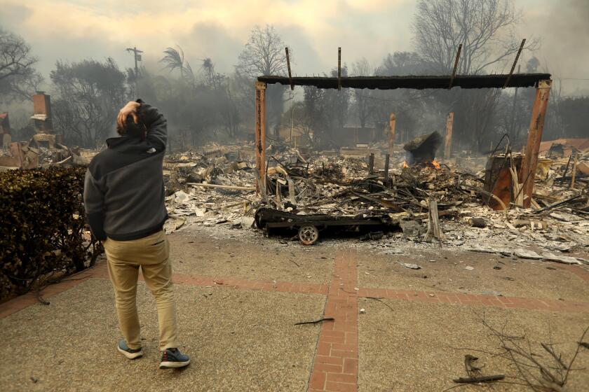
With up to 2 inches of rain expected in the foothills, the National Weather Service also issued a flash-flood watch for burn areas, including the San Rafael hills in Glendale.
As for special storm preparations, “we’ll have to wait and see what happens,” said Victoria Jugenheimer, a California Highway Patrol dispatcher.
Surf levels were also higher than normal Saturday after recent rains. “We’ve had a series of storms that have kicked up the sea, so we’re getting some strong surf,” said Bruce Rockwell, a weather service meteorologist.
More to Read
Sign up for Essential California
The most important California stories and recommendations in your inbox every morning.
You may occasionally receive promotional content from the Los Angeles Times.


