A Day for Taking It From the Top
- Share via
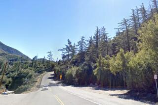
I was raised in Sierra Madre, in the foothills of the San Gabriel Mountains. And, for 45 years, there has rarely been a smog-free day when I haven’t thrown at least one admiring glance at Mt. Wilson, the highest peak in sight.
But it wasn’t until recently that I discovered that the vista from Mt. Wilson’s 5,710-foot ridge top--as well as what you see on the way down--is more breathtaking than the view from my parents’ old front porch.
Not wanting to hike the 8.6-mile Mt. Wilson Trail both ways, six other hikers and I got a ride up and walked downhill.
After winding up Angeles Crest Highway, we began our descent through fog and thick chaparral, where the air grew thin and refreshing. As we hurried past a snake heading deeper into the bushes, we tried to balance our weight on slippery rocks covering the path.
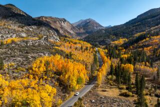
After what seemed like endless switchbacks, we reached the junction that would take us down Little Santa Anita Canyon to the bottom slopes of the mountain. The view was postcard quality--fields covered with wildflowers with snowcapped Mt. Baldy in the background.
We kept on the lookout for mountain lions and plants like poison oak, just in case. Friendly hikers stopped to chat. One even took the time to introduce us to blue- and white-flowered ceanothus and brilliant orange poppies.
I found solitude and a time to reflect at the waterfalls where the early morning sunlight spilled through the evergreens and the frantic pace of city life seemed absurd. Up there, deer, chipmunks and squirrels constitute traffic.
Seldom have I felt so invigorated, unexpectedly finding this oasis for the mind and body.
Next time, we’ll hike up.
More to Read
Sign up for The Wild
We’ll help you find the best places to hike, bike and run, as well as the perfect silent spots for meditation and yoga.
You may occasionally receive promotional content from the Los Angeles Times.


