Record Heat Rides In on Santa Ana Winds
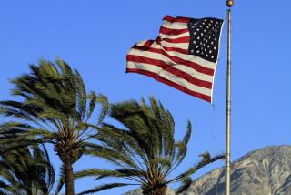
Santa Ana winds blew hot, dry desert air into the Los Angeles basin Tuesday, setting a temperature record and sending nearly 200,000 people to the beaches from Zuma to Newport.
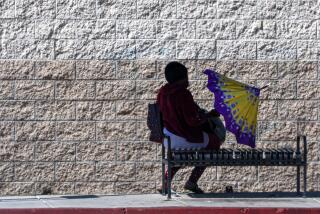
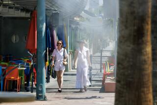
The high at Los Angeles Civic Center reached 93 degrees shortly after noon, and the National Weather Service said that made it the hottest April 21 on record--two notches above the old mark of 91 degrees set in 1958.
It was hot in San Francisco, too: By late afternoon, temperatures along Market Street had reached 90 degrees, which was 10 degrees above the record for the day that had stood for six decades--and one degree above the hottest temperature ever recorded for April in that city.
Other temperature records for the day fell in Oakland, San Jose and Alameda, and San Diego’s reading of 87 was just one degree short of the 88-degree record set there in 1899.
It was even hotter--though no record--elsewhere: Palm Springs and San Bernardino both topped out at 98 degrees; Monrovia was only a degree cooler at 97; afternoon temperatures at Blythe and Ontario rose to 95, and it was 94 degrees in San Gabriel, San Juan Capistrano, Montebello--and in Woodland Hills, where the overnight low of 68 degrees was the highest minimum for the date.
Forecasters said it was going to be just as hot today, too.
Cary Schudy, meteorologist-spokesman for Earth Environment Service, a private forecasting firm based in San Francisco, said the heat--and the winds--were all because of two high-pressure areas.
“One high-pressure area,” he said, “is at high altitude over California, and it could produce quite a bit of heat by itself. But it has help: There is another one at low level, much larger, covering the whole western United States.
“Working together, they are forcing the desert air westward through the mountains . . . into the coastal basin, where they clear the sky of clouds and dry the skin.”
Schudy said the large high-pressure area centered over the Rocky Mountains is beginning to weaken.
“The Santa Ana should die by Wednesday afternoon, and by Thursday a developing onshore breeze should knock the temperatures down by 5 or 10 degrees along the coasts, though it should stay pretty warm in the mountains and deserts,” he said.
Parched Air
Meanwhile, the air was parched.
The high relative humidity reading in Central Los Angeles Tuesday was only 30%, while the low was 13%, and the National Weather Service said it should stay that way today until the winds stop blowing from the northeast.
Electric power demand--though far below record levels--increased markedly during the afternoon, according to the Los Angeles Department of Water and Power and Southern California Edison, as home air conditioners got what was in many cases their first workout of the season.
Other Southern Californians had their own ideas on how to keep cool.
They drove their cars westward to the end of the pavement.
They parked.
And got out carrying beach towels.
“It’s pretty crowded for a weekday in April,” Los Angeles County Lifeguard Dave Olesen said. “No parking problem and no trouble overcrowding, of course. But there were a lot of people on the sand when I came to work just after dawn. . . . A lot of them were still there by mid-afternoon.”
Beach temperatures were mostly in the high 70s, with surf two to four feet in most places and water temperatures running 10 or more degrees cooler than the air.
Those who had time for a day of sailing fared less well, however: A small-craft advisory was in effect for inner coastal waters from Ventura to Dana Point, with northeast winds rising to 25 knots at times and choppy four-foot seas Tuesday afternoon and evening, and forecasters said the condition could last well into the night, with southwest winds rising to 18 knots or more this afternoon and three-foot seas.
More to Read
Sign up for Essential California
The most important California stories and recommendations in your inbox every morning.
You may occasionally receive promotional content from the Los Angeles Times.


