NASA grant to go toward UCI-led project studying beach, dune loss

The National Aeronautics and Space Administration has tapped researchers at UC Irvine and the University of Houston to develop a means of monitoring local beaches and dunes by satellite.
University officials in Irvine announced earlier this month that researchers have received a $675,000 grant from NASA that will be divided between both universities. Approximately $350,000 will go to the Irvine campus for what is expected to be a three-year project to support graduate students, researchers and the cost of some of the equipment used in the study.
UCI professor of civil and environmental engineering Brett Sanders said the project aims to use satellites to examine the distribution — height, width and volume — of sand on local beaches.
Sanders said there are existing ground-based methods of analyzing sand distribution, but some can be prohibitively expensive. Currently, beaches are monitored by way of surveying, LIDAR scanning and drone photography.
Those methods, however, are limited to one beach at a time.
“You might get a mile stretch of Huntington Beach or part of Newport Beach, but you can’t really do everything all at once,” said Sanders. “So, we have really patchy [existing] data on where sand is, how it’s changing and where we are losing it the fastest. We don’t know; so, we’re working with NASA to see if we can see it from a space-based platform.”
Sanders said the impetus for the project was the ongoing erosion occurring up and down California’s coast. Earlier this year, the state provided $15.5 million in funds for a sand replenishment project at Huntington and Newport beaches.
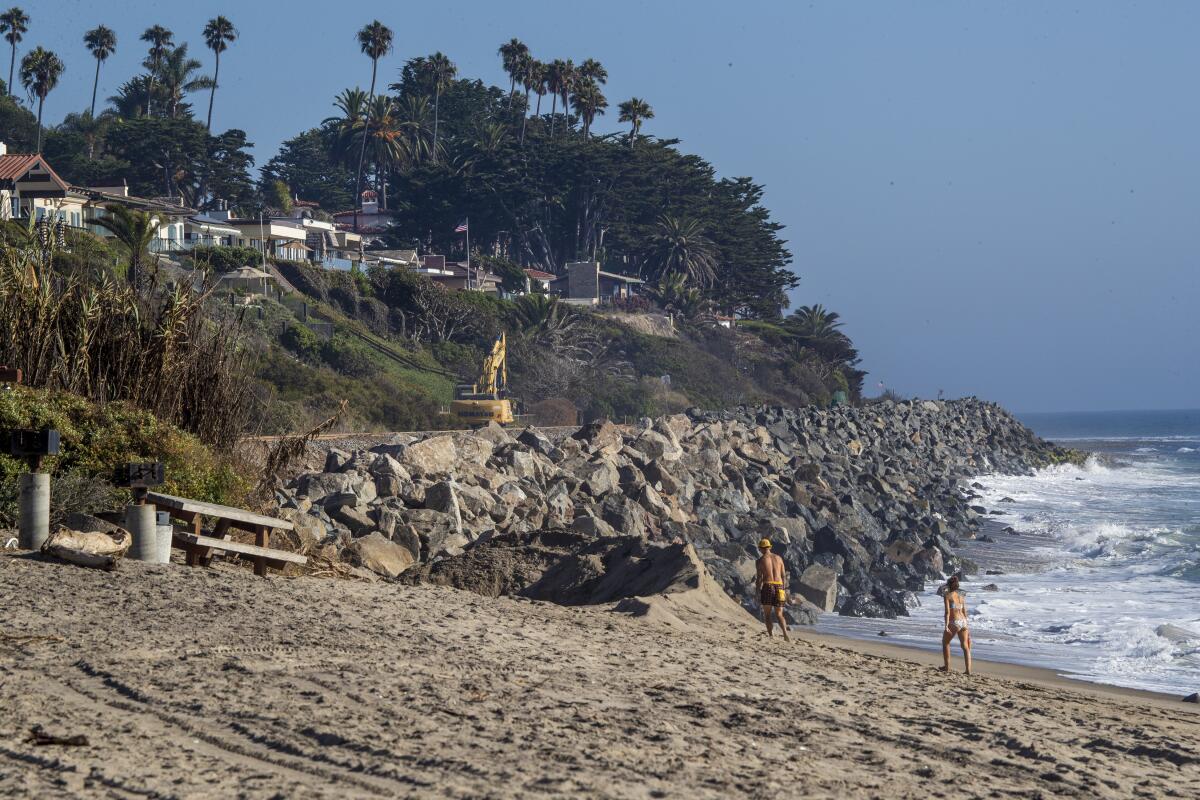
Other cities like San Clemente have seen some of the worst coastal erosion, and officials there adopted a Coastal Resiliency Plan in December to address the potential future consequences of sea level rise.
“Beaches are an incredibly important resource for Southern California, and we are seeing them disappear before our very eyes,” said Sanders. “We’re seeing the sand supplies get cut off. Sea levels are rising. Waves are pulling sand away from the coast. I’m interested in making sure that people ... have access to data where this problem is acute and where beaches are stable.”
Sanders said that information can then be conveyed to authorities at the state, county and city levels for them to take steps toward protecting an invaluable resource.
Sanders is collaborating on the project with Pietro Milillo, a UH professor of civil and environmental engineering.
UC Irvine will be conducting field research at Doheny State Beach in Dana Point, San Clemente State Beach in San Clemente, San Onofre Beach in San Diego, Newport Beach and possibly Ensenada, Mexico. Meanwhile, UH researchers will work to develop a digital elevation model from the data parsed from the satellites.
“Our first goal is to document surface elevation changes in very high resolution and to verify if our satellite-based approach can match the accuracy we can achieve with proven ground-based and aerial sensors,” Milillo said in a news release. “If this proves successful, we’ll be positioned to document surface elevation along all coasts every month, with better coverage and at lower costs to coastal communities than has ever been possible before.”
Sanders said the team in Irvine will also create a digital elevation model from its ground data to be compared to the satellite model in Houston to determine accuracy.
The project will also look at flood risks involved with the shrinking coastline. Sanders said beaches are typically wider in the summer, but local beaches have lately been affected by large wave events that have led to an increase in summer flooding.
He notes that the project‘s potential benefits shouldn’t be seen as limited to Southern California but as a boon to all coastal cities across the globe.
“Once we get this method developed, we can use it to map beaches of every coastline and every country of the world. Beach loss is a global challenge. We want to the able to have a new technology that has global applicability. We’re just using Southern California as a research laboratory to develop the method.”
All the latest on Orange County from Orange County.
Get our free TimesOC newsletter.
You may occasionally receive promotional content from the Daily Pilot.


